
Approve sensitive changes
By default, deleting or overwriting waits for your confirmation.
- Ask first
- Balanced
- Autopilot
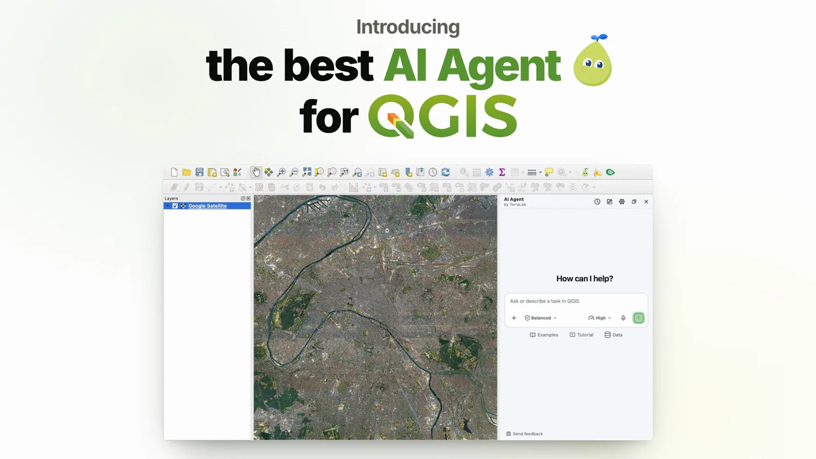
Describe the task in one message. It finds the data, runs the analysis, styles the layers and builds the print layout in your open project.
Free: 5 tasks a month, no card. Windows, macOS and Linux.
“One of the best that I've seen for agents in QGIS.”
Hans van der KwastReview on YouTube · 13 minFour real runs in QGIS, one message each. The times are the median of last week’s real tasks.
The message
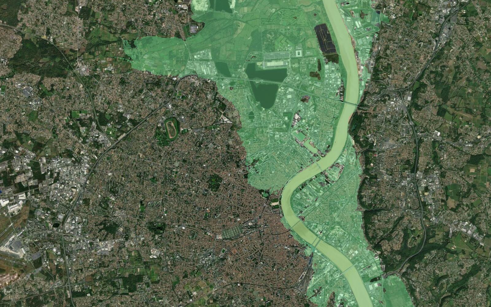
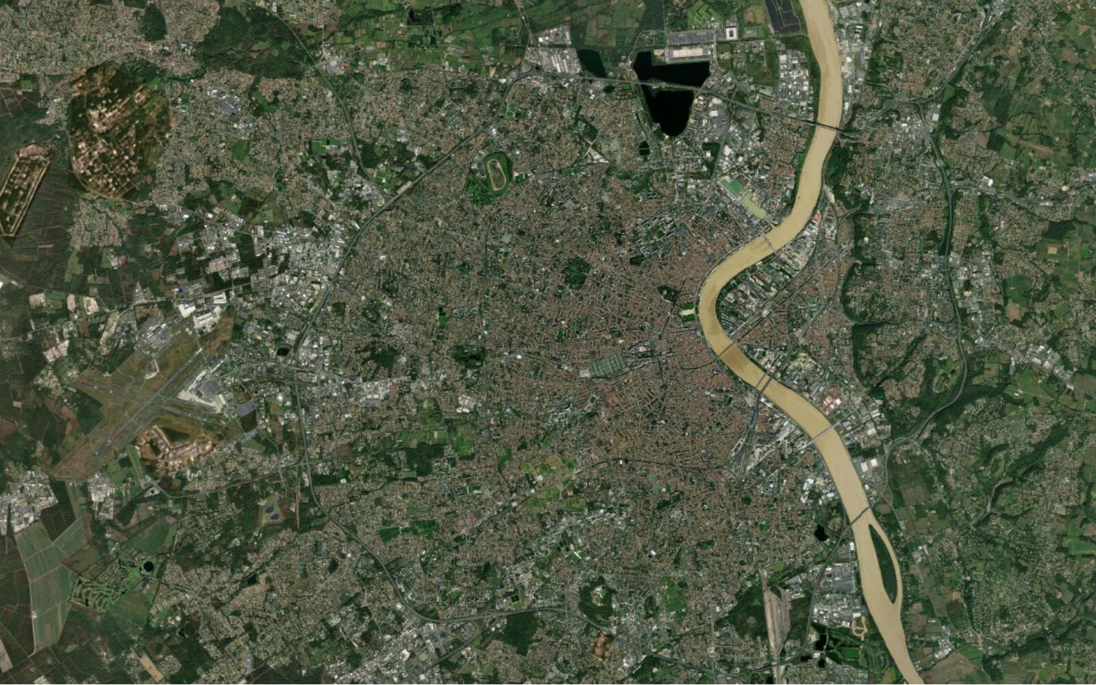
Find the official flood risk zones for Bordeaux, France and show them over a satellite basemap.
Three official flood scenarios along the Garonne, over satellite imagery.


The message
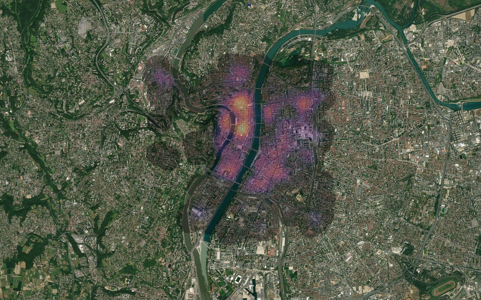
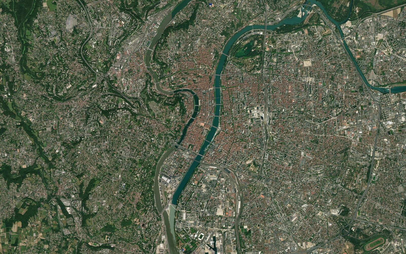
Make a heatmap of the restaurants and cafés in central Lyon, France, over a satellite basemap.
582 places loaded, a metric CRS set and a 350 m heatmap drawn.


The message
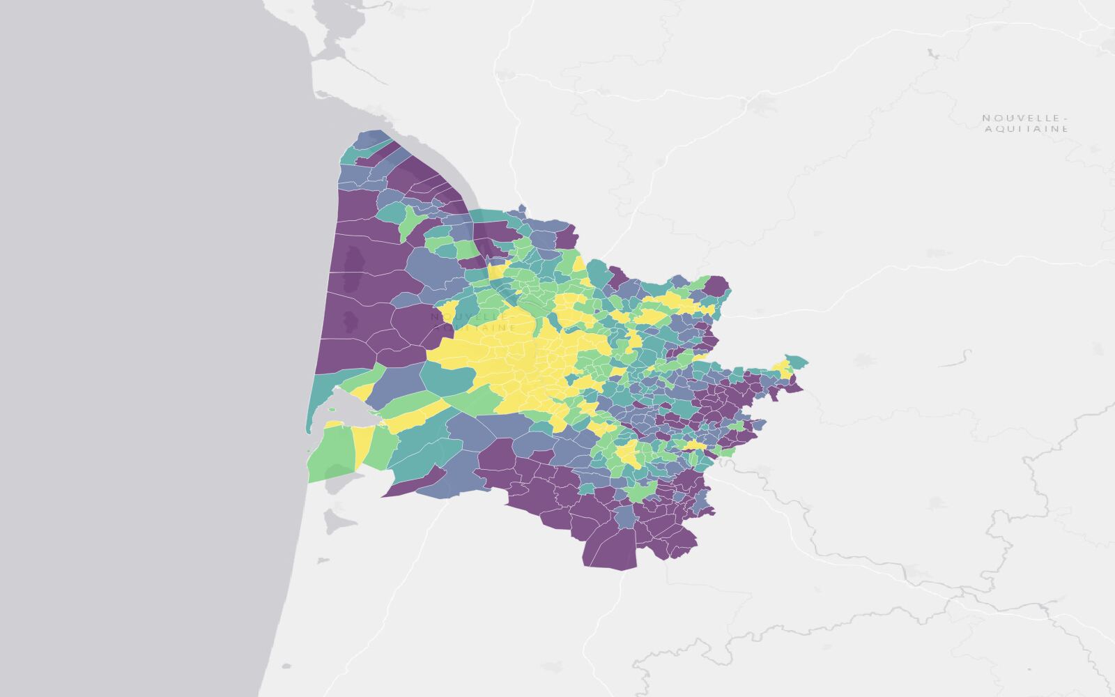
Map the population density of the communes of Gironde, France, as a choropleth with a legend, over a light basemap.
534 communes coloured in five density classes, with a legend.


The message
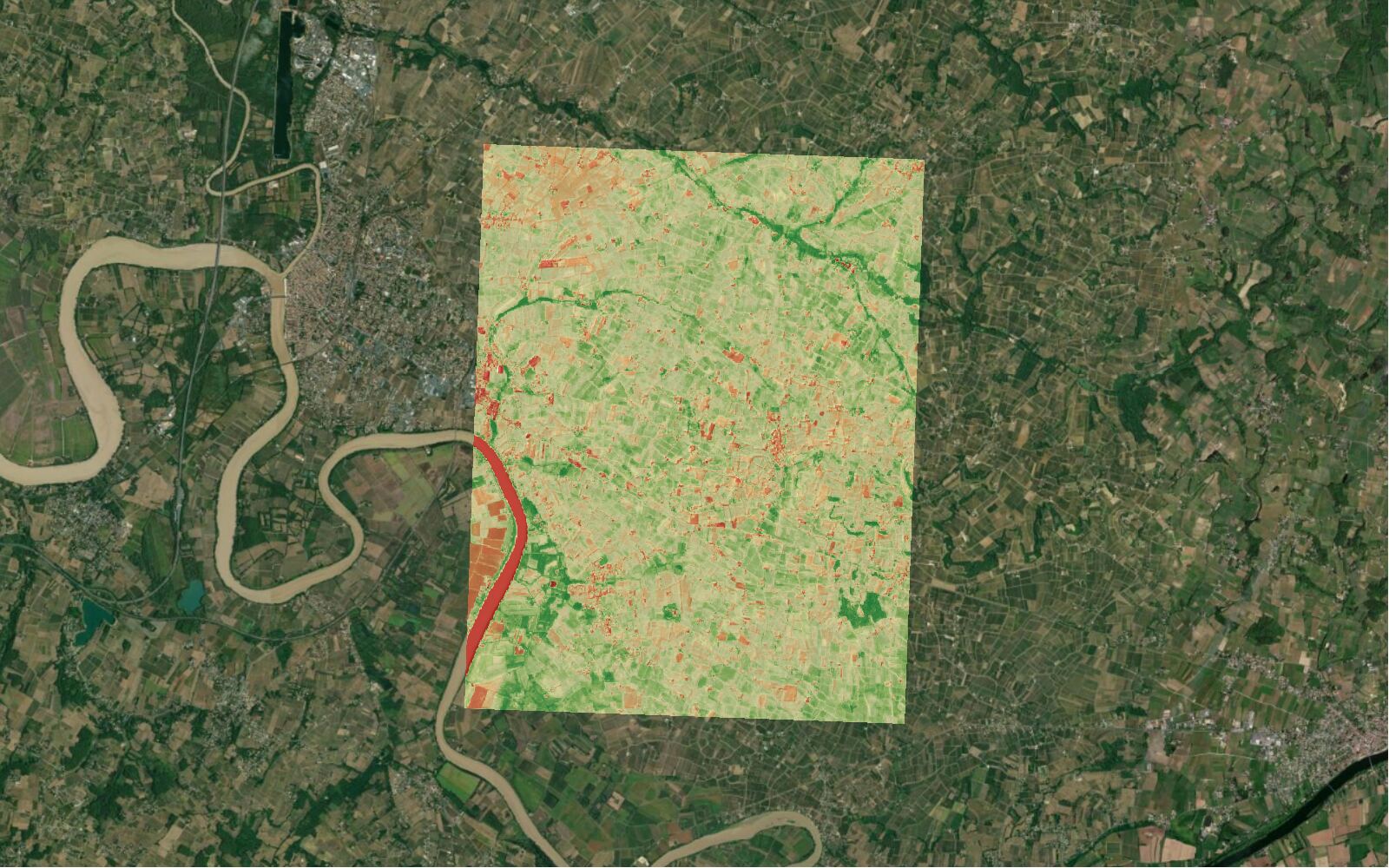
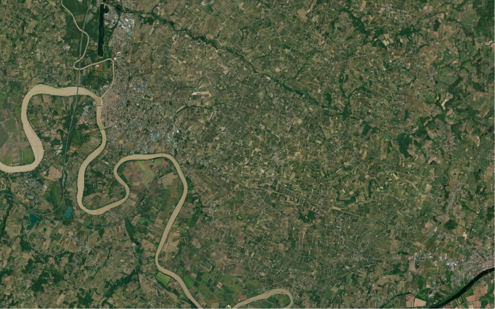
Show the vegetation health (NDVI) of the vineyards around Saint-Émilion, France, from the most recent cloud-free Sentinel-2 image.
The 14 September 2026 image picked (0.25% cloud), NDVI at 10 m.


The message
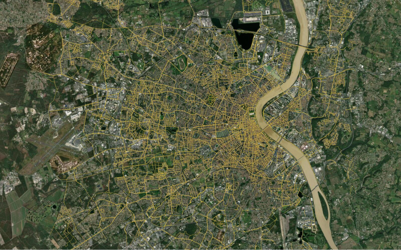
Use a web search to find Bordeaux Métropole's open data portal, then load its cycle paths layer over the current map.
The portal found on the web, 23,609 cycle lanes loaded in the map view.


It already sees your layers, fields, CRS and map extent.
Each step shows as it runs: the data it found, the algorithms, the styles.
It renders the result, looks at it and fixes what reads wrong before it answers.
By default, deleting or overwriting waits for your confirmation.
Undo changes and Redo changes under each answer put the map back. Map history lists every version kept.

One slider in the composer, right before you send. It sets how many steps and how much time one task can use.

AI Agent works on them inside QGIS and never uploads your project, layers or rasters. Our servers in Europe receive your question, a project summary and the results of the agent's actions.
What each plugin sendsEvery layer arrives with its licence and its attribution, so the map you export can be published.
Drives AI Edit and AI Segmentation, and adds QuickMapServices basemaps
Excl. VAT. Cancel anytime.
Free for 7 days, then €49/month. Cancel in one click.
More volume, or a custom request
Price on request
More volume
Or a custom request, for example:
Prices excl. VAT. Tax is calculated at checkout.
Every QGIS plugin, one subscription
AI Agent · The strongest AI for your GIS projects
AI Segmentation · Turn aerial imagery into polygons
AI Edit · Simulate a project on real imagery
| What you get | Free | Pro |
|---|---|---|
| Tasks a month | 5 | 300 |
| Steps per task | 150 | 200, and 300 on High once your trial ends |
| Effort levels | Low | Low, Medium, High (High once your trial ends) |
| Permission levels | Ask first, Balanced | Ask first, Balanced, Autopilot |
| Open data and QGIS tools | All of it | All of it |
| Memory | Included | Included |
| Custom instructions | Not included | Included |
| Conversation kept | 90 days | 30 days, or none |
| Commercial use | Not included | Included |
QGIS runs on a computer (Windows, macOS or Linux). Open this page there to install it.

Small jobs before you open QGIS: convert a GIS file or change a coordinate system, free, in your browser.