
The AI plugins stack for 
Used by geospatial professionals at
 Eiffage
 UNESCO
 NASA
NASA IGN
IGN Cisco
Cisco Van Oord
 Stanford
 SNCF
SNCF ICEYE
ICEYE Deutsche Bahn
 CNRS
CNRS ENGIE
ENGIE WSP
WSP Suez
Suez Repsol
 AECOMEiffageUNESCONASAIGNCiscoVan OordStanfordSNCFICEYEDeutsche BahnCNRSENGIEWSPSuezRepsolAECOMEiffageUNESCONASAIGNCiscoVan OordStanfordSNCFICEYEDeutsche BahnCNRSENGIEWSPSuezRepsolAECOM
0:00 / 0:00
 QGIS Plugin
AI Edit
Edit aerial and drone imagery in QGIS. Remove objects, modify terrain, simulate changes. Prompt-driven editing, georeferenced output.
4.8
51+ reviews4,000+ downloads5 free generations, then €19/mo
Use AI Edit in QGISQGIS Plugin
AI Segmentation
Extract buildings, roads, and vegetation from aerial and drone imagery. Point, click, get precise outlines. No tracing.
4.7
204+ reviews27,000+ downloadsFree forever
Use AI Segmentation in QGIS0:00 / 0:00
Frequently Asked Questions
- TerraLab builds AI tools for QGIS. We make plugins that automate map work, and 3D models of real places.
- Our plugins are built for QGIS, the leading open-source GIS software. They are available in the official QGIS plugin repository and work on Windows, macOS, and Linux.
- AI Segmentation is completely free and open source. AI Edit gives you 5 free generations, lifetime (no monthly reset), with no credit card required. After that, 19 euros per month for about 150 generations per month. Cancel anytime, no commitment.
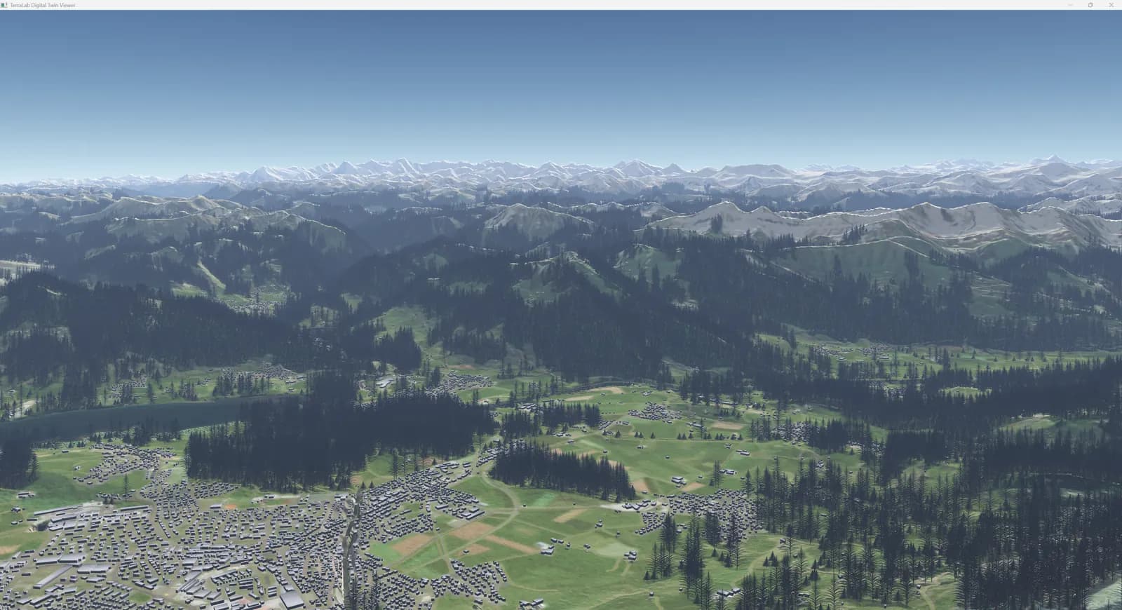
- Our Digital Twin solution creates photorealistic 3D representations of real-world environments from geographic data. It combines terrain modeling, building reconstruction, and vegetation rendering into a single pipeline.
- Yes. We offer geospatial AI consulting, custom plugin development, and enterprise integration. Contact us to discuss your specific needs.
- AI Segmentation runs entirely on your machine. Your data never leaves your computer. For AI Edit, only the selected image area is sent for processing. Geographic coordinates never leave your machine. Everything is automatically deleted after 30 days.