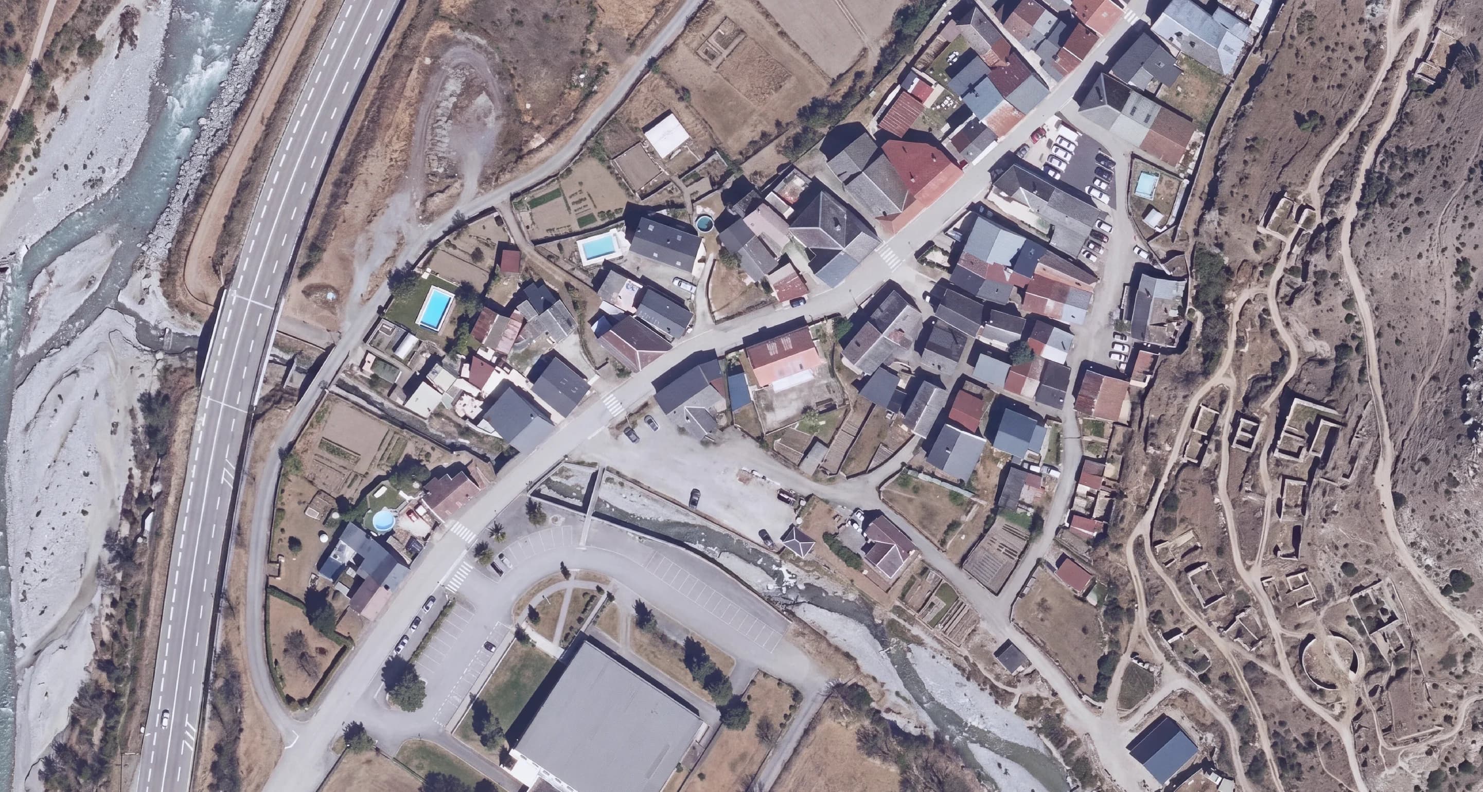
Transform aerial imagery with AI, right in 
Remove objects, modify terrain, generate variations.
Describe what you want. AI does the rest.
Three ways to get more from your imagery
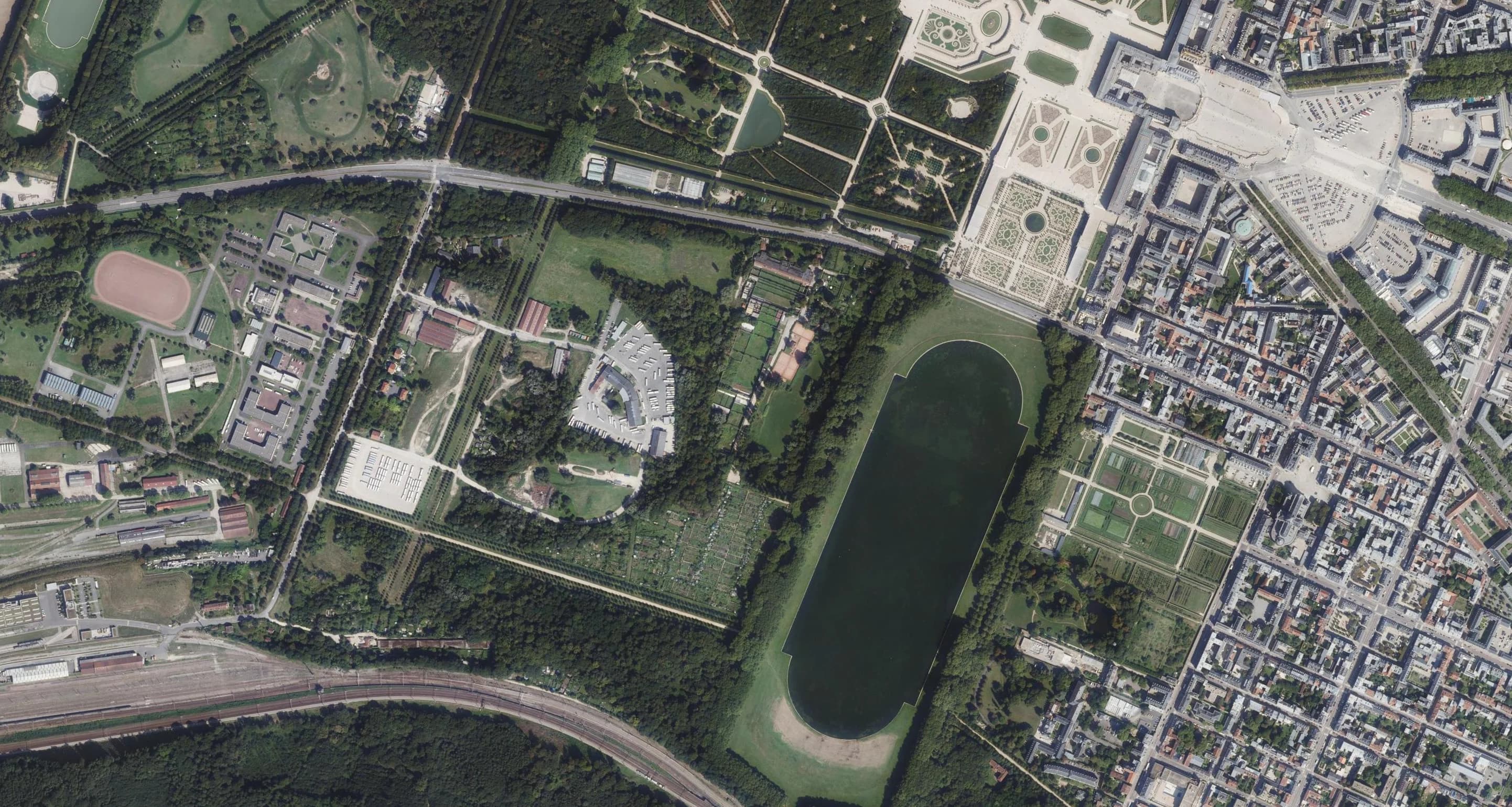
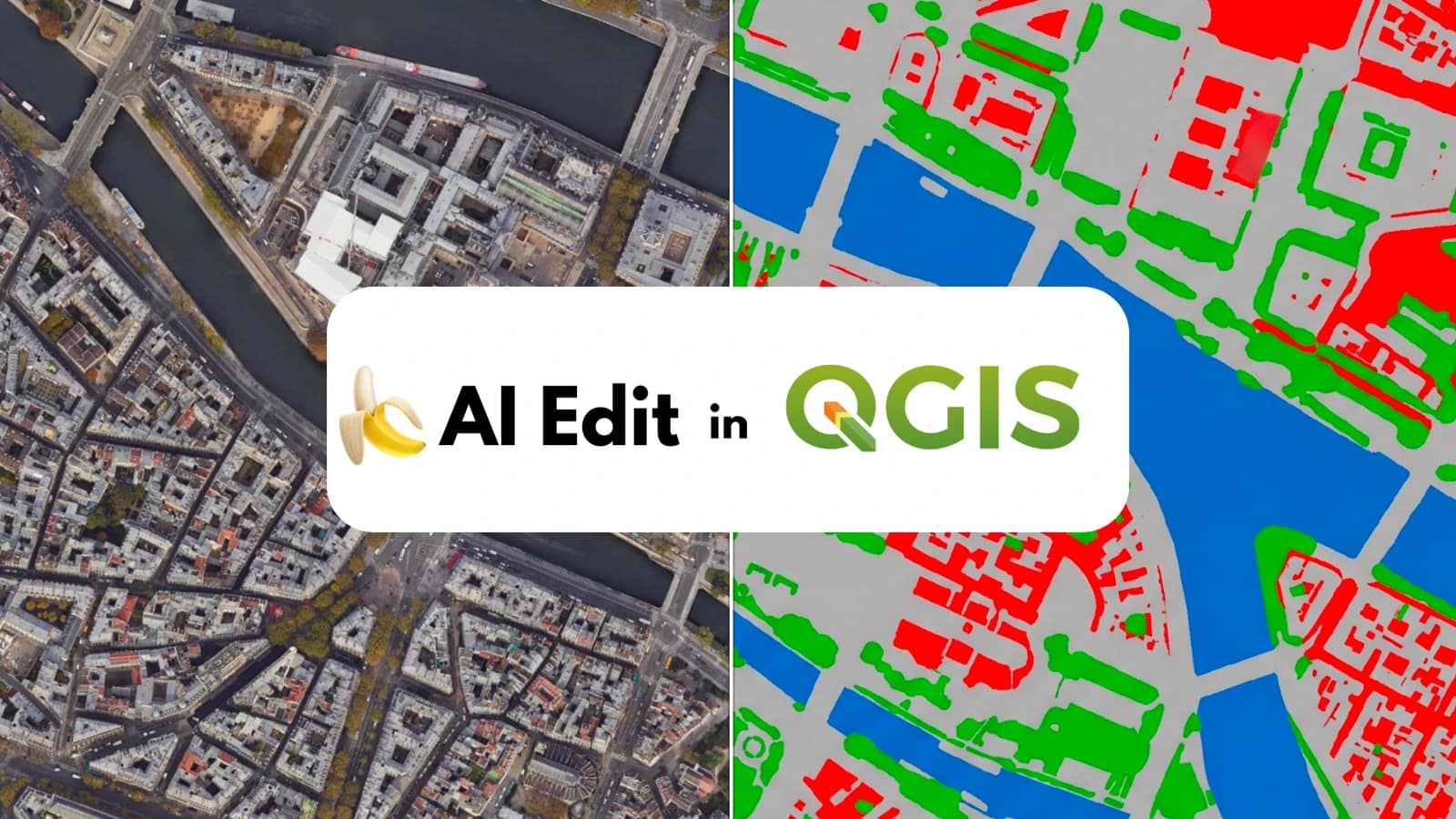
Classify
Turn your image into usable vectors to analyze the territory: detect, segment and count what's in it.
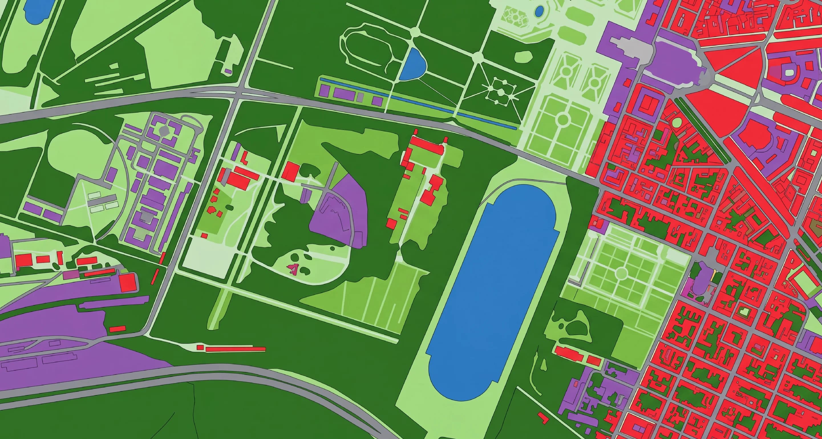
Land cover
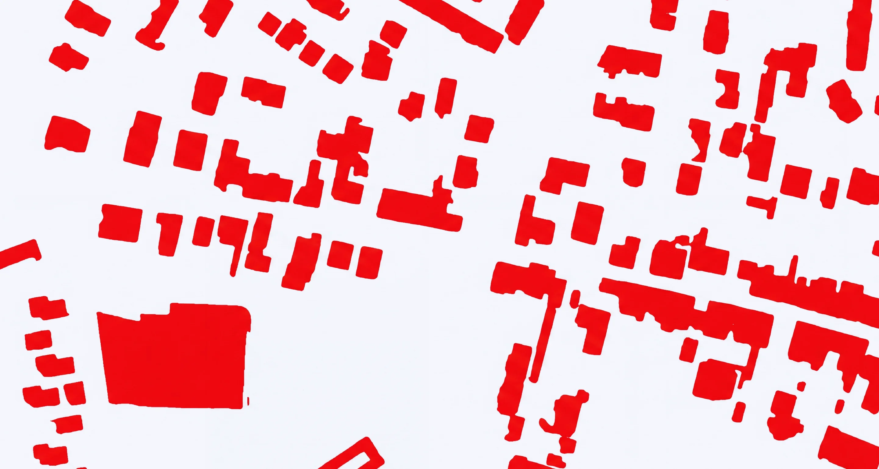
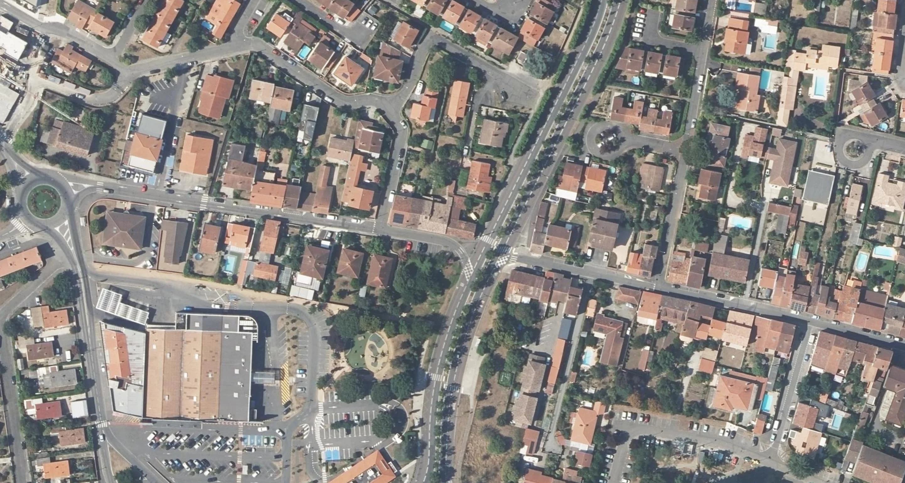
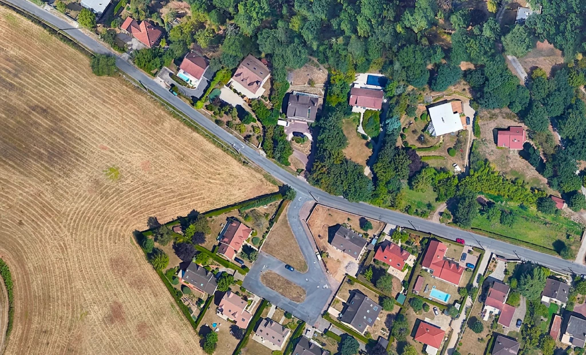
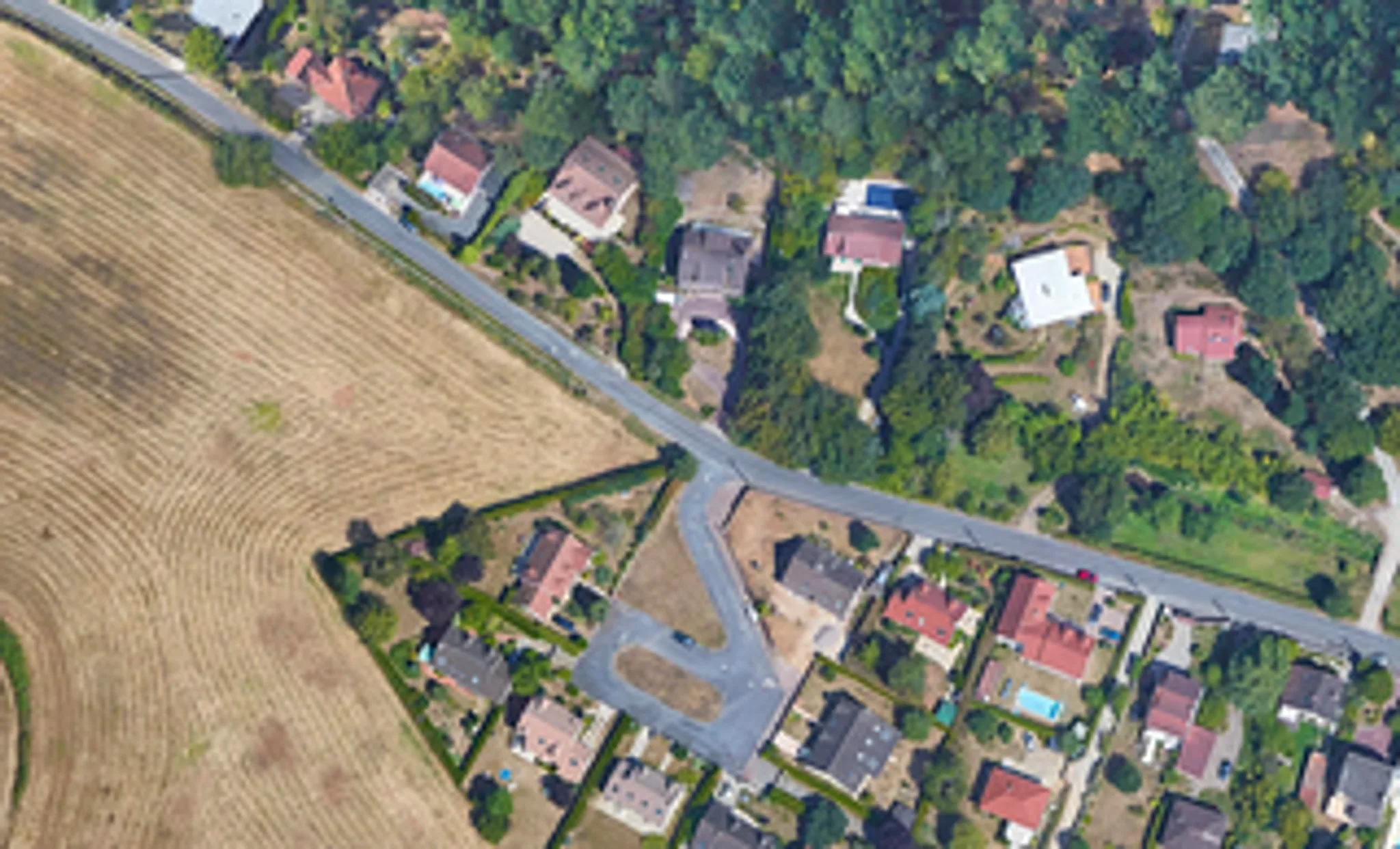
Extract buildings
Project
Build scenario visuals to decide, or help others decide: enough to convince an executive, an elected official or a project lead.
Flooding
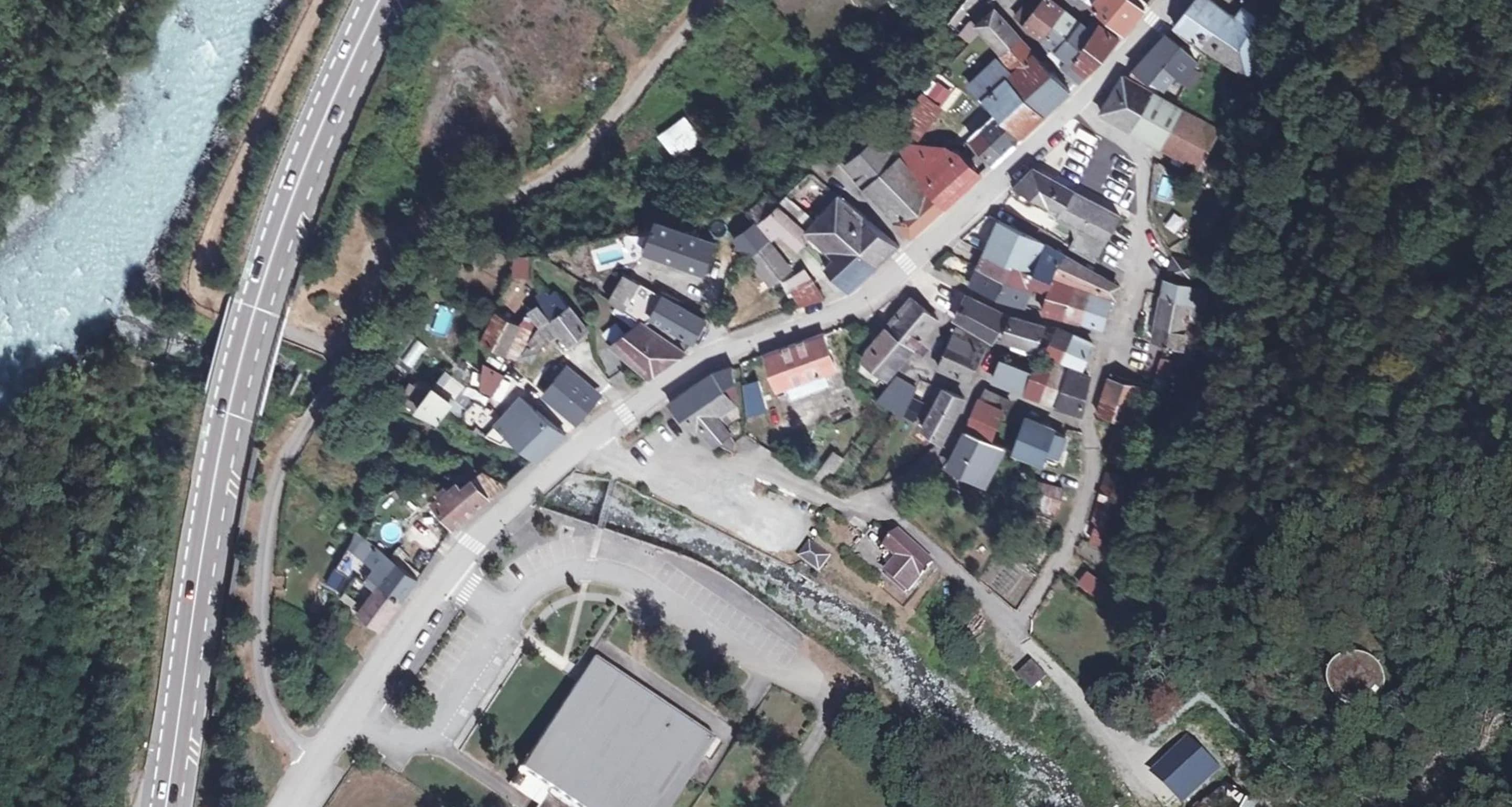
Clear the canopy
Render
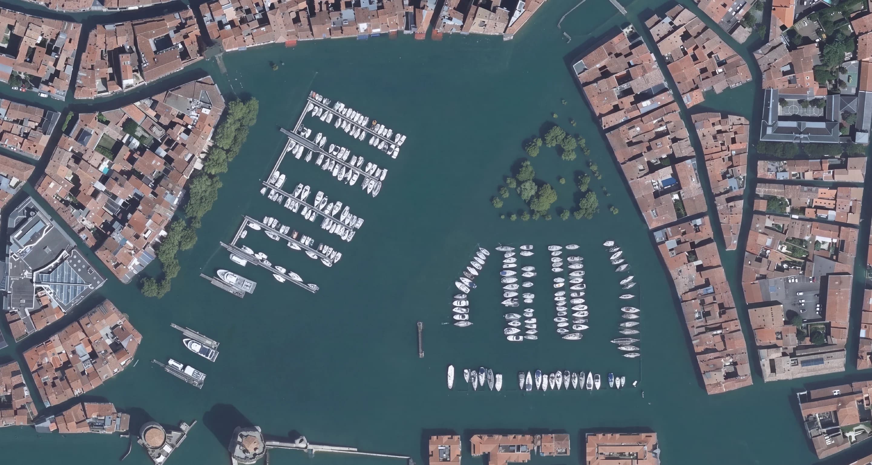
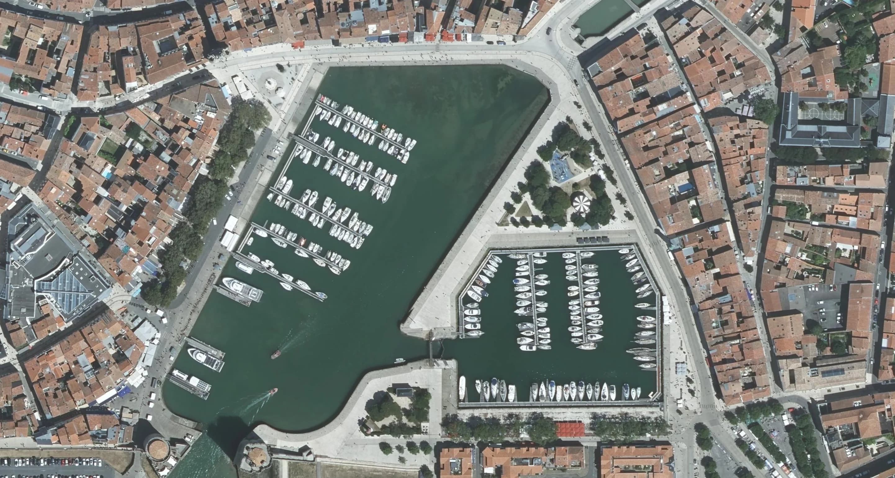
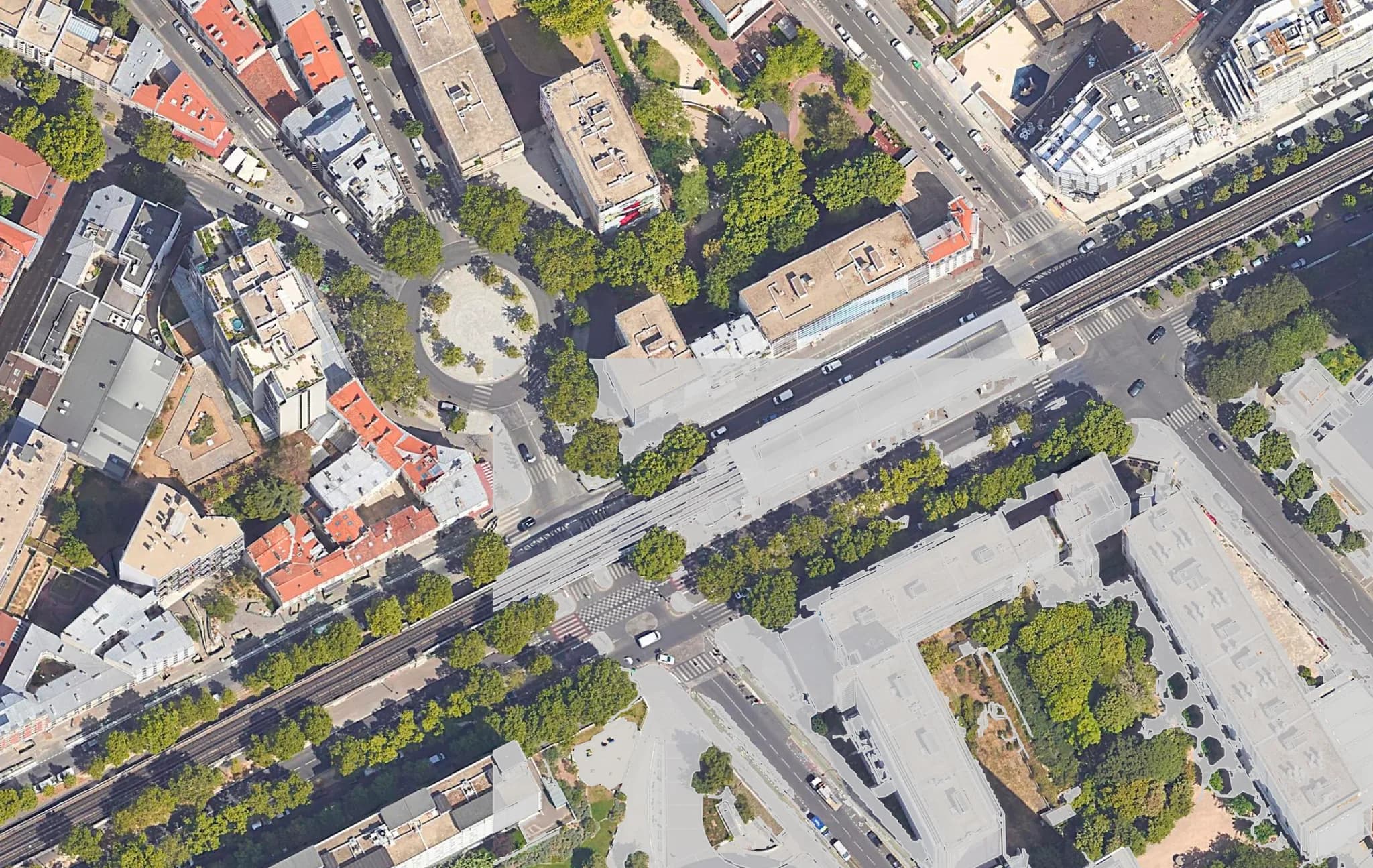
From raw ortho to presentation visual in one prompt: watercolor, site plan, 3D view. What you did in Photoshop, now right inside QGIS.
Super-resolution
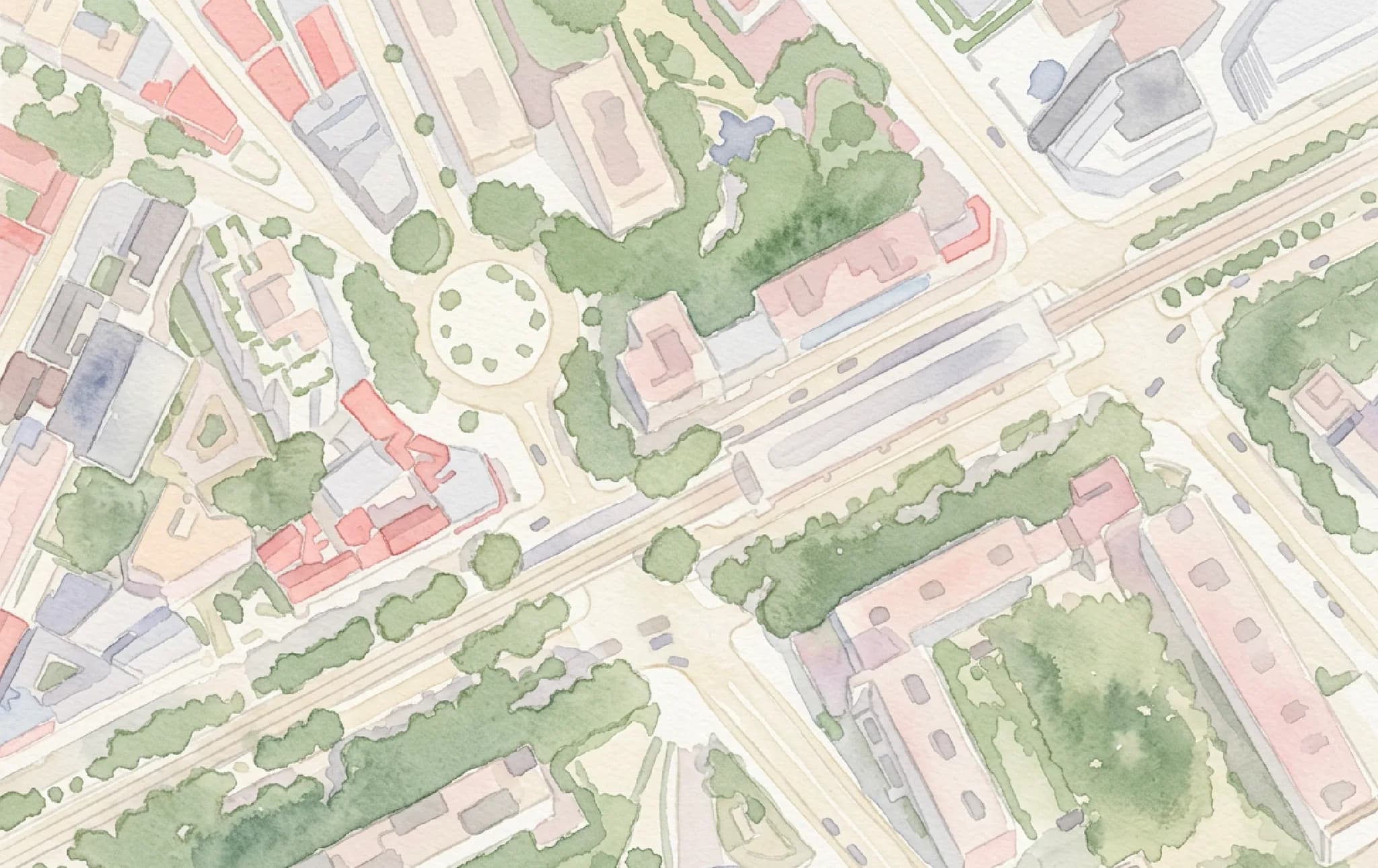
Watercolor
;)Install this plugin in
Launch QGIS on your computer
Navigate to Plugins → Manage and Install Plugins
Search for "AI Edit" and click Install

Pricing
Free
5 generations to try it. No credit card.
- 30+ prompt templates included
- Standard output quality
- 1 reference image or map layer
Pro
No commitment. Cancel anytime.
Everything in Free, plus:
- Standard, Detailed & Maximum output quality
- Up to 12 reference images & map layers
- 3 computers per seat
Enterprise
For teams and high-volume use.
- Multiple accounts for your team
- Custom volume pricing
- Centralized billing and onboarding
Set up with our team (not self-service yet).
- Computers
- Each seat works on up to 3 computers at once. A computer inactive for 30 days frees its slot automatically.
- Credits
- 3,000 per seat per month. A generation costs 20 credits at Standard (1K), 30 at Detailed (2K), 40 at Maximum (4K). Monthly reset, no rollover.
- Failed generations
- Refunded automatically within seconds.
- Cancellation
- Anytime, from your dashboard. Pro stays active until the end of the paid period.
- Invoices
- Included with every payment. Purchase orders and quotes: contact us.
- Support
- Email answered by the founders, on free and Pro alike.
Frequently asked questions
- AI Edit is a QGIS plugin that lets you edit aerial and drone images using AI. Describe what you want to change, and the AI modifies only that part of the image.
- Yes. You get 5 free generations (100 credits), lifetime (no monthly reset), with no credit card required. Install the plugin, create a free account, and start editing immediately.
- Yes, companies already run AI Edit Pro daily. Each seat is its own €29/mo subscription with its own account and 3 computers. For several seats, centralized billing or volume pricing, contact us.
- A generation covers the area you select, up to Maximum (4K). For big maps, run it section by section: every result is georeferenced, so the outputs align perfectly.
- Any RGB layer you can display in QGIS: drone orthomosaics, aerial photos, satellite basemaps, scanned historical maps. Multispectral and hyperspectral bands are not supported yet.
- Open QGIS, go to Plugins, search for "AI Edit" and click Install. No separate download needed. Works on Windows, macOS, and Linux.
- QGIS 3 or later and an internet connection. No GPU required, the AI runs 100% in the cloud. Works on Windows, macOS, and Linux.
- No, AI Edit is QGIS-only. QGIS is free and runs alongside ArcGIS, and the georeferenced outputs import anywhere as standard rasters.
- Update the plugin: in QGIS, go to Plugins, then Manage and Install Plugins, then Upgrade. Most reported errors are fixed within days. Still stuck, or never received your login code? Email us at yvann.barbot@terra-lab.ai, the founders answer.
- The selected area, its location, your prompt and reference images are processed and stored on secure servers in the European Union, which powers your generation history. Deletion on request, never shared with third parties. See our Privacy Policy.
- Yes, automatically. Every output carries tags embedded in the file itself: AI_GENERATED=TRUE, the note "Synthetic imagery, not survey data", plus the prompt and the date. They show up in QGIS (Properties > Metadata), in ArcGIS, and in any tool that reads file tags, so a generated image can never be mistaken for a real aerial survey. If the file ends up in a regulatory or client report, you can prove it was clearly labelled. This already meets the EU AI Act (article 50) machine-readable marking rule that becomes mandatory in August 2026.