Tell
what to do.
A chat panel docked in QGIS that works in the project you already have open, with your layers, CRS, selection and extent. It asks before a risky step, and every run has a checkpoint you can undo in one click.
Windows and macOS, QGIS 3.28 or later. No API key to paste. 10 free messages a month.
AI Agent is not released yet. This page describes what ships. The plugin is not on plugins.qgis.org and the TerraLab plugin repository is not published yet, so it cannot be installed today and no plan is on sale.
Before you install
AI Agent is a QGIS plugin that docks a chat panel next to your layer list.
You write a task in plain language and it carries it out in the project you have open. It loads data, runs Processing algorithms, styles and labels layers, reads fields and features, edits geometry and builds print layouts. It knows your layers, fields, CRS, selection and current extent, it asks before a destructive step, and each run leaves a checkpoint you can restore.
- Runs in
- QGIS 3.28 and later
- Runs on
- Windows, macOS
- Starts at
- Free, 10 messages a month
One sentence
One sentence. The layers land in your project.
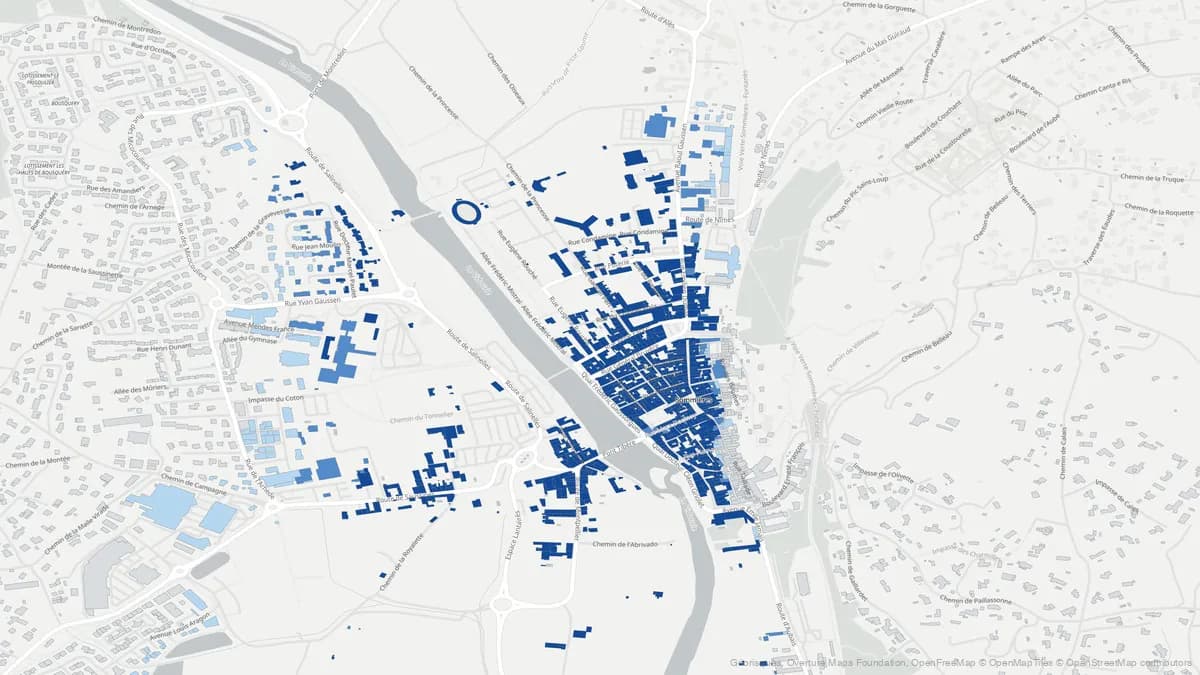
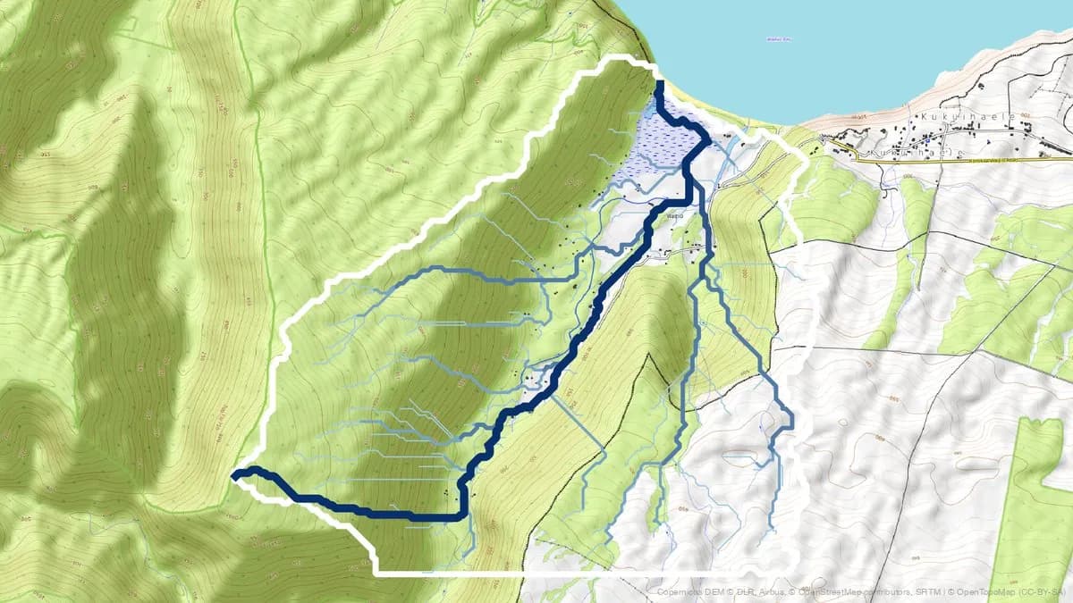
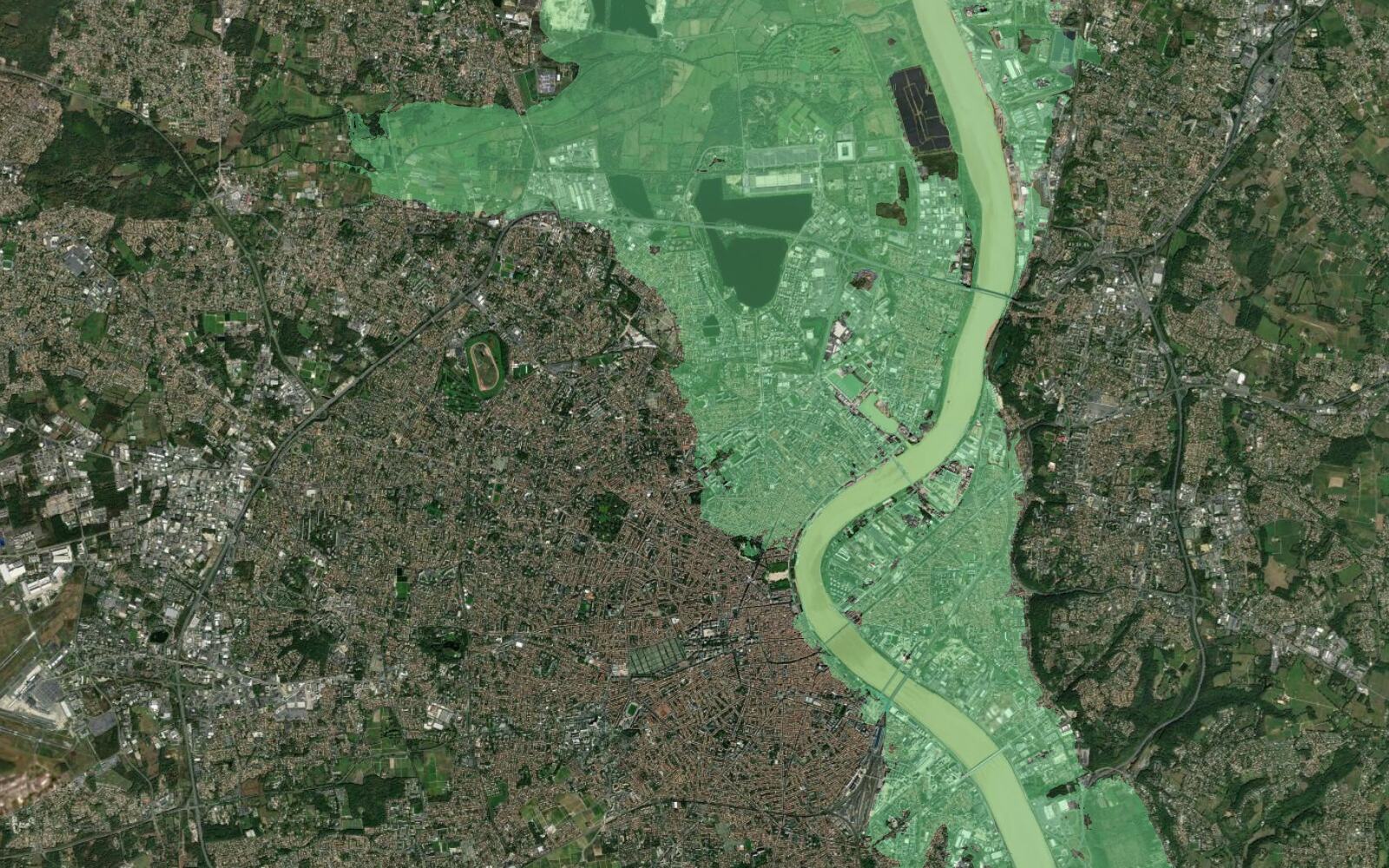
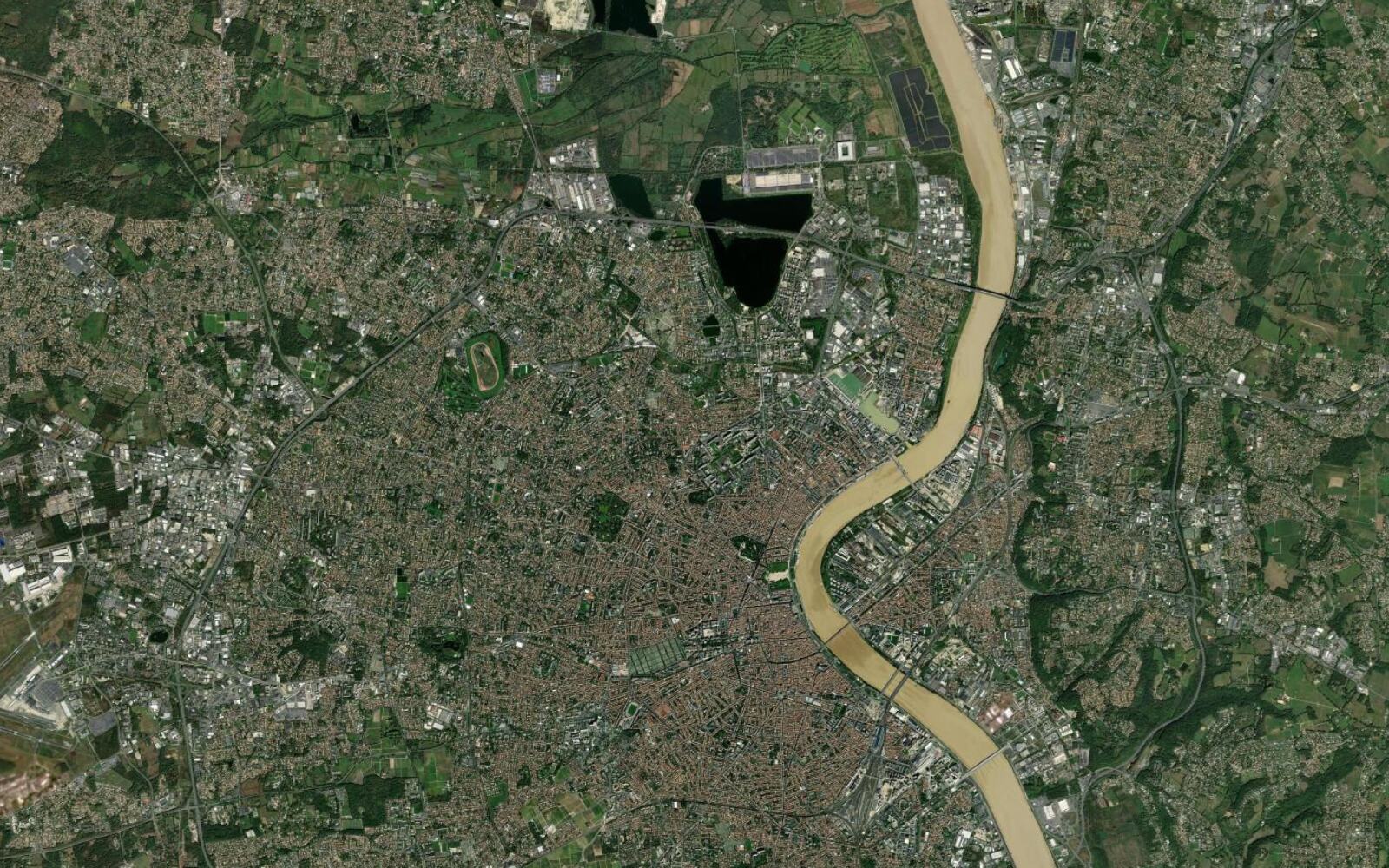
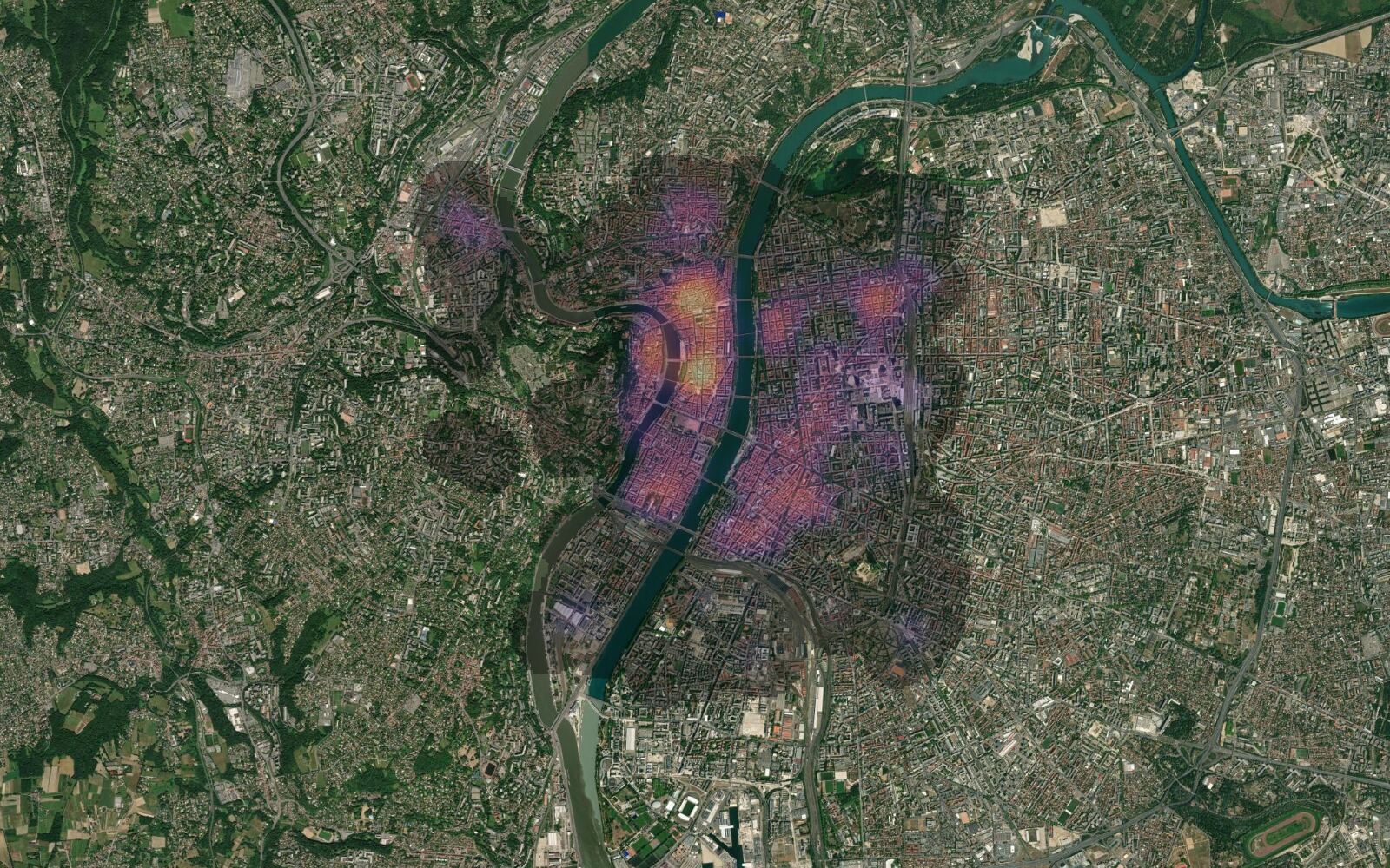
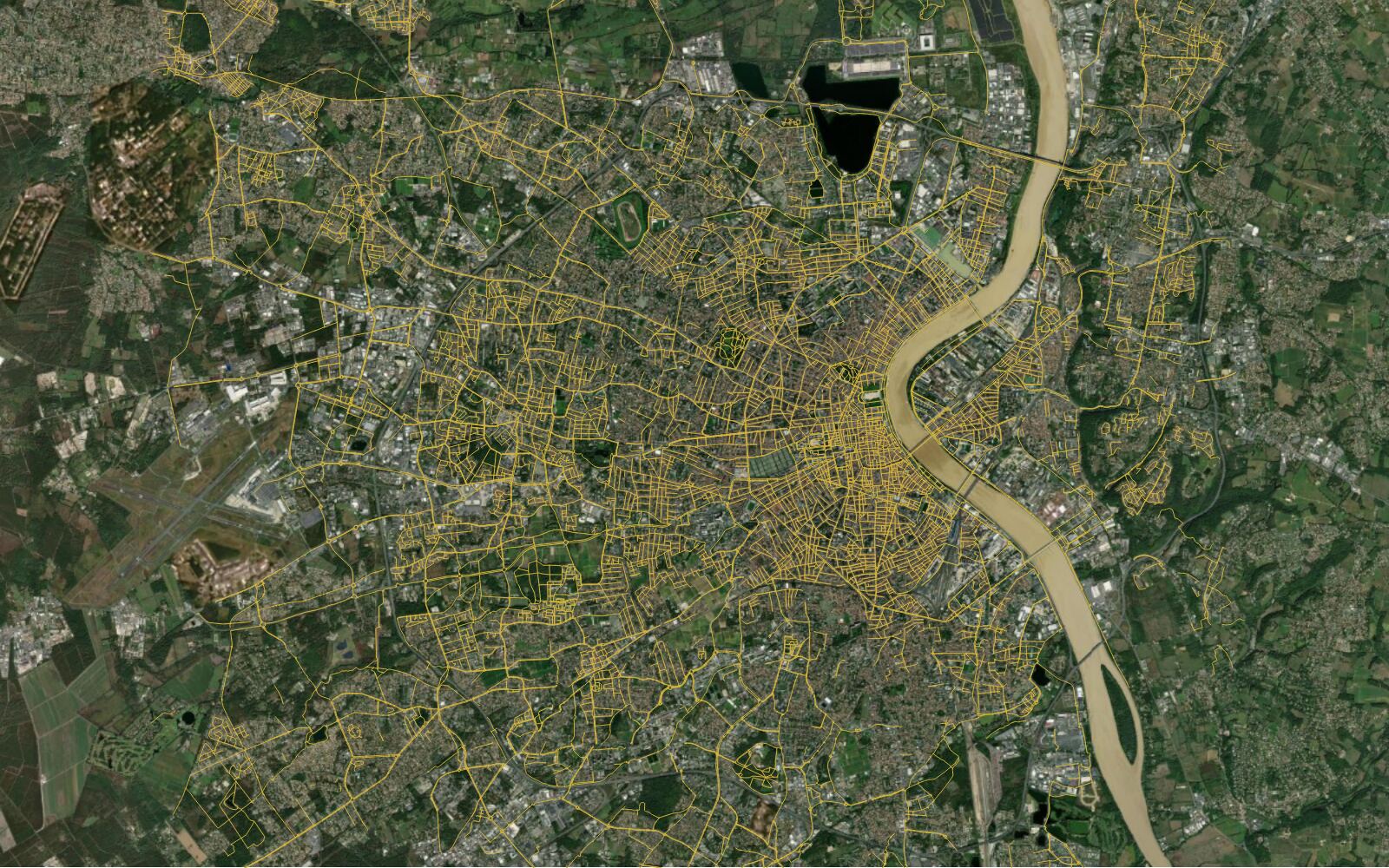
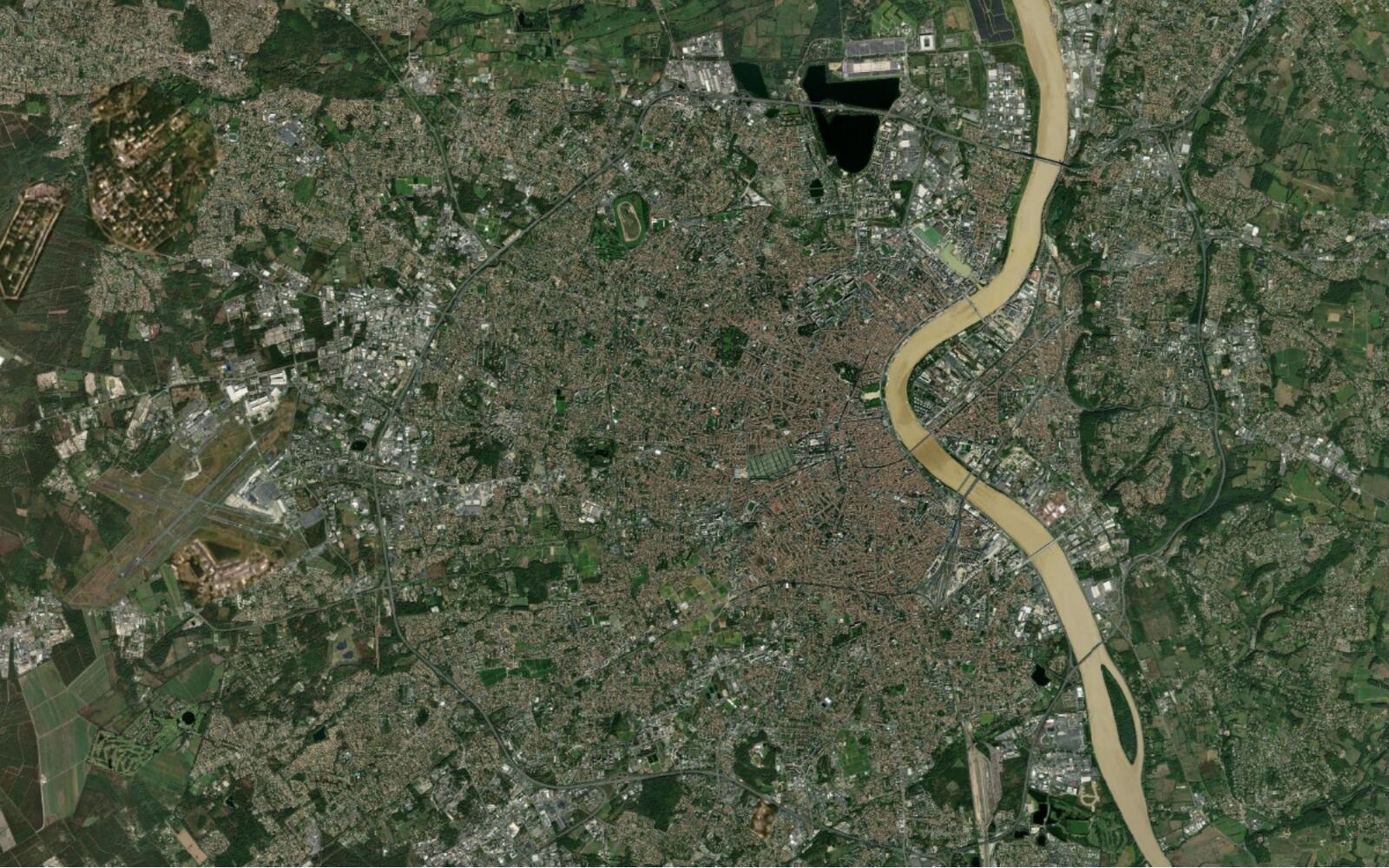
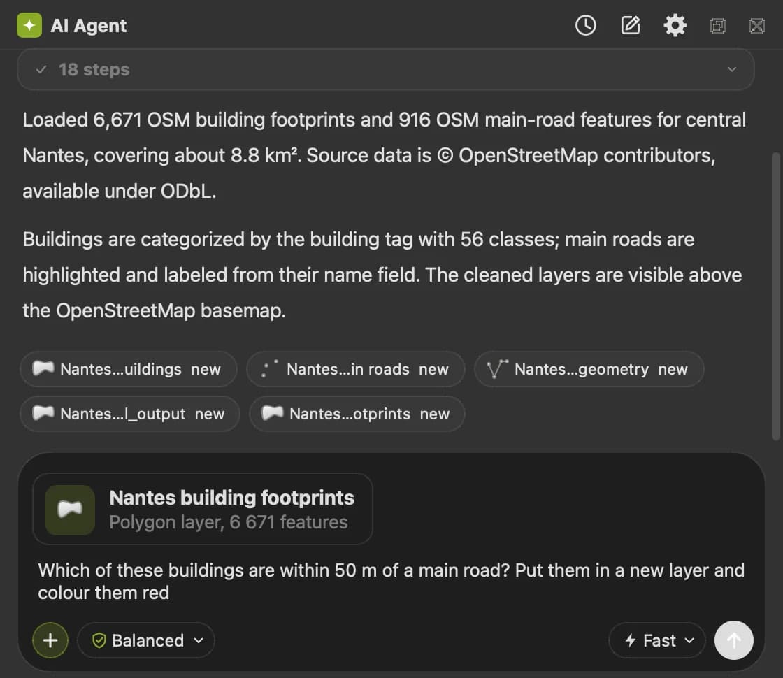
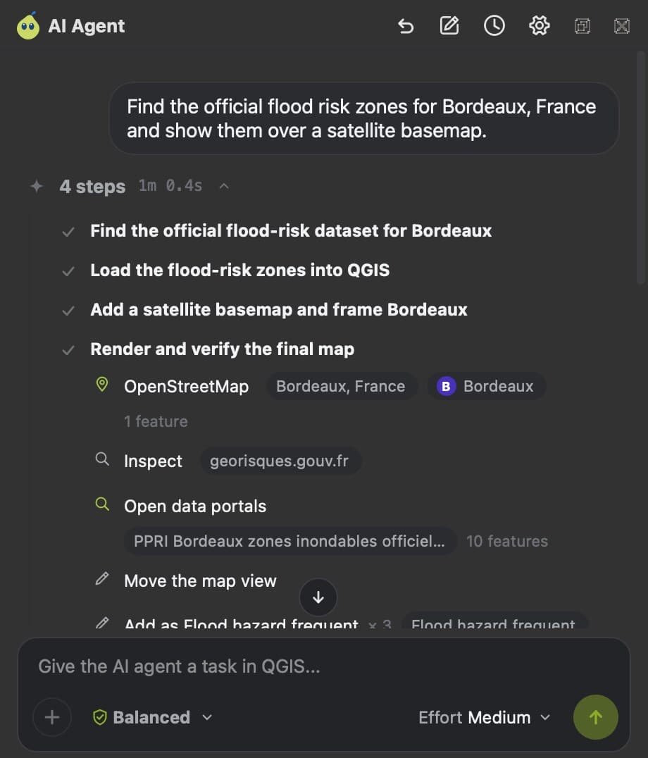
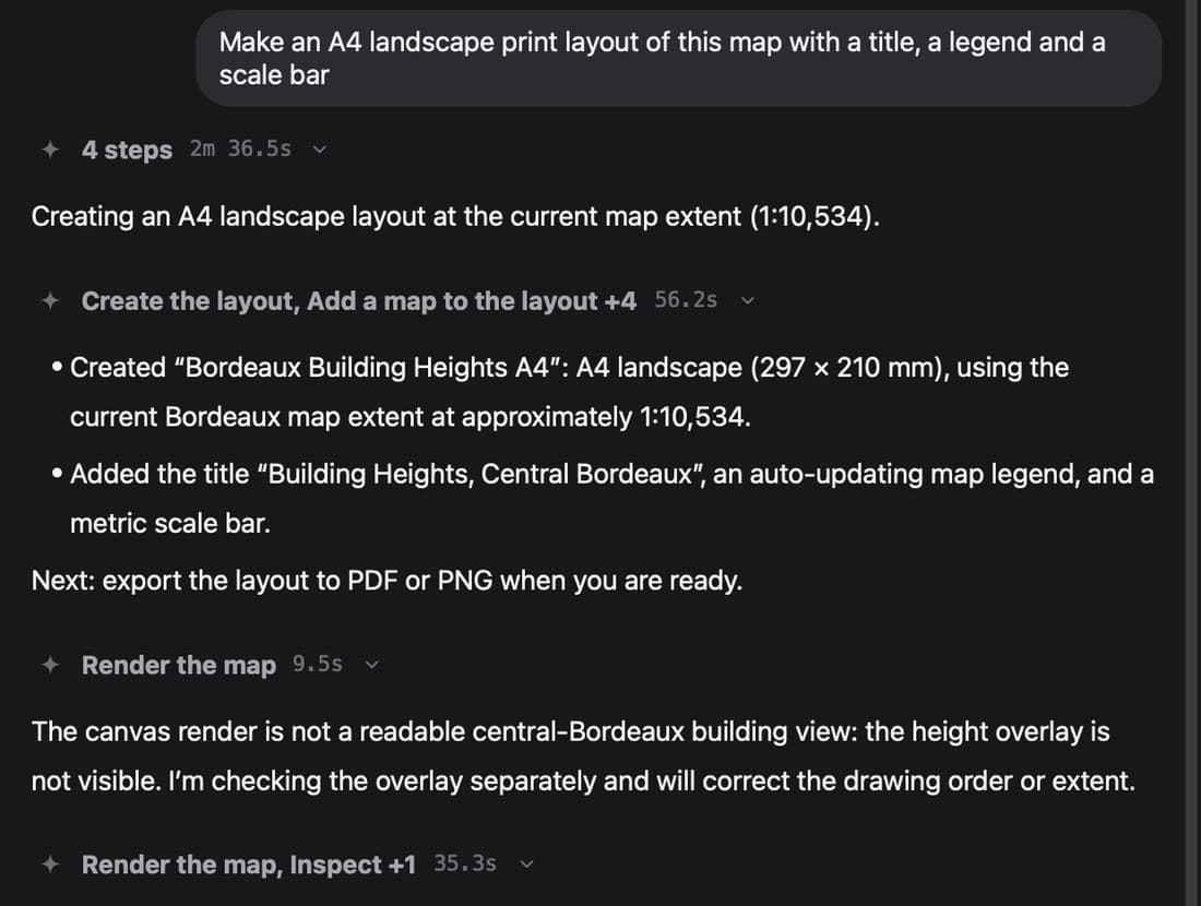
Two runs, taken in QGIS. The panel does the clicking, the result stays in your project.
Load the buildings and main roads of central Nantes from OpenStreetMap, style buildings by their building tag and label the main roads.
After
BeforeWhich of these buildings are within 50 m of a main road? Put them in a new layer and colour them red.
After
BeforeHow a run works
From your sentence to layers in the project.
One message that reaches the model is one run, whatever it takes to finish it.
Your sentence
Typed in the panel, in any language
Agent plans
Hosted in the EU
QGIS tools
Processing, styling, layouts, editing
218 tools
Your project
Layers added, styled, saved
LayersStylesFieldsLayouts
Checkpoint
Undo the whole run
- One run is one sentence
- A task that takes 60 QGIS steps still counts as one run. A run that fails before the agent produces anything is refunded.
- Instant, or more effort when it matters
- Instant starts working at once. Medium and High plan the work, check the results and research what they do not know, and take over on their own after two failed steps.
- Every run has a checkpoint
- The panel writes a checkpoint before and after each run. One click puts the project back where it was.
Context
It knows your project.
You do not describe your data before you can ask for anything. The panel reads the open project: layer names, geometry types, CRS, field names, extents and what is selected right now.
- Context chips
- Attach a layer, the selection, the current extent, a field, a print layout, a file or a data source. The chip goes into the message, so "clip it to this" means something.
- Mentions and drag
- Type @ to search your layers, or drag a layer from the layer list straight into the composer.
- Threads per project
- Each QGIS project keeps its own threads, so yesterday's work is still there when you reopen the project.
- 25 example jobs
- Five groups: explore, map, analyse, terrain and share. Open one and edit it rather than starting from a blank line. Ctrl+K opens the QGIS locator with the same search.


Data
The data comes to you.
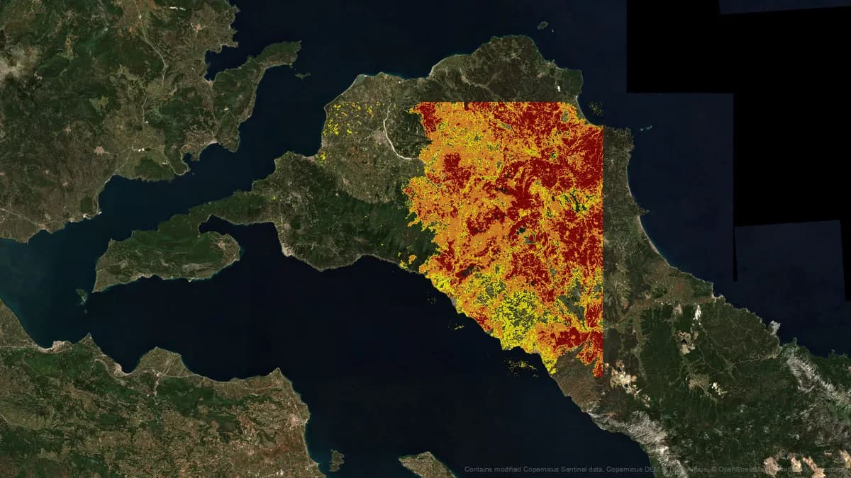
Ask for buildings, elevation, land cover or population for an area and the agent finds the source, downloads the right extent and loads it in your CRS. 39 connectors, 17 of them national mapping agencies.
Worldwide
- OpenStreetMap
- Overture
- Natural Earth
- OpenFreeMap
- Esri
- Carto
- OpenPlanetaryMap
National mapping agencies
- IGNFR
- IGNES
- BKGDE
- PDOKNL
- swisstopoCH
- Ordnance SurveyGB
- KartverketNO
- DGTPT
- basemap.atAT
- NGIBE
- PCNIT
- GSIJP
- IBGEBR
- BhuvanIN
- USGSUS
- Geoscience AustraliaAU
- NRCanCA
- Eurostat GISCOEU
Satellite and imagery
- Sentinel-2
- Landsat
- Copernicus DEM
- ESA WorldCover
- NASA GIBS
- NASA Earthdata
- CORINE
- Urban Atlas
- OpenAerialMap
Terrain and climate
- GEBCO
- SRTM
- HydroRIVERS
- WorldClim
- Open-Meteo
Nature
- GBIF
- iNaturalist
- WDPA
- Natura 2000
- Hansen forest change
People and places
- WorldPop
- GADM
- geoBoundaries
- Microsoft buildings
- Google buildings
- OurAirports
- OpenSky
Open data portals
- data.gouv.fr
- data.gov.uk
- NYC Open Data
- CKAN
- Socrata
- OpenDataSoft

Every source is loaded with its licence and its attribution.
Ecosystem
One panel, the whole QGIS bench.
AI Agent is the entry point. It drives what is already installed, and the two paid TerraLab plugins keep their own credits: spending one always shows a permission card first.

AI Agent
39 QGIS plugins
QuickOSM, DataPlotly, ORS Tools, qgis2web, Qgis2threejs, QuickMapServices and more, driven through their own Processing providers.
38 analysis recipes
Checked chains of algorithms for the jobs people ask for most, so a long task follows a known path.
AI Edit and AI Segmentation stay separate subscriptions. The agent fills their dialogs, it never spends a credit without asking.
Control
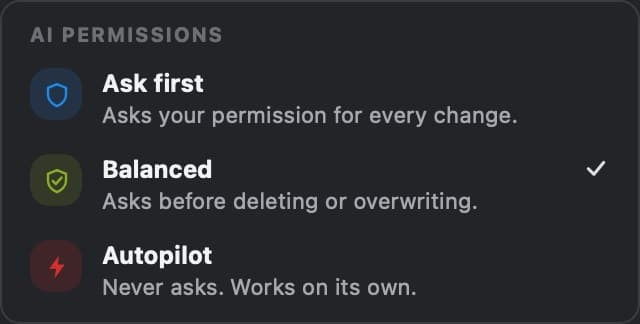
It asks before it breaks anything.
Danger is a property of the tool, never a judgement call by the model. Reading is never blocked, deleting always is.
- 1
Ask first
Nothing changes in the project until you approve that exact step.
- 2
Balanced
The default. Loading, reading and styling go ahead. Deleting, overwriting and spending credits wait for you.
- 3
Autopilot
ProThe agent works through the task on its own and still stops before credits and before code.
The permission card
Every stop shows what the step will do, on which layer, with which parameters. Allow it, deny it, or edit the values before it runs.

Checkpoint and undo
Before run 3, after run 3. The panel keeps both and one click restores either, so a run you did not like costs you nothing.

Guards that do not move
- A distance given in degrees on a geographic CRS is refused, with the metric CRS to use instead.
- Code that reaches the shell, the network or your credentials is refused, whatever the permission level.
What leaves your machine
The request, the project CRS, extent and scale, layer names, types and field names, one sample row of the active layer, recent Processing runs and anything you attach. Never your raster or vector files, never the project file, never whole tables. The service is hosted in the EU.
Read the security pageEffort
You decide how hard it works.
One slider in the composer, right before Send. It names an outcome, not a model, and the panel never asks for an API key.

Instant
Starts working as fast as possible. Best for a quick edit or a question. Does not plan and does not research.
- On every plan, and the only level on Free
- Runs up to 30 steps
Medium and High
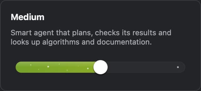
Medium plans the work, checks its own results and looks up algorithms and documentation. High plans every run and takes more direction of its own on a hard task.
- Pro only
- Escalates on its own after two failed steps
- Runs up to 60 steps, and 90 on High
Three steps to your first run in 
No Python console and no API key to paste.
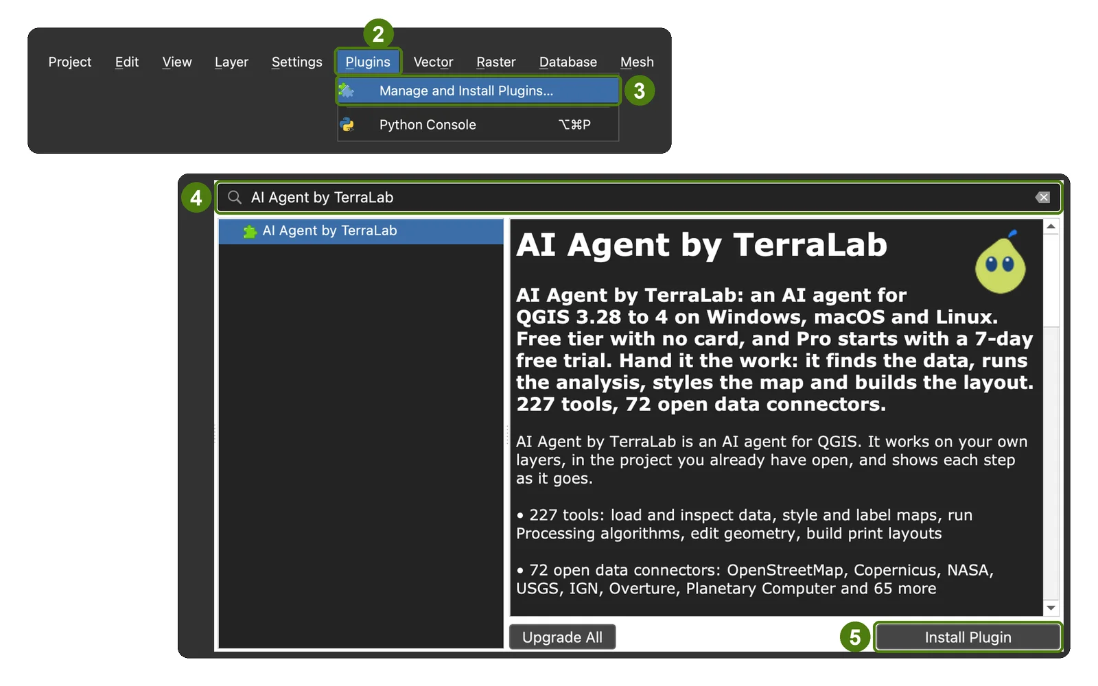
In QGIS, add https://terra-lab.ai/plugins.xml as a plugin repository, then install AI Agent by TerraLab.
Open the panel with Ctrl+Alt+A and sign in. The account links itself, and your free messages are there.
Type a task. Keep the result, or undo the run from its checkpoint.
These three steps work the day the plugin is released. The repository in step 1 does not answer yet.
Right-click a layer or the map and pick Ask AI Agent about this layer to send that layer, selection or view without describing it again.
Plans
Free is there to try it on a real project. Pro is there for the weeks when the agent does the work.
Om het uit te proberen
Free
No credit card.
- 10 messages a month, renewed every month
- Every QGIS tool, all 39 connectors and the QGIS plugins you have installed
- Instant effort, the level that starts working at once
- Permissions, checkpoints and undo
- Runs up to 30 steps
- Niet inbegrepen:Commercial use
Voor jou, persoonlijk
Pro
For the weeks the agent does the work.
€490 billed yearly · Save €98
Everything in Free, plus:
- 250 messages a month
- Medium and High effort: it plans the work, checks its results and researches what it does not know
- Autopilot, for runs that do not stop to ask
- Memory, custom instructions and working preferences
- Runs up to 60 steps, and 90 on High
- Private tier: no transcript, no prompt and no result kept, and nothing of yours feeds model improvement
- Commercial use
- Cancel anytime
Pro opens the day the plugin is released.
Voor je organisatie
Organisatie
Factuur, inkooporder, bankoverschrijving
- More than 250 messages a month
- Zero data retention
- Gedeelde toegang voor meerdere personen
- Commercieel gebruik voor het hele team
Prijzen excl. btw. Belasting wordt bij het afrekenen berekend.
Questions people ask before installing
- A QGIS plugin that docks a chat panel next to your layer list. You write a task in plain language and it carries it out in the project you have open, with your layers, CRS, selection and extent.
- AI Agent is not on plugins.qgis.org yet. In QGIS, add https://terra-lab.ai/plugins.xml as a plugin repository, install AI Agent by TerraLab, then open the panel with Ctrl+Alt+A and sign in.
- 10 messages a month, renewed every month on the date the account was created. Every QGIS tool, every connector, every QGIS plugin you have installed, permissions, checkpoints, undo and context chips are all included. Runs go on Instant effort. Free is for personal use.
- 250 messages a month, the Medium and High effort levels, Autopilot, memory and custom instructions, runs up to 60 steps, the private tier and commercial use. Nothing QGIS gives you is behind it: the 39 connectors, the 39 third-party plugins and every QGIS tool are on Free too.
- No. Sign in with a TerraLab account and the plugin handles the connection. There is nothing to paste and nothing to top up with a third party.
- The request, the project CRS, extent and scale, layer names, geometry types, field names and extents, one sample row of the active layer, recent Processing runs, and anything you attach. Raster and vector file contents, the project file, geometries and whole tables stay on your machine. The service is hosted in the EU.
- Each tool is classed as read, write or destructive, and the permission level decides which of them stop for approval. The default asks before deleting, overwriting or spending credits. Every run leaves a checkpoint, and one click restores the project to the state before it.
- Only after a permission card that names the plugin and the action, at every permission level. Those two plugins keep their own subscriptions, and the agent never buys anything on your behalf.
- Not yet. AI Agent runs on Windows and macOS with QGIS 3.28 or later, and it is ready for Qt6.
- It knows how to drive 39 third-party QGIS plugins through their Processing providers, among them QuickOSM, DataPlotly, ORS Tools, qgis2web, Qgis2threejs and QuickMapServices. They are on every plan, Free included.
- It does the work in the open project with the 218 QGIS tools first. When a step has no algorithm for it, it can run PyQGIS, and that always stops for approval: code touching the shell, the network or your credentials is refused at every permission level.
Your data
A run sends your request and a description of the project (layer names, fields, counts, extent, CRS) to our servers in the EU; your files and layers stay on your computer unless you attach one.
On Free the conversation is kept 90 days so you can reopen a thread and undo a run; on Pro no transcript is stored, the run keeps its summary and its counters only.
The model runs on our own Azure resource in the European data zone and does not train on your data; export or delete everything from the Account section of your dashboard.
Give QGIS a sentence.
Install the plugin, sign in, and let the first run land in the project you already have open.
10 free messages a month, no card.