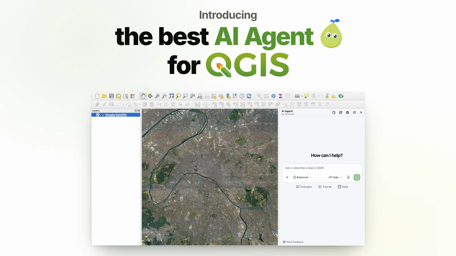
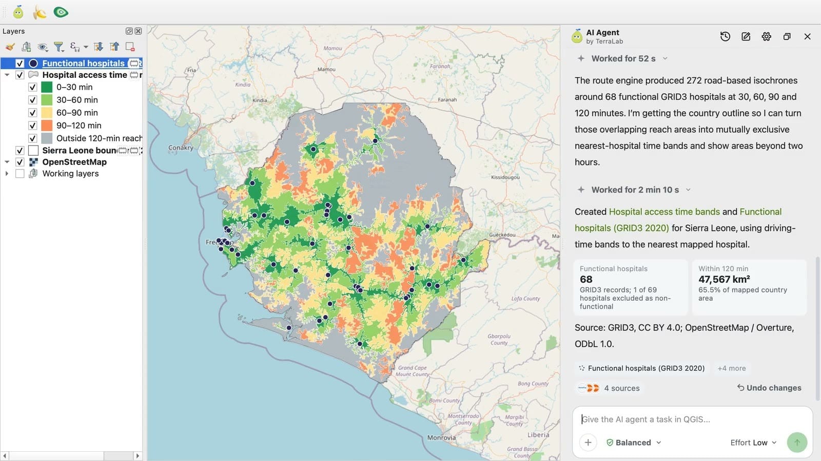
AI Edit demo: a 4-class land use map from an orthophoto
Length 0:57Published September 27, 2026
0:00 / 0:00
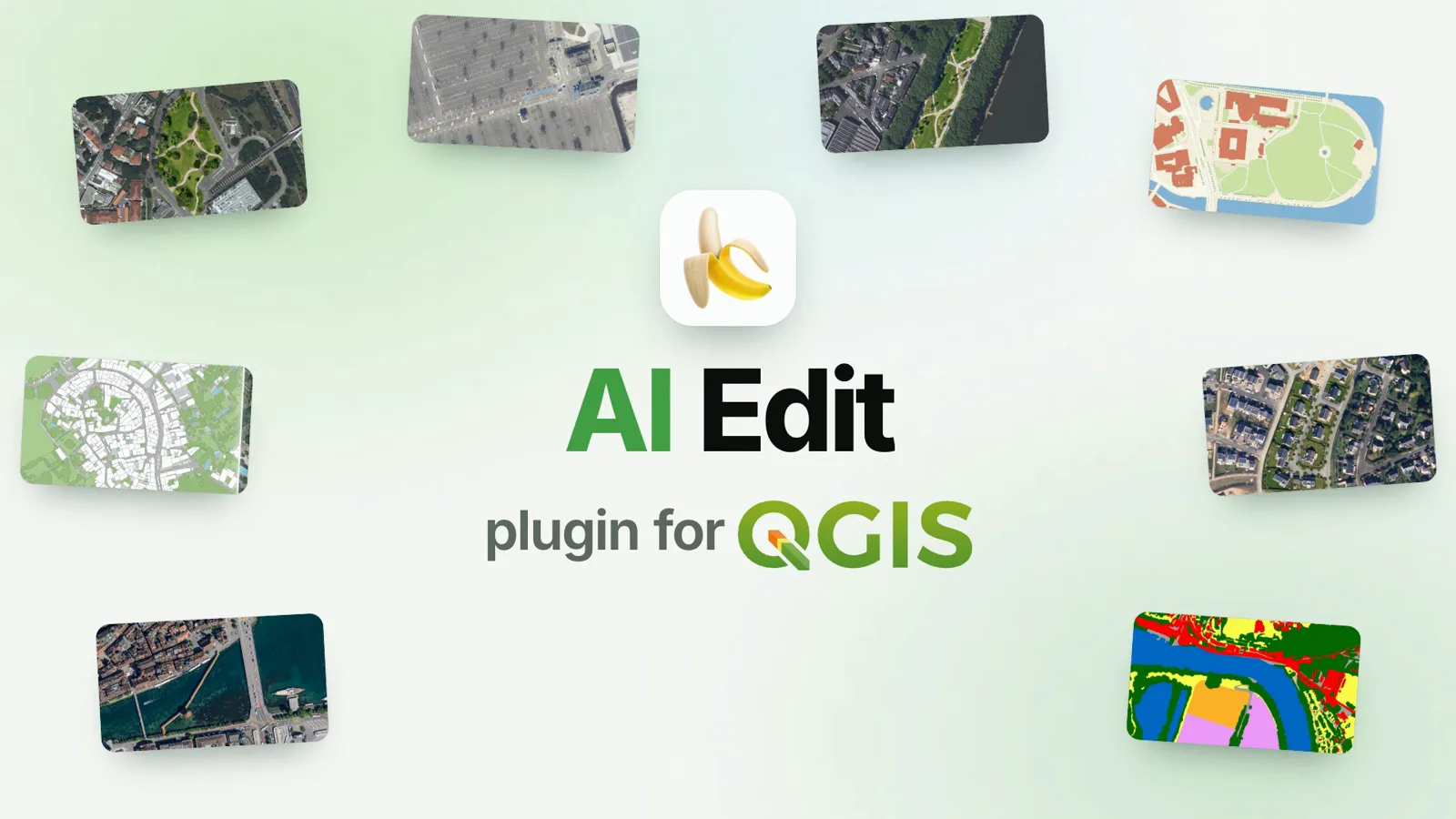
TerraLab AI Edit QGIS plugin demo. Buildings, roads, vegetation and water generated from an orthophoto with one prompt, then turned into editable polygons with Vectorize.
Key moments
- 0:03Change a map with a sentence: infill housing, cars erased
- 0:09Describe it, sketch where it goes, show a reference
- 0:18Refine the same image, version after version
- 0:24In QGIS: select an area, describe the change, compare before and after
- 0:33Turn a generated map into polygons with Vectorize
- 0:39Borrow a style from any image, or start from 60+ ready-made prompts
- 0:51Install it from the QGIS Plugin Manager
Try AI Edit in QGIS
The plugin in this video installs from the QGIS plugin manager. Its page covers what it does, the plans and how to get started.
See AI Edit