


AI Segmentation for QGIS
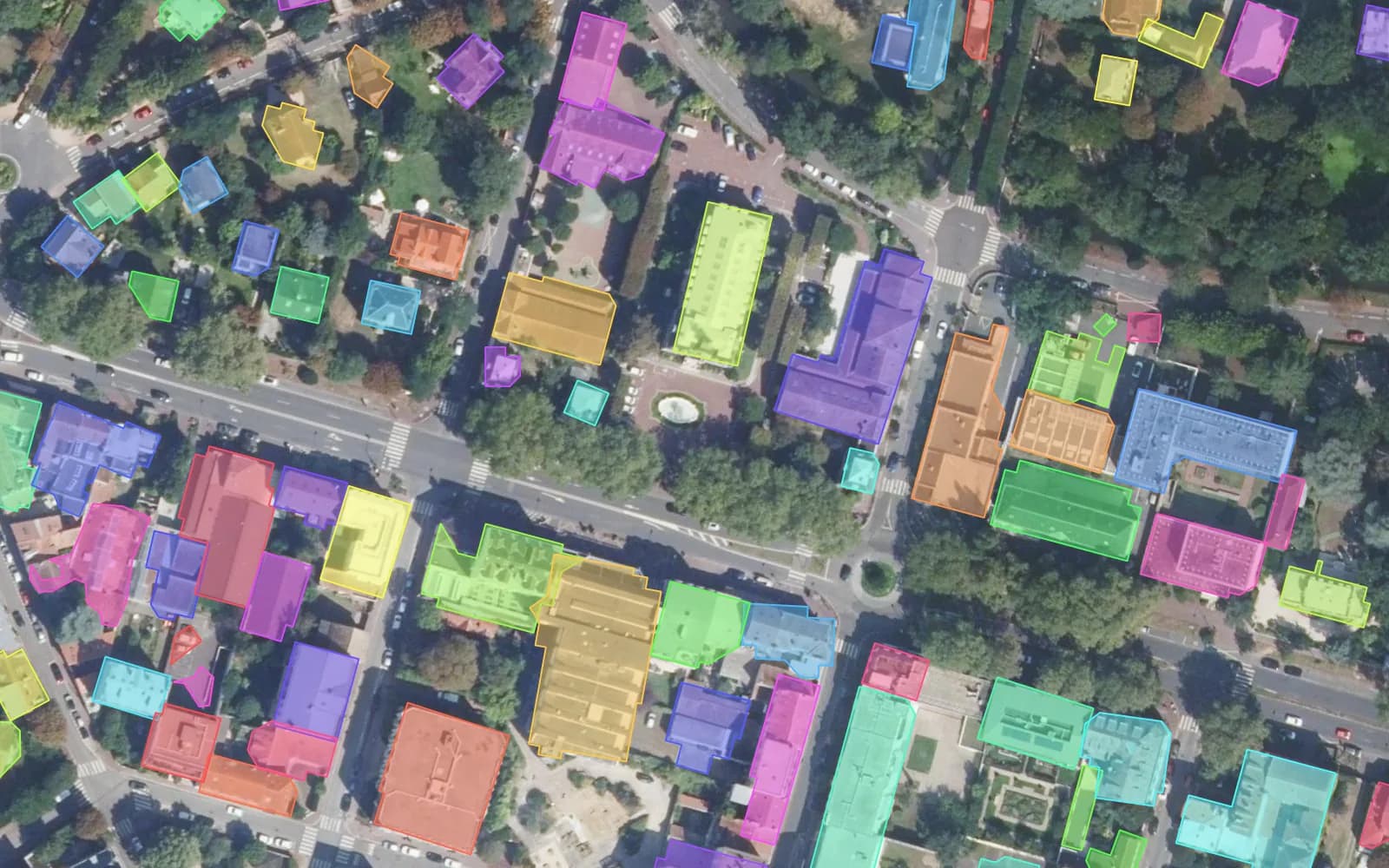
Stop tracing by hand: AI Segmentation outlines buildings, fields and roads from your imagery in QGIS.
Free plan, no credit card.
Frequently asked questions
How do I make a KML file?
Draw your points, lines or areas here, name them, choose KML and press Download. The file opens in Google Earth, Google My Maps, QGIS and any GIS.
How do I measure the area I drew?
Each area shows its size next to its name as you draw, in square metres, hectares or square kilometres, and each line its length. The values are measured on the Earth's ellipsoid and saved in the file as area_m2 and length_m.
Can I open the file in Google Earth or QGIS?
Yes. KML and KMZ open in Google Earth; GeoJSON, Shapefile, GPX and CSV open in QGIS, ArcGIS and most GIS tools. A Shapefile download holds one layer per geometry type, since a shapefile holds only one.
Are my drawings uploaded?
No. Drawing, naming and exporting happen in your browser and nothing is sent to a server. A copied link carries the drawing itself, so anyone with the link sees it.
About this tool
Draw points, lines, areas and rectangles on a map, give each one a name and read its length or area as you draw. Click a shape to move it or drag its corners; new corners snap to the corners of your other shapes. Open a KML, KMZ, GeoJSON, Shapefile, GPX or CSV file to edit it, then download your drawing as KML for Google Earth, KMZ, GeoJSON, Shapefile, GPX or CSV, ready for any GIS. No account is needed and nothing is uploaded: the drawing stays in your browser, which keeps it for your next visit, and a small drawing can be shared as a link.
How it works
- Pick Point, Line, Area or Box and click the map, or open a file you already have.
- Name each shape and read its length or area; select a shape to move it or drag its corners.
- Download the drawing as KML, KMZ, GeoJSON, Shapefile, GPX or CSV, or copy a link.
Where your drawing goes
Nowhere: shapes, names and files stay in your browser, which keeps the last drawing for your next visit. Lengths and areas are measured on the ellipsoid, like the area calculator. Files are written in WGS 84 longitude and latitude.