
Map area calculator
Search an address, click the corners of a field, a plot or a roof, and read its area and perimeter at once.
Area
Click the corners of a field, a plot or a roof on the map. Click the first corner again to close the shape.
Click the map to start a shape. Click a shape to move its corners.
Roof area
Pick the pitch of a sloped roof to turn the footprint into the roof surface.
Type coordinates or paste a shape
One latitude, longitude pair per line. Or drop a KML, KMZ, GeoJSON or zipped Shapefile on the page.
Download
Source: Sentinel-2 2021 cloud-free mosaic, 10 m


AI Segmentation for QGIS
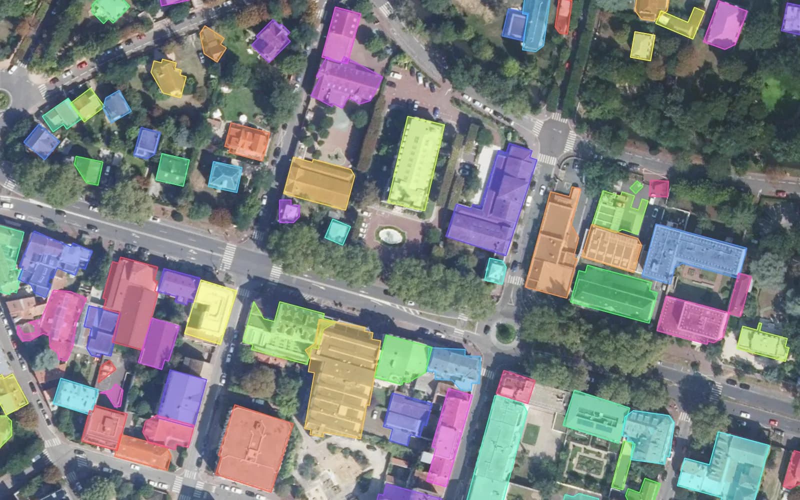
Drawing outlines one by one? AI Segmentation finds every roof, field or parcel on your imagery in QGIS and returns them as polygons with their area.
Free plan, no credit card.
Guide
About this tool
This tool measures the area of any shape you draw on a map: a field, a building plot, a lawn, a roof, a lake. Search an address, click each corner on the aerial imagery and the area appears in square metres, hectares, square kilometres, square feet, acres and square miles, with the perimeter. Add several shapes for a total, cut out a courtyard, set a roof pitch to get the sloped roof area, and download the outlines as KML, GeoJSON, Shapefile or CSV.
Area on the WGS84 ellipsoid · m², ha, km², ft², acres, mi² · KML, GeoJSON, Shapefile, CSV, PNG · no account
How to measure an area on a map
- Search the address or the place, and zoom in until you can see the edges you want to measure.
- Click each corner along the edge. Click the first corner again, press Enter or double click to close the shape. The area and the perimeter update with every click.
- Click a shape to move its corners: drag a white corner, drag a yellow midpoint to add one, right click a corner to remove it. Undo with Ctrl+Z.
- Draw more shapes for a total, or select a shape and use Cut a hole to subtract a courtyard or a pond. Download the result or copy the link to reopen it later.
How accurate the area is
The area is computed on the WGS84 ellipsoid, the shape of the Earth GPS uses, so it stays exact at any latitude: a 105 by 68 m football pitch reads 7,140 m² at the equator and in Oslo alike. What limits the result is where you click. On 20 cm aerial photos a careful outline of a house lands within about 1 to 2%. On 10 m satellite pictures, small shapes can be off by much more.
Imagery used: IGN BD ORTHO aerial photos at 20 cm in France (Licence Ouverte 2.0), USGS The National Map orthoimagery in the 48 contiguous US states (USDA NAIP, public domain, refreshed June 2024, sharp to about 2 m on this map), and the Sentinel-2 2021 cloud-free mosaic at 10 m everywhere else (CC BY 4.0). Switch to Map to trace OpenStreetMap building outlines where the imagery is coarse.
Roof area from the footprint and the pitch
From above you only see the footprint of a roof. A pitched roof is larger than its footprint: roof area = footprint ÷ cos(pitch). At 15° that is × 1.035, at 30° × 1.155, at 45° × 1.414. A pitch given as rise over run works too: 6/12 is 26.6°, so × 1.118. Trace the outer edge of the roof including the eaves, and measure planes with different pitches as separate shapes.
Units and conversions
1 hectare = 10,000 m². 1 km² = 100 hectares. 1 acre = 43,560 ft² = 4,046.86 m², about a square of 63.6 m (208.7 ft) a side. 1 square mile = 640 acres = 2.59 km². The tool remembers the unit you pick on this device.
Measure shapes you already have
Drop a KML, KMZ, GeoJSON or zipped Shapefile anywhere on the page, or paste coordinates (one latitude, longitude pair per line), WKT or GeoJSON in the box. Every polygon becomes a shape with its area. Files are read in your browser; nothing is uploaded.
Measure many shapes in QGIS
In QGIS, the Measure Area tool gives the area of one shape, and the field calculator writes $area into every polygon of a layer once an ellipsoid is set in the project properties. To get the outlines in the first place, AI Segmentation, our QGIS plugin, detects every roof, field or parcel on your imagery and returns them as polygons with their area.
Limits
- Up to 200 shapes and 20,000 corners at once.
- A shape whose edges cross itself has no meaningful area: the tool refuses to close it.
- Imagery dates differ by place, and tall buildings lean in aerial photos: trace a roof where it meets its walls when you can see them.
Frequently asked questions
How accurate is a map area calculator?
The calculation itself is exact to well under 0.1%: the area is computed on the WGS84 ellipsoid, not on a flat projection, so a 105 by 68 m football pitch reads 7,140 m² near the equator and near the poles. The error comes from the outline. On 20 cm aerial photos a careful outline of a building is within about 1 to 2%; on 10 m satellite images small shapes can be off by 10% or more. Zoom in as far as the imagery stays sharp before you click.
How do I measure an acre on a map?
Search the place, click the corners of the plot and pick ac as the unit: the area shows in acres, with square feet next to it. One acre is 43,560 square feet or 4,046.86 m², about a square of 208.7 ft (63.6 m) a side. A plot that measures 0.5 ac is 21,780 square feet.
How do I measure a roof from satellite imagery?
Search the address, zoom in on the house and click the corners of the roof outline, eaves included. That gives the footprint. Then set the roof pitch (15°, 30°, 45° or your own, in degrees or as 6/12): the tool divides the footprint by the cosine of the pitch to give the sloped roof area and shows the formula. Measure roof planes with different pitches as separate shapes and add them up.
How do I measure an area in Google Earth?
In Google Earth on the web, open the Measure tool (the ruler icon), click the corners and click the first point again to close the shape: it shows the area and the perimeter. In Google Earth Pro on the desktop, draw a polygon with Add, Polygon and read the Measurements tab. Shapes measured here download as KML, which opens in both.
How do I calculate the area of polygons in QGIS?
Set an ellipsoid in Project, Properties, General (WGS 84 works everywhere), then use the Measure Area tool for a single shape, or open the field calculator and write $area into a new field to fill the area of every polygon. If the polygons do not exist yet, AI Segmentation, our QGIS plugin, outlines roofs, fields and parcels from the imagery for you.