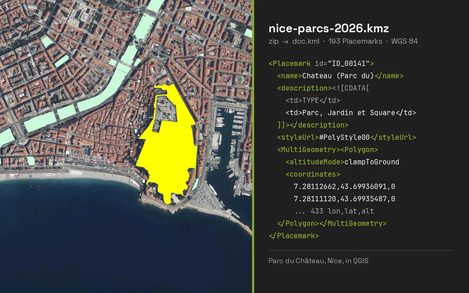
Convert KMZ to DXF (and DWG) for AutoCAD
Drop a Google Earth KMZ and download a DXF that opens in AutoCAD, ready to save as DWG.
- Add your file
- Check it on the map and in the table
- Download the converted file
Nothing is uploadedFiles up to 250 MB


AI Agent for QGIS
Skip the converter next time: ask AI Agent in QGIS to convert, reproject and load your files, whatever their size.
Free plan, no credit card.
Frequently asked questions
How do I convert KMZ to DXF?
Drop the .kmz on this page, check the coordinate system it picked, and download the DXF. There is nothing to unzip first.
How do I convert KMZ to DWG?
Convert the KMZ to DXF here, then open the DXF in AutoCAD and use Save As, DWG. BricsCAD and DraftSight do the same. The drawing, layers and coordinates stay as they are.
Which coordinate system is the DXF in?
By default the WGS 84 UTM zone of your data, shown on the page after the conversion with its EPSG code. Pick any other system under Output coordinate system, for example a State Plane zone in US survey feet. A DXF has no field for the system, so set that EPSG code in Civil 3D, Map 3D or QGIS if you need the drawing georeferenced.
Why are my Google Earth folders separate layers?
Because each KML folder becomes its own DXF layer, so you can freeze, colour or delete a whole folder in CAD. Nested folders are joined, and names are cut to the 31 characters the DXF version allows.
Show all 6 questions
Does my KMZ get uploaded?
No. The DXF is written in your browser tab. Nothing is sent to a server.
Will the drawing line up with my survey?
Yes, if both are in the same system. Pick your project's system under Output coordinate system before you download, for example the State Plane zone in US survey feet or the SIRGAS 2000 UTM zone, and the coordinates match.
About this tool
Drop a Google Earth KMZ and download a DXF that opens in AutoCAD, ready to save as DWG. It is drawn in your UTM zone or the system you pick, and the file never leaves your browser.
How the conversion works
- Choose a .kmz file or drop it here. No need to unzip it: the KML inside is read directly.
- Every Placemark is projected from latitude and longitude to the UTM zone of your data, or to the system you pick. Each KML folder becomes a DXF layer, and each Placemark name a text label.
- Download the .dxf and open it in your CAD program. For a DWG, open it in AutoCAD and use Save As.
What the DXF contains
One drawing, one layer per folder of the KMZ, in a projected system.
| In the DXF | What it holds |
|---|---|
| Layers | One per KML folder in the KMZ, named after it: "Parcelas / Lote 1" becomes PARCELAS_LOTE_1. Placemarks outside any folder go on a layer named after the file. |
| Coordinates | Projected, never degrees: the UTM zone your data sits in by default, or the system you pick under Output coordinate system (State Plane in US survey feet or metres, Lambert 93, SIRGAS 2000 / UTM and about 400 more). |
| Units | Metres, or feet for a feet system, set in the drawing's $INSUNITS so CAD scales it right on insert. |
| POLYLINE | Each line, and each polygon ring as a closed polyline. A hole is its own closed polyline on the same layer. |
| POINT | Each point, drawn as an X the size of a label so it shows at full extent. |
| TEXT on LABELS | The feature's name, at the point, the middle of the line or the centre of the polygon. Turn the LABELS layer off to hide them. |
| Version | DXF R12 in ASCII, the version AutoCAD, BricsCAD, LibreCAD, DraftSight, QGIS and CNC software all read. It opens zoomed on your data. |
Other ways to convert KMZ to DXF
Pick the route that matches the tools you already have. Both keep the file on your computer.
In this page, no install
- Drop the KMZ file on the converter at the top of this page.
- Check the coordinate system under Output coordinate system, change it if your project uses another.
- Download the DXF and open it in your CAD program.
In QGIS, with Save Features As
- Drag the .kmz onto the QGIS map, or use Layer, Add Layer, Add Vector Layer. If the KMZ has several folders, QGIS asks which layers to add.
- Right-click the layer, then Export, Save Features As.
- Set Format to AutoCAD DXF and CRS to a projected system, for example your UTM zone or State Plane zone.
- Click OK. Repeat for each layer: QGIS writes one DXF per layer this way.
Which method to use
| This page | QGIS | |
|---|---|---|
| File uploaded to a server | No | No |
| Install needed | None | QGIS, free |
| KMZ folders | One DXF layer per folder | One DXF per layer you export |
| Output system | Your UTM zone, or any system you pick | The CRS you set in the dialog |
| Size limit | 250 MB per file | Your computer's memory |
What it does not do
- No DWG download: open the DXF in AutoCAD and save it as DWG.
- Images and icons packed in the KMZ are dropped; a DXF holds geometry and text.
- Only the name travels, as a label. Descriptions and ExtendedData have no place in a DXF and are left out.
- Polygons are outlines, not hatches. A filled look needs HATCH in your CAD program.
- Altitudes are kept as Z only when they are not zero; clamped-to-ground placemarks are flat.
- Files up to 250 MB. The DXF is about twice the size of the same data as GeoJSON.