
Convert KMZ to CSV
One row per placemark, every field as a column, straight from the archive.
Nothing is uploaded
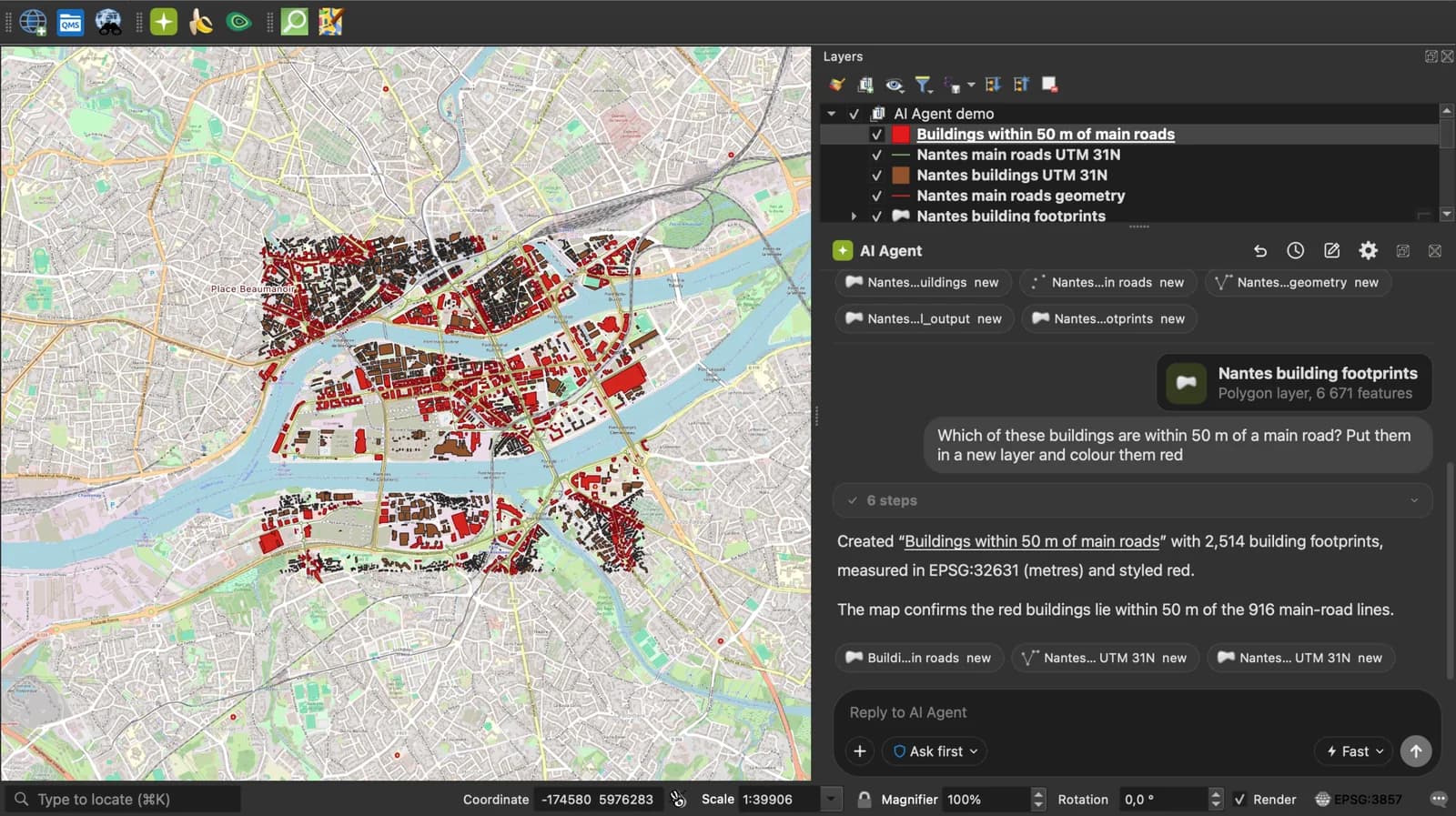
 QGIS plugin
AI Agent for QGIS
Skip the converter next time: ask AI Agent in QGIS to convert, reproject and load your files.
 AI Segmentation
 AI Edit
Guide
How it works, formats and limits.
About this tool
One row per placemark, every field as a column, straight from the archive. Free, and the file never leaves your browser. Two other ways work too: export from QGIS with GEOMETRY set to AS_XY, or rename the .kmz to .zip and open the doc.kml inside it in Excel. Both are explained step by step below.
How the conversion works
- Choose a .kmz file or drop it on the page. Files up to 50 MB.
- The page unzips the archive in memory and reads every Placemark of the doc.kml. A Point becomes longitude and latitude columns. A LineString, Polygon or MultiGeometry becomes a WKT column, which QGIS reads as geometry.
- Download the CSV. It opens in Excel, Google Sheets, and in QGIS through Layer, Add Layer, Add Delimited Text Layer.
What the CSV contains
Columns that nothing filled are left out, so a plain point file comes out as four columns rather than ten.
| Column | What it holds |
|---|---|
| name | The Placemark name. |
| description | The Placemark description, HTML tags included, as one cell. |
| longitude, latitude, altitude | Decimal degrees, WGS 84, for a Point; altitude in metres when the KML carries one. |
| geometry_type | Point, LineString, Polygon, MultiPolygon or GeometryCollection. |
| wkt | Well-known text for anything that is not a single point. Choose this column as the geometry field when you load the CSV in QGIS. |
| folder, timestamp | The Folder names above the Placemark joined with a slash, and the TimeStamp. |
| <field name> | One column per ExtendedData field, named after the field. |
Other ways to convert KMZ to CSV
Pick the route that matches the tools you already have. All three keep the file on your computer.
In this page, no install
- Drop the .kmz on the converter at the top of this page.
- Download the CSV. Points get longitude and latitude columns, lines and polygons a wkt column.
In QGIS, with GEOMETRY set to AS_XY
- Drag the .kmz onto the QGIS map, or use Layer, Add Layer, Add Vector Layer. If the KMZ has several folders, QGIS asks which layers to add.
- Right-click the layer, then Export, Save Features As.
- Set Format to Comma Separated Value [CSV] and the CRS to EPSG:4326 for latitude and longitude in degrees.
- Under Layer Options, set GEOMETRY to AS_XY for points. AS_XY writes only points, so for lines and polygons choose AS_WKT instead.
- Click OK. The CSV gets X (longitude) and Y (latitude) columns next to the attributes.
In Excel, through a ZIP
- A KMZ is a ZIP archive. Rename file.kmz to file.zip and extract it.
- Inside you find doc.kml, the placemarks as XML.
- In Excel for Windows, open doc.kml with Data, Get Data, From File, From XML, and load the Placemark table.
- The coordinates arrive as one text cell, longitude,latitude,altitude. Split it with Data, Text to Columns, using the comma as delimiter.
- Save as CSV. Lines and polygons keep their coordinates as one long text cell, with no geometry Excel can use.
Which method to use
| This page | QGIS | Excel | |
|---|---|---|---|
| File uploaded to a server | No | No | No |
| Install needed | None | QGIS, free | Excel for Windows |
| Lines and polygons | Kept as a wkt column | Kept with AS_WKT | Raw coordinate text only |
| Folders and ExtendedData | Folder column, one column per field | One layer per folder | Nested XML columns |
| Size limit | 50 MB per file | Your computer's memory | 1,048,576 rows per sheet |
What it does not do
- Icons, styles and overlay images inside the KMZ are ignored. A CSV has no place for them.
- NetworkLink elements are not followed.
- Coordinates stay in WGS 84 (EPSG:4326). Reproject in QGIS if you need a projected system.
- The wkt column of a detailed polygon can exceed the 32,767 characters Excel allows in a cell. QGIS and Google Sheets read it in full.
Frequently asked questions
Short answers to what people ask most.
Does my KMZ get uploaded?
No. The archive is unzipped and read by JavaScript in your browser tab. Open the network panel while you convert: no request carries the file.
How do I open the CSV in QGIS?
Layer, Add Layer, Add Delimited Text Layer. Pick the file, set the geometry definition to Point coordinates with longitude as X and latitude as Y, or to Well known text with the wkt column for lines and polygons. Geometry CRS is EPSG:4326.
Why are longitude and latitude empty on some rows?
Those placemarks are lines or polygons. Their geometry is in the wkt column. Only a Point has a single coordinate pair to put in two columns.
How do I convert a KMZ with polygons or tracks without losing them?
Keep the geometry as WKT, well-known text. This page writes it to a wkt column on every line and polygon. In QGIS, set GEOMETRY to AS_WKT in the CSV export options. Longitude and latitude columns can only hold one point, so a CSV with only X and Y keeps the placemarks of a track or a field as points and loses the shape.
I only want the placemark names and coordinates.
Convert, open the CSV and delete the other columns. The name, longitude and latitude columns come first.
Does it read a Google My Maps export?
Yes. Export the map as KMZ, drop it here. Each My Maps layer is a folder, kept in the folder column.