
GeoJSON viewer
Drop or paste GeoJSON and see it on a map with its properties as a table.
Nothing is uploaded
 QGIS plugin
AI Agent for QGIS
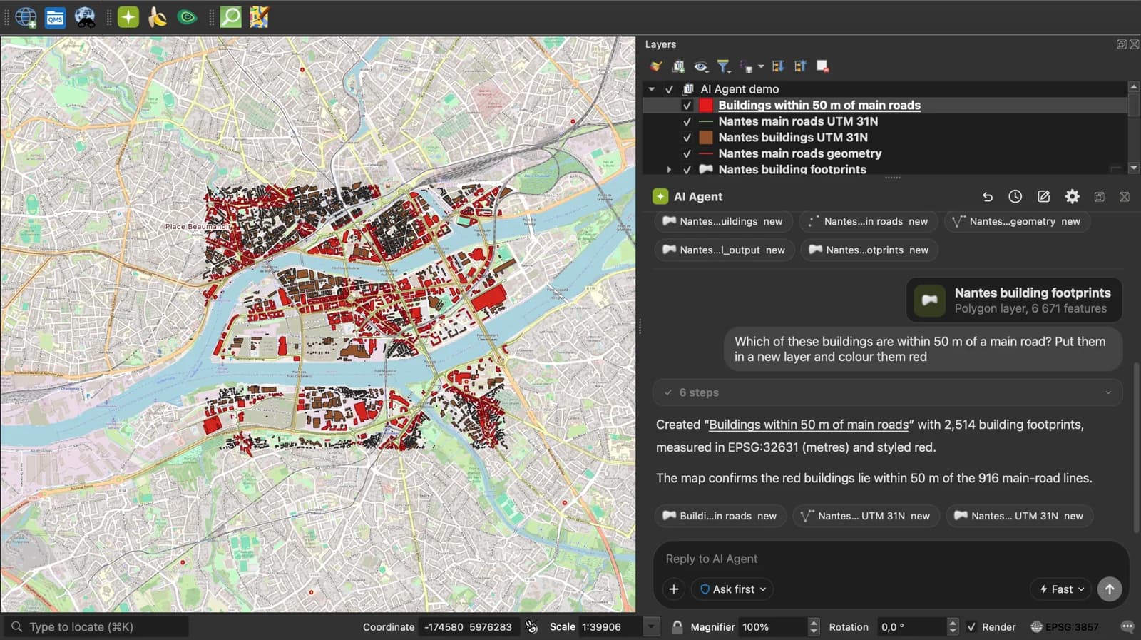
Do all of this inside QGIS: ask AI Agent to find the data, convert it and build the map.
 AI Segmentation
 AI Edit
Guide
How it works, formats and limits.
About this tool
Drop or paste GeoJSON and see it on a map with its properties as a table. The file is read in your browser and never uploaded. GeoJSON is the JSON format for geographic features defined by RFC 7946 (2016): longitude and latitude in WGS 84, then a properties object per feature.
How the viewer works
- Choose a .geojson or .json file, drop it anywhere on the page, paste the JSON or load it from a link (an API response works if the server allows it).
- Features are drawn on a map or a satellite image: points, lines, polygons and their multi versions. Click one to read its properties.
- Read the count by geometry type, the bounding box, the total length and area, open the table, then convert the file to Shapefile, KML, CSV or Excel if you need to.
What is read from the GeoJSON
Any valid GeoJSON object, not only a FeatureCollection.
| GeoJSON | In the viewer |
|---|---|
| FeatureCollection | Every feature drawn and listed in the table. |
| Feature | One feature. |
| Bare geometry | A Point, LineString or Polygon without a Feature around it is drawn as one feature with no properties. |
| properties | One column per key. Nested objects show as JSON text. |
| crs member | Read when it names a known system (the 2008 GeoJSON spec allowed it); the coordinates are reprojected to WGS 84 for the map. |
| Bounding box | Computed from the coordinates, in the [minx, miny, maxx, maxy] order of the bbox member. |
What it does not do
- No editing: the viewer shows the file as it is. To change it, open it in QGIS.
- simplestyle properties (stroke, fill, marker-color) are listed in the table but not applied to the map.
- TopoJSON is not read; convert it to GeoJSON first.
- Files up to 50 MB.
Frequently asked questions
Short answers to what people ask most.
Does my GeoJSON get uploaded?
No. The JSON is parsed by JavaScript in this tab and drawn there. Nothing is sent to a server; the only network calls are the map tiles.
How do I open a GeoJSON file?
Drop it on this page to see it on a map with its table. To edit it, QGIS opens it with Layer, Add Layer, Add Vector Layer. Any text editor also opens it, since it is plain JSON.
Is GeoJSON different from JSON?
GeoJSON is JSON with a fixed shape: a type, coordinates in longitude, latitude order, and a properties object per feature. Any GeoJSON file is valid JSON, but a JSON file is GeoJSON only if it follows that shape.
Can QGIS read GeoJSON?
Yes. QGIS reads and writes GeoJSON natively through GDAL. For large datasets, GeoPackage or FlatGeobuf load faster.
Why is my GeoJSON in the wrong place, or not shown?
The usual cause is coordinates in metres (Lambert 93, UTM) or in latitude, longitude order. RFC 7946 requires longitude first, in WGS 84. Fix the system with the coordinate converter linked below, then open the file again.
Can I paste GeoJSON instead of a file?
Yes. Use Paste text, or press Ctrl+V (Cmd+V on a Mac) anywhere on the page outside a text field.