
Convert KML to CSV
One row per placemark, every field as a column.
Nothing is uploaded
 QGIS plugin
AI Agent for QGIS
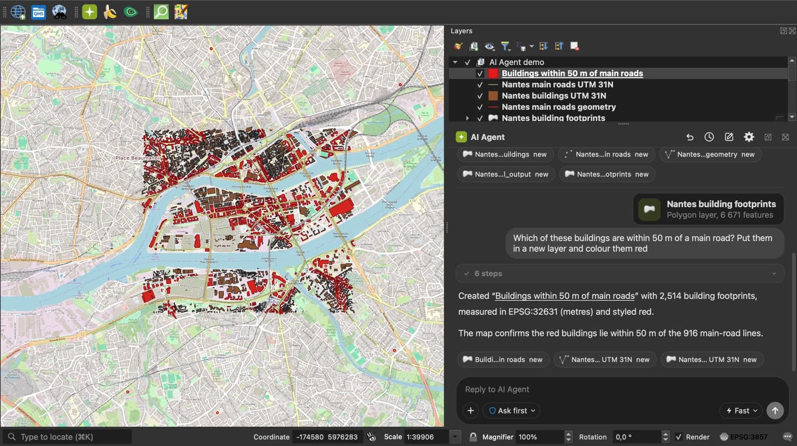
Skip the converter next time: ask AI Agent in QGIS to convert, reproject and load your files.
 AI Segmentation
 AI Edit
Guide
How it works, formats and limits.
About this tool
One row per placemark, every field as a column. Free, and the file never leaves your browser.
How the conversion works
- Choose a .kml file, drop it on the page, or paste the KML text. Files up to 50 MB.
- The page reads every Placemark. A Point becomes longitude and latitude columns. A LineString, Polygon or MultiGeometry becomes a WKT column, which QGIS reads as geometry.
- Download the CSV. It opens in Excel, Google Sheets, and in QGIS through Layer, Add Layer, Add Delimited Text Layer.
What the CSV contains
Columns that nothing filled are left out, so a plain point file comes out as four columns rather than ten.
| Column | What it holds |
|---|---|
| name | The Placemark name. |
| description | The Placemark description, HTML tags included, as one cell. |
| longitude | Decimal degrees, WGS 84, for a Point. Empty for lines and polygons. |
| latitude | Decimal degrees, WGS 84, for a Point. |
| altitude | Metres, when the KML carries a third coordinate. |
| geometry_type | Point, LineString, Polygon, MultiPolygon or GeometryCollection. |
| wkt | Well-known text for anything that is not a single point. Choose this column as the geometry field when you load the CSV in QGIS. |
| folder | The Folder names above the Placemark, joined with a slash. |
| timestamp | The TimeStamp or the start of the TimeSpan, as written in the file. |
| <field name> | One column per ExtendedData field, in both the Data and the SchemaData spellings, named after the field. |
What it does not do
- KMZ is a zip. Unzip it first, the doc.kml inside is what this page reads.
- Styles, icons and colours are not carried over. A CSV has no place for them.
- NetworkLink elements are not followed. The page reads the file you give it, nothing else.
- Coordinates stay in WGS 84 (EPSG:4326). Reproject in QGIS if you need a projected system.
Frequently asked questions
Short answers to what people ask most.
Does my KML file get uploaded?
No. The conversion is JavaScript running in your browser tab. Open the network panel of your browser while you convert: no request carries the file. Close the tab and the file is gone.
How do I open the CSV in QGIS?
Layer, Add Layer, Add Delimited Text Layer. Pick the file, set the geometry definition to Point coordinates with longitude as X and latitude as Y, or to Well known text with the wkt column for lines and polygons. Geometry CRS is EPSG:4326.
Why are longitude and latitude empty on some rows?
Those placemarks are lines or polygons. Their geometry is in the wkt column. Only a Point has a single coordinate pair to put in two columns.
Can I convert a KMZ file?
Not directly. A KMZ is a zip archive with a doc.kml inside. Rename it to .zip, extract it, and drop the .kml on this page.
How large a file can it take?
Up to 50 MB of KML text. A file that size takes a few seconds on a laptop. Past that, ogr2ogr on the command line is the better tool.