
KML and KMZ viewer
Open a KML or KMZ file on a map, without Google Earth, and read every placemark's attributes.
Nothing is uploaded
 QGIS plugin
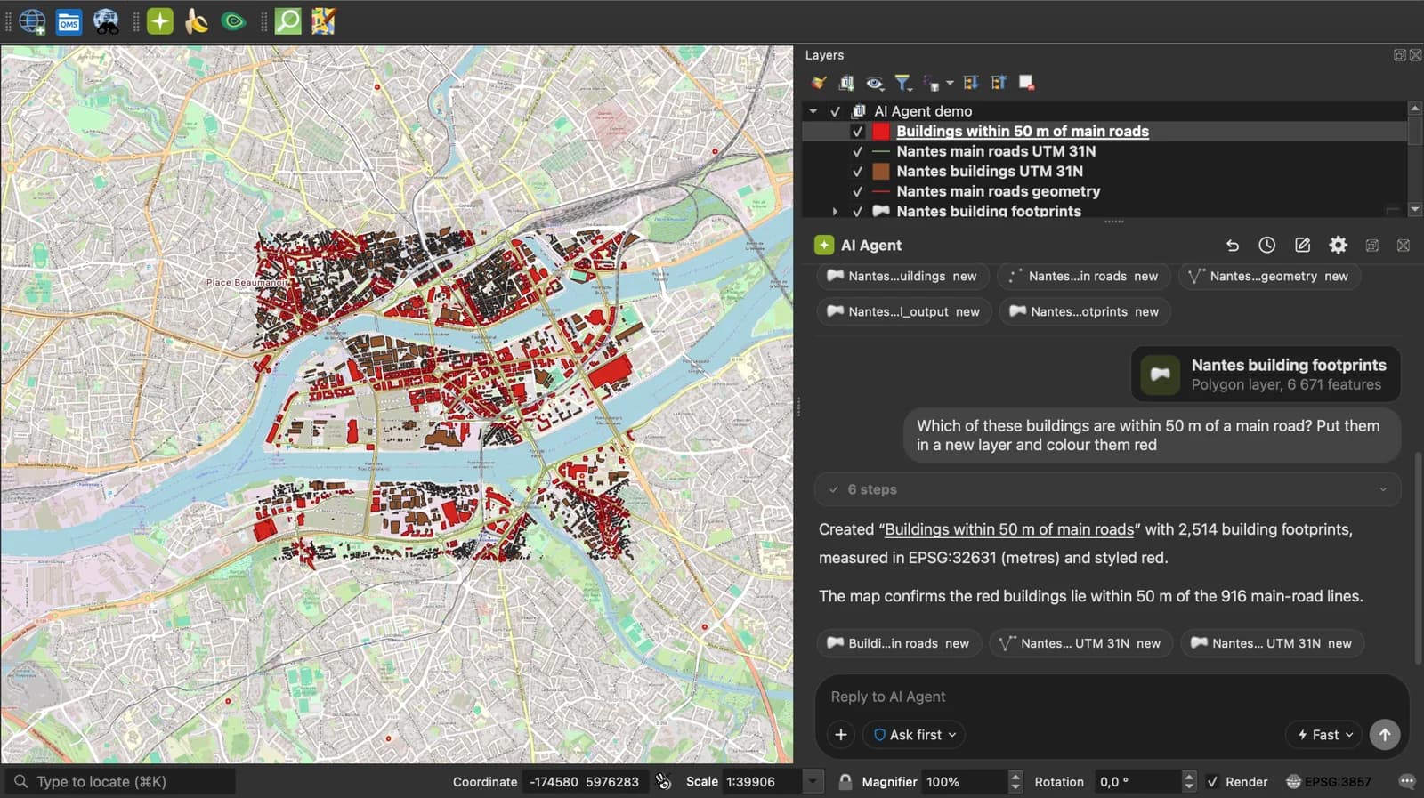
AI Agent for QGIS
Do all of this inside QGIS: ask AI Agent to find the data, convert it and build the map.
 AI Segmentation
 AI Edit
Guide
How it works, formats and limits.
About this tool
Open a KML or KMZ file on a map, without Google Earth, and read every placemark's attributes. The file is read in your browser and never uploaded. KML (Keyhole Markup Language) is the XML format of Google Earth, an OGC standard since 2008; a KMZ is the same KML zipped, sometimes with its icons.
How the viewer works
- Choose a .kml or .kmz file, drop it anywhere on the page, paste the KML text or load it from a link.
- Placemarks are drawn on a map or a satellite image: points, paths and polygons, folders included. Click one to read its name, description and ExtendedData.
- Read the count, the total length of paths, the area of polygons and the bounding box, open the table, then convert the file to CSV, Excel, Shapefile or GeoJSON if you need to.
What is read from the KML
Everything KML 2.2 carries at the placemark level, in every Folder and Document.
| KML | In the viewer |
|---|---|
| Placemark with Point | A point on the map and a row in the table. |
| LineString | A line. Its length is added to the total. |
| Polygon | A polygon, holes included. Its area is added to the total. |
| MultiGeometry | One feature with several parts. |
| name, description | Columns in the table and the popup when you click the feature. |
| ExtendedData | One column per Data or SimpleData field. |
| KMZ | Unzipped in the browser; the main .kml inside is read. |
What it does not do
- KML styles (colours, line widths, icons) are not applied: every feature is drawn in one colour.
- NetworkLink is not followed and GroundOverlay images are not drawn.
- 3D models and tours are ignored. Altitude is kept in the data but the map is flat.
- Files up to 50 MB.
Frequently asked questions
Short answers to what people ask most.
Does my KML file get uploaded?
No. The file is read by JavaScript in this tab and drawn there. Nothing is sent to a server; the only network calls are the map tiles.
How can I view a KML file without Google Earth?
Drop it on this page: it opens in any browser, on a computer or a phone, with no install and no Google account.
Can I open a KML in Google Maps?
Not in Google Maps itself. Google My Maps imports a KML or KMZ as a layer (up to 2,000 features and 5 MB per layer). This page has no such cap below 50 MB.
What is the difference between KML and KMZ?
A KMZ is a zip archive holding a KML, usually named doc.kml, and sometimes its icons and images. This page opens both: a KMZ is unzipped in the browser first.
Can I open a KML file in Excel?
Not directly. Use the KML to Excel converter linked under the map: each placemark becomes a row with latitude, longitude and its attributes, and the file you opened here goes along.
Can QGIS open a KML?
Yes, with Layer, Add Layer, Add Vector Layer. QGIS reads KML and KMZ through GDAL and can show each folder as its own layer.