
Convert Shapefile to Excel
The attribute table of your shapefile as a spreadsheet, with coordinates.
Nothing is uploaded
 QGIS plugin
AI Agent for QGIS
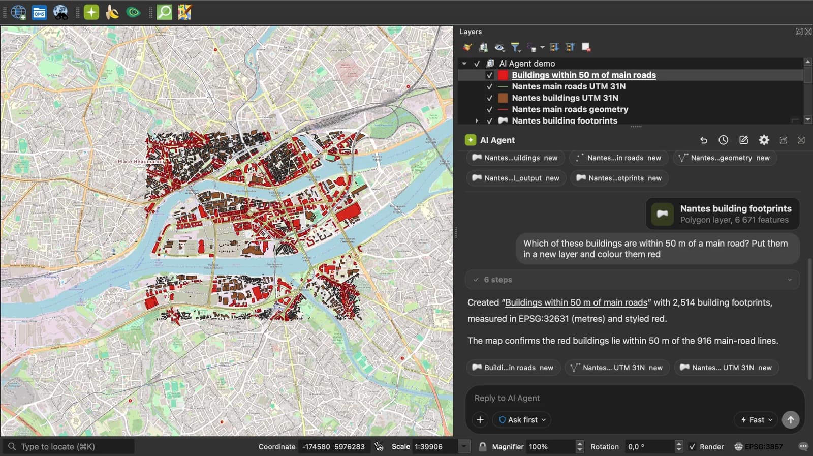
Skip the converter next time: ask AI Agent in QGIS to convert, reproject and load your files.
 AI Segmentation
 AI Edit
Guide
How it works, formats and limits.
About this tool
The attribute table of your shapefile as a spreadsheet, with coordinates. Free, and the files never leave your browser.
How the conversion works
- Choose the .zip that holds the shapefile, or the .shp together with its .dbf and .prj.
- The page reads the geometry and the DBF attributes, reprojects to WGS 84 from the .prj, and writes one row per feature. Points get longitude and latitude columns, lines and polygons a wkt column.
- Download the .xlsx and open it in Excel, Google Sheets or LibreOffice.
What the sheet contains
One sheet, one header row, one row per feature, attribute names as in the DBF.
| Column | What it holds |
|---|---|
| name | The placemark or feature name. |
| description | The description, HTML tags included, in one cell. |
| longitude, latitude | Decimal degrees, WGS 84, stored as numbers, for a point. |
| altitude | Metres, when the source has a third coordinate. |
| geometry_type | Point, LineString, Polygon or a Multi type. |
| wkt | Well-known text for anything that is not a single point. |
| One column per attribute | Named after the field. Plain numbers are stored as numbers; codes with a leading zero stay text. |
What it does not do
- Without a .prj the coordinates are read as WGS 84, and a notice says so.
- Lines and polygons come out as WKT text, not split into vertices.
- A zip that holds several shapefiles gives all their features in one sheet.
- Files up to 50 MB.
Frequently asked questions
Short answers to what people ask most.
Does my file get uploaded?
No. The conversion runs in your browser tab. Nothing is sent, and closing the tab clears it.
Can I just open the .dbf in Excel?
Older Excel versions opened DBF files, recent ones do not, and the DBF holds no coordinates. This page gives you the attributes plus the geometry in one .xlsx.
Which files do I need?
The .shp, .dbf and .prj at least, or the .zip that holds them. The .shx and .cpg are used when present.
What coordinate system is the output in?
WGS 84 (EPSG:4326), longitude and latitude in decimal degrees, whatever the shapefile used. The .prj tells the page what to reproject from.
How do I export the attribute table from QGIS instead?
Right-click the layer, Export, Save Features As, format MS Office Open XML spreadsheet. This page does the same without opening QGIS.