
Shapefile viewer
Open a Shapefile on a map and read its DBF attribute table, without ArcGIS or QGIS.
Nothing is uploaded
 QGIS plugin
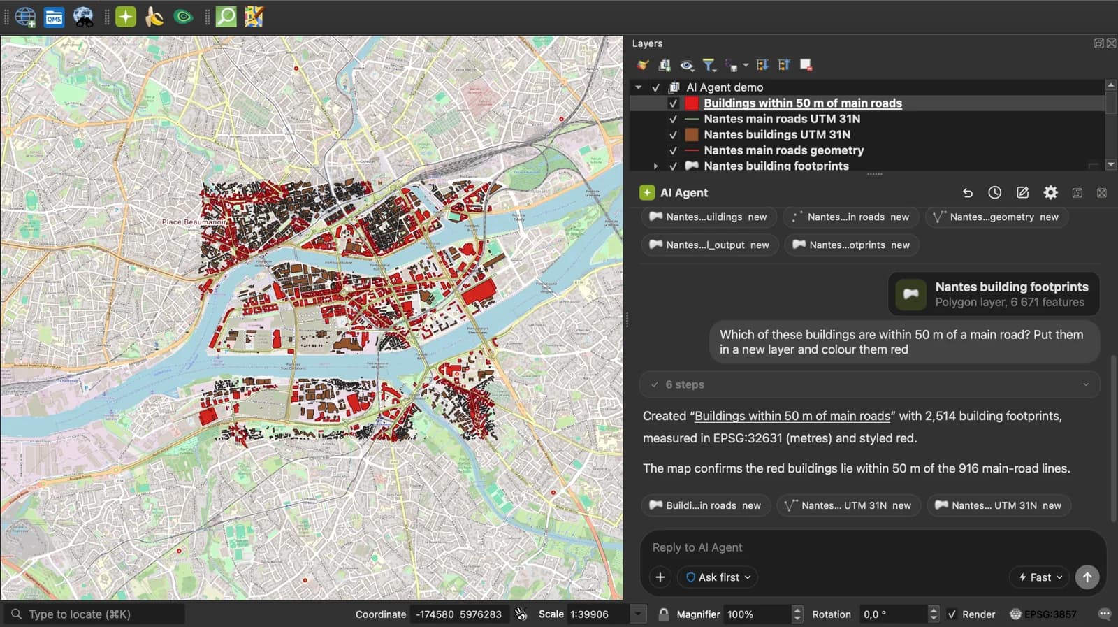
AI Agent for QGIS
Do all of this inside QGIS: ask AI Agent to find the data, convert it and build the map.
 AI Segmentation
 AI Edit
Guide
How it works, formats and limits.
About this tool
Open a Shapefile on a map and read its DBF attribute table, without ArcGIS or QGIS. The files are read in your browser and never uploaded. A Shapefile is Esri's vector format from the early 1990s, a set of files: .shp for geometry, .shx for the index, .dbf for attributes and .prj for the coordinate system.
How the viewer works
- Choose the .zip that holds the Shapefile, or select the .shp, .dbf and .prj together, or drop them anywhere on the page.
- The geometry is reprojected to WGS 84 through the .prj and drawn on a map or a satellite image. Click a feature to read its attributes.
- Read the count, the coordinate system, the bounding box, the total area or length, open the table, then convert the file to GeoJSON, KML, CSV or Excel if you need to.
What is read from each file
The four files that matter. Others in the zip (.cpg, .sbn, .xml) are ignored, except .cpg for the text encoding.
| File | In the viewer |
|---|---|
| .shp | The geometry: points, lines or polygons. Required. |
| .dbf | The attribute table, one column per field. Without it, the features have no attributes. |
| .prj | The coordinate system, shown under the map and used to reproject to WGS 84. Without it, coordinates are taken as degrees. |
| .cpg | The text encoding of the DBF (UTF-8, Windows-1252), so accented names read correctly. |
| .zip | Unzipped in the browser. A zip with several Shapefiles opens them together. |
What it does not do
- A Shapefile in metres with no .prj cannot be placed on the map. Add the .prj and open it again.
- The table shows the first 50 rows; the count and the numbers cover every feature.
- Styles saved in a .qml, .sld or .lyr file are not applied.
- Files up to 50 MB in total.
Frequently asked questions
Short answers to what people ask most.
Does my Shapefile get uploaded?
No. The zip or the files are read by JavaScript in this tab and drawn there. Nothing is sent to a server; the only network calls are the map tiles.
Which files do I need to open a Shapefile?
The .shp is required and the .dbf holds the attributes. Add the .prj so the data lands in the right place. The easiest is the .zip that contains them all.
How do I open a Shapefile without ArcGIS?
Drop it on this page to look at it. To edit it, QGIS is free and opens it with Layer, Add Layer, Add Vector Layer, pointing at the .shp.
My Shapefile is in Lambert 93 or UTM. Will it show?
Yes, if the .prj is there: the coordinates are reprojected to WGS 84 in your browser and the original system is shown under the map.
Why are some attribute names cut short?
The DBF format limits field names to 10 characters, so the names were already cut when the Shapefile was written. Converting to GeoJSON or GeoPackage removes that limit for the next export.
Can I convert the Shapefile after viewing it?
Yes. The links under the map open the Shapefile to GeoJSON, KML, CSV, Excel or GPX converter with the same file, without choosing it again.