
Convert Shapefile to KMZ
Drop the zip or the .shp, .dbf and .prj.
Nothing is uploaded
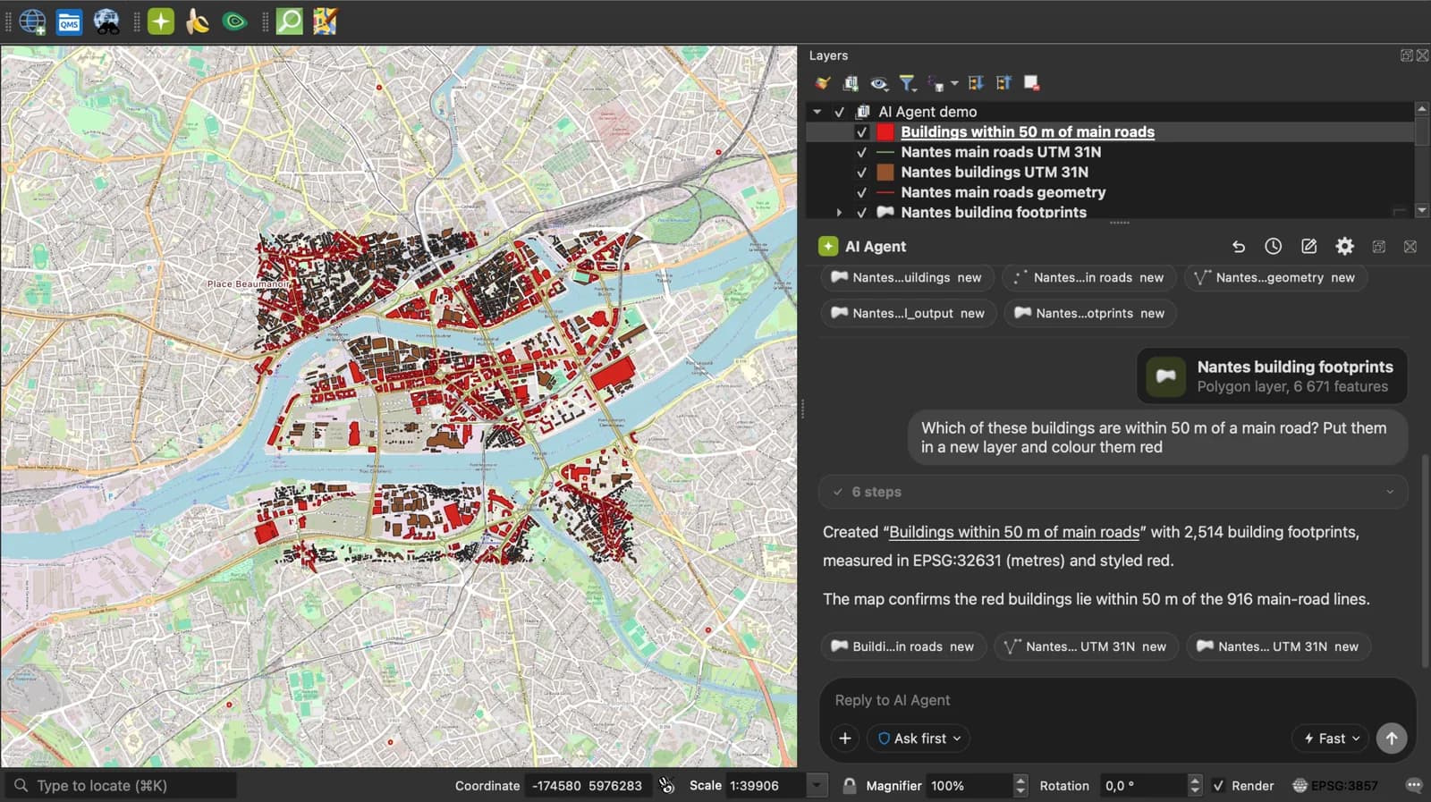
 QGIS plugin
AI Agent for QGIS
Skip the converter next time: ask AI Agent in QGIS to convert, reproject and load your files.
 AI Segmentation
 AI Edit
Guide
How it works, formats and limits.
About this tool
Drop the zip or the .shp, .dbf and .prj. One placemark per record, compressed for Google Earth, and nothing leaves your browser.
How the conversion works
- Choose the shapefile as one .zip, or select the .shp, .dbf and .prj together.
- Geometries come from the .shp and are reprojected to WGS 84 through the .prj, since KML only knows degrees. Each DBF record becomes a Placemark; a field called name, title or label becomes its name, the others go to ExtendedData. The KML is then zipped as doc.kml.
- Download the .kmz and open it in Google Earth or send it by email: it is a fraction of the KML's size.
How each part is mapped
The .prj matters most here: without it the metres of a projected shapefile are written as if they were degrees, and Google Earth shows nothing. A notice says when that happened.
| Shapefile | KMZ |
|---|---|
| Point, MultiPoint | Point, or a MultiGeometry of Points. |
| PolyLine | LineString, or a MultiGeometry of LineStrings for several parts. |
| Polygon | Polygon with outerBoundaryIs and innerBoundaryIs for holes, or a MultiGeometry for several outer rings. |
| DBF field name, title, label, id | The Placemark name, matched case-insensitively. |
| Every other DBF field | An ExtendedData Data element, shown in the Google Earth balloon. |
What it does not do
- No styles: the placemarks take Google Earth's defaults.
- A shapefile without a .prj is passed through unchanged. If it was in metres, the result is not on the map. Add the .prj and convert again.
- Z and M values are dropped.
- Files up to 50 MB together.
Frequently asked questions
Short answers to what people ask most.
Does my shapefile get uploaded?
No. The files are read in your browser tab and the KMZ is written there. Nothing is sent.
KMZ or KML, which should I pick?
KMZ when the file goes by email or to a phone: it is compressed. KML when you want to read or edit the text. Both open in Google Earth.
Google Earth shows nothing after I open the KMZ.
The shapefile was in a projected system and the .prj was missing, so metres were written as degrees. Select the .prj together with the .shp and .dbf and convert again.
Which field becomes the placemark name?
The first DBF field called name, title, label or id, case ignored. Rename a field in QGIS if you want another one.
Why does the .dbf text look wrong?
Add the .cpg file from the same folder. It names the encoding; without it the page guesses.