
GPX viewer
See a GPX track on a map with its length, elevation profile and waypoints.
Nothing is uploaded
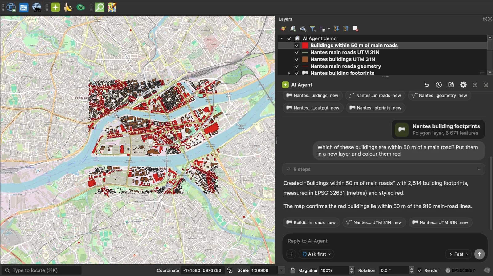
 QGIS plugin
AI Agent for QGIS
Do all of this inside QGIS: ask AI Agent to find the data, convert it and build the map.
 AI Segmentation
 AI Edit
Guide
How it works, formats and limits.
About this tool
See a GPX track on a map with its length, elevation profile and waypoints. The file is read in your browser and never uploaded. GPX (GPS Exchange Format) is the XML file that GPS units, watches and apps like Strava, Garmin Connect and Komoot export: waypoints, routes and tracks, with elevation in metres.
How the viewer works
- Choose a .gpx file, drop it anywhere on the page, paste the GPX text or load it from a link.
- Waypoints are drawn as points, routes and tracks as lines on a map or a satellite image. Click one to read its name, description, symbol and time.
- Read the numbers: track length, lowest and highest point, ascent, descent, the elevation profile and the bounding box. Then convert the file to KML, CSV, GeoJSON or Shapefile if you need to.
What each number means
Computed from the points in the file, in your browser.
| Number | How it is measured |
|---|---|
| Length | The sum of the distances between consecutive points of every route and track, on a sphere of the Earth's mean radius (within 0.5% of a survey-grade measure). |
| Elevation | The lowest and highest ele values found on the routes and tracks, in metres. |
| Ascent, descent | Every rise and every drop between two consecutive points, added up, with no smoothing. |
| Elevation profile | Elevation against distance along the longest track that has elevation. |
| Bounding box | West, south, east and north limits of every point, in decimal degrees (WGS 84). The copy button gives minx,miny,maxx,maxy. |
| Table | One row per waypoint, route and track: name, desc, cmt, type, sym and time. |
What it does not do
- Per-point times are not read, so there is no moving time or speed. A track shows the time of its first point.
- Ascent is the raw sum. A watch or Strava smooths the data or corrects it with a terrain model, so their figure is usually lower on a noisy recording.
- Heart rate, cadence and power extensions are not shown.
- Files up to 50 MB.
Frequently asked questions
Short answers to what people ask most.
Does my GPX file get uploaded?
No. The file is read by JavaScript in this tab and drawn there. Nothing is sent to a server; the only network calls are the map tiles.
What does GPX stand for?
GPS Exchange Format. It is an XML format published by TopoGrafix in 2002, now at version 1.1 (2004). A file holds waypoints (wpt), routes (rte) and tracks (trk) made of track points with latitude, longitude, elevation and time.
How do I open a GPX file without installing anything?
Drop it on this page. It works in any recent browser on Windows, macOS, Linux, Android and iOS, with no app and no account.
How do I get a GPX out of Strava, Garmin or Komoot?
Strava: open the activity, the three-dot menu, Export GPX. Garmin Connect: the activity's gear menu, Export to GPX. Komoot: the tour, then Download GPX. Then drop the file here.
Why is the ascent different from my watch?
This page adds up every rise between points as recorded. Garmin and Strava filter small ups and downs, and Strava can replace elevation with a terrain model.
Can I open the GPX in Google Earth or QGIS?
Google Earth wants KML: use the GPX to KML converter linked under the map, which takes the same file. QGIS opens a GPX directly (Layer, Add Layer, Add Vector Layer), with one layer per waypoints, routes and tracks.