
Convert KMZ to GPX
From the Google Earth archive to a GPX for your GPS, no unzipping by hand.
Nothing is uploaded
 QGIS plugin
AI Agent for QGIS
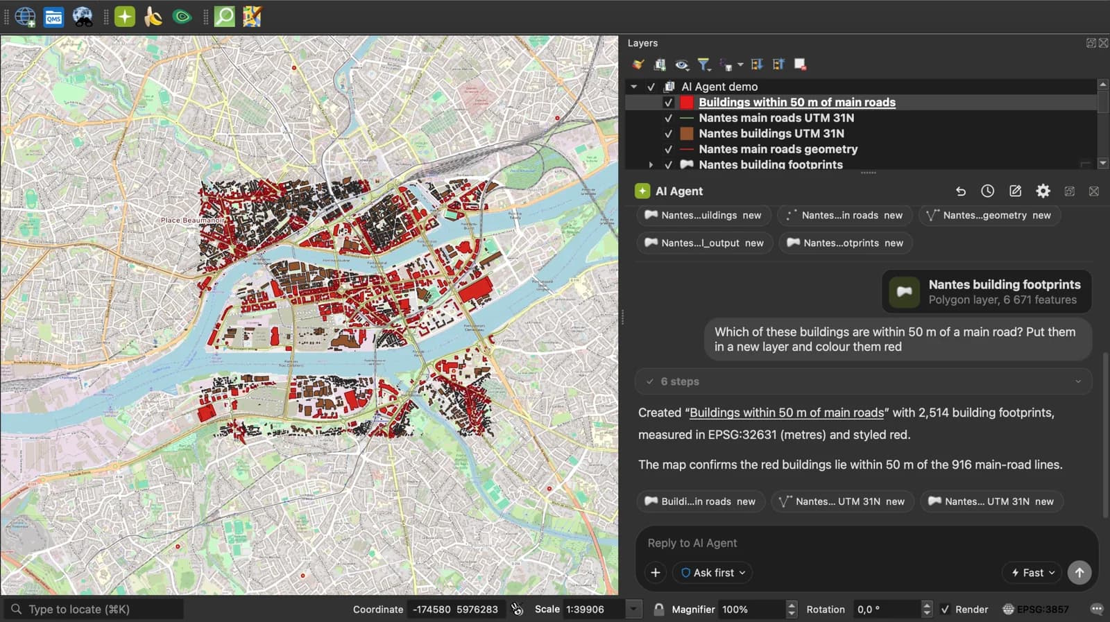
Skip the converter next time: ask AI Agent in QGIS to convert, reproject and load your files.
 AI Segmentation
 AI Edit
Guide
How it works, formats and limits.
About this tool
From the Google Earth archive to a GPX for your GPS, no unzipping by hand. Free, and the file never leaves your browser.
How the conversion works
- Choose a .kmz file or drop it on the page. Google My Maps exports one by default.
- The page unzips the archive in memory and reads the doc.kml inside. Each Point becomes a waypoint, each LineString a track segment, each polygon a track along its outline. Names and descriptions are kept, elevation too when the KML has one.
- Download the .gpx and load it on the device or in the app: Garmin, Komoot, OsmAnd, Gaia GPS, Strava routes, AllTrails.
How each part is mapped
GPX 1.1, the version every device reads.
| KMZ | GPX |
|---|---|
| doc.kml inside the archive | Read as the source; doc.kml at the root wins, otherwise the first .kml found. |
| Placemark with a Point | A wpt with name, desc and ele. |
| Placemark with a LineString | A trk with one trkseg. |
| MultiGeometry of LineStrings | One trk with one trkseg per line. |
| Polygon | A trk along the outline. GPX has no polygon. |
| Icons, overlays, ExtendedData, folders | Left out. |
What it does not do
- GPX has no polygon. A polygon comes out as a closed track.
- Icons, overlay images, folders and ExtendedData are dropped: a GPX carries name, description, elevation and time and little else.
- No per-point time on tracks, since KML lines have none. Strava takes the file as a route, not an activity.
- Files up to 50 MB.
Frequently asked questions
Short answers to what people ask most.
Does my KMZ get uploaded?
No. The archive is unzipped and converted in your browser tab. Nothing is sent.
How do I get a KMZ from Google My Maps?
Open the map, the three-dot menu next to its title, Export to KML/KMZ, leave the KMZ option and download. Drop that file here.
Will my Garmin read it?
Yes. It is plain GPX 1.1. Copy the file to the Garmin's Newfiles folder, or import it in BaseCamp or Garmin Connect.
Can I upload it to Strava?
As a route: Strava, Routes, Create, Upload GPX. Not as an activity, because the points have no timestamps.
My KMZ has several layers. Do they all come through?
Yes, every placemark of the doc.kml, whatever folder it sits in. The folder names themselves are not kept, GPX has no folders.