
Convert GeoJSON to Shapefile
A complete zipped shapefile, .prj and .cpg included, for ArcGIS or QGIS.
Nothing is uploaded
 QGIS plugin
AI Agent for QGIS
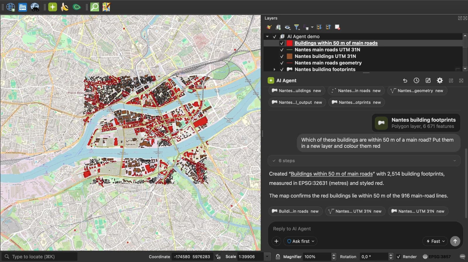
Skip the converter next time: ask AI Agent in QGIS to convert, reproject and load your files.
 AI Segmentation
 AI Edit
Guide
How it works, formats and limits.
About this tool
A complete zipped shapefile, .prj and .cpg included, for ArcGIS or QGIS. Free, and the file never leaves your browser.
How the conversion works
- Choose a .geojson or .json file, drop it here, or paste the text.
- The page writes the .shp and .shx from the geometries, the .dbf from the properties, a .prj saying WGS 84 and a .cpg saying UTF-8. A shapefile holds one geometry class, so points, lines and polygons in the same file become three shapefiles in the zip.
- Download the .zip. QGIS and ArcGIS open a zipped shapefile directly; or unzip it and add the .shp.
What the zip contains
The five files ESRI's specification lists, so no software has to guess the projection or the text encoding.
| File | What it holds |
|---|---|
| .shp | The geometries. Point or MultiPoint for points, PolyLine for lines, Polygon for polygons with outer rings clockwise and holes counter-clockwise, as the format requires. |
| .shx | The record index the .shp needs. |
| .dbf | One field per property. Names cut to 10 characters and made unique, numbers as numeric fields, booleans as logical fields, text as character fields up to 254 bytes. |
| .prj | GCS_WGS_1984, because GeoJSON coordinates are WGS 84 degrees. |
| .cpg | UTF-8, so accented text reads correctly in QGIS and ArcGIS. |
What it does not do
- Field names longer than 10 characters are truncated, a limit of the DBF format. A notice lists when it happened; check the attribute table.
- Text longer than 254 bytes in one field is cut, another DBF limit.
- A GeometryCollection has no shapefile type and is skipped. Features with null geometry are skipped too.
- Output is 2D. A third coordinate is dropped.
- Output is WGS 84. Reproject in QGIS if the survey wants a projected system.
Frequently asked questions
Short answers to what people ask most.
Why convert GeoJSON to a shapefile?
Most government portals and older GIS desktops still ask for a shapefile, not GeoJSON. Converting once means the file opens anywhere: in QGIS, in ArcGIS, or on a system that has never heard of GeoJSON.
Does my GeoJSON get uploaded?
No. The shapefile is written byte by byte in your browser tab and zipped there. Nothing is sent.
Why are there three shapefiles in my zip?
A shapefile stores one geometry class. Your GeoJSON mixed points, lines and polygons, so each class got its own .shp, named after your file with _points, _lines or _polygons added.
My field names changed.
DBF caps a field name at 10 characters. building_height becomes building_h, and a second field that truncates to the same name gets a numeric suffix. That is what ogr2ogr does as well.
Can I choose a projection?
Not here. The .prj says WGS 84 because that is what GeoJSON is. Open the result in QGIS and Export, Save Features As to reproject.
Will ArcGIS open the zip?
ArcGIS Pro adds a zipped shapefile as a layer. ArcMap needs it unzipped first. QGIS opens the zip directly from Add Vector Layer.