
Convert GeoJSON to CSV
One row per feature, every property a column, in a file Excel opens.
Nothing is uploaded
 QGIS plugin
AI Agent for QGIS
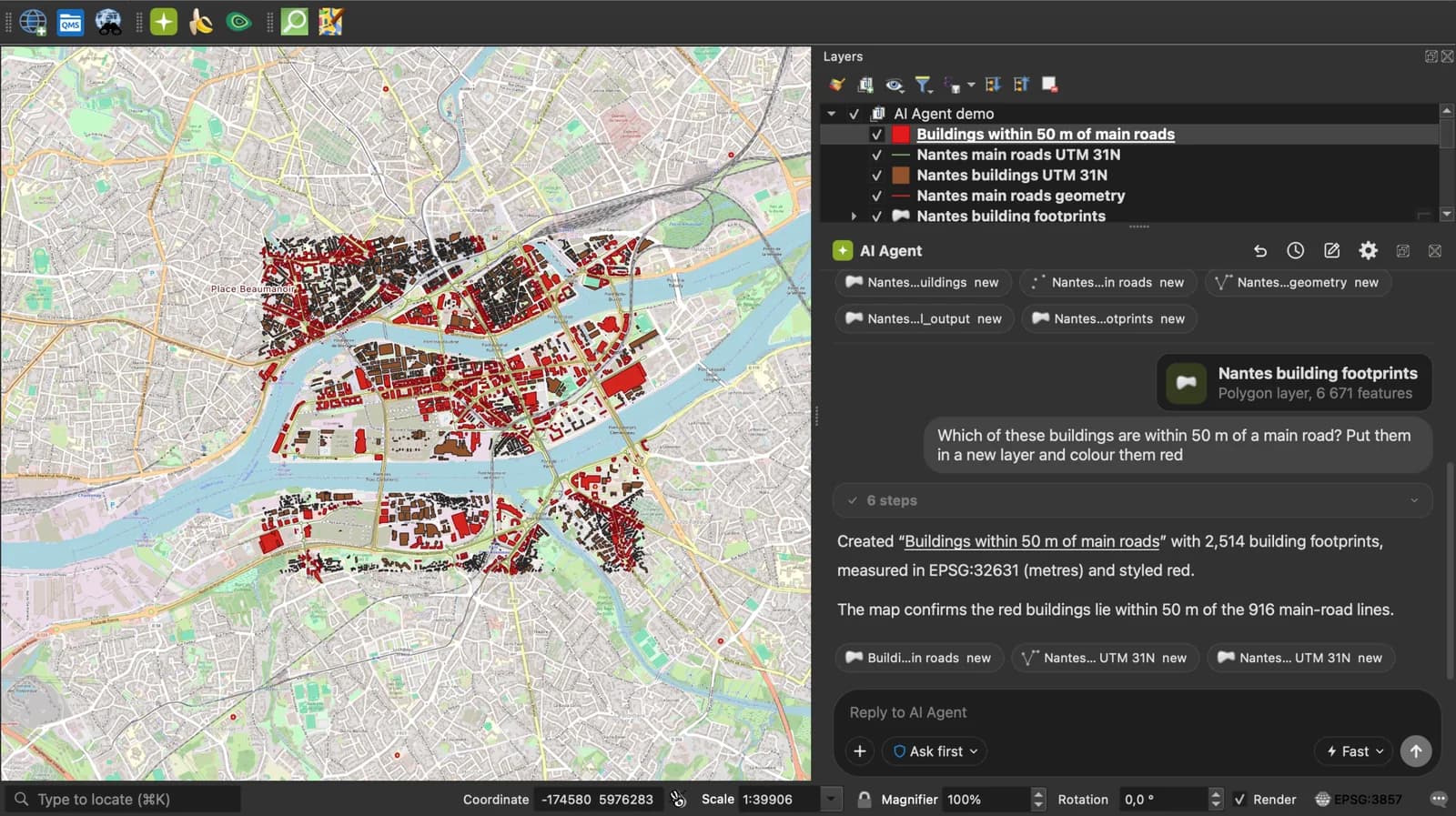
Skip the converter next time: ask AI Agent in QGIS to convert, reproject and load your files.
 AI Segmentation
 AI Edit
Guide
How it works, formats and limits.
About this tool
One row per feature, every property a column, in a file Excel opens. Free, and nothing leaves your browser.
How the conversion works
- Choose a .geojson or .json file, drop it here, or paste the GeoJSON text.
- Each feature becomes a row. Every property becomes a column, in the order the properties first appear. A Point fills longitude and latitude; any other geometry fills a wkt column that QGIS reads back as geometry.
- Download the .csv. It opens in Excel, Google Sheets, pandas, and in QGIS through Add Delimited Text Layer.
What the CSV contains
Coordinate columns nothing filled are left out, so a polygon file gives its properties plus geometry_type and wkt.
| Column | What it holds |
|---|---|
| <property name> | One column per property, named after the property. Nested objects and arrays are written as JSON text in the cell. |
| longitude, latitude, altitude | Decimal degrees for a Point, altitude when the position has a third value. |
| geometry_type | Point, LineString, Polygon, MultiPolygon, GeometryCollection. |
| wkt | Well-known text of any geometry that is not a single point. Pick this column as the geometry when you load the CSV in QGIS. |
What it does not do
- The wkt column of a detailed polygon can exceed the 32,767 characters Excel allows in a cell. QGIS, Google Sheets and pandas read it in full.
- A feature with null geometry keeps its row with empty coordinate columns.
- Coordinates stay in WGS 84 as GeoJSON defines them.
- Files up to 50 MB.
Frequently asked questions
Short answers to what people ask most.
Does my GeoJSON get uploaded?
No. The conversion runs in your browser tab; nothing is sent.
I only want the properties, not the geometry.
Convert, then delete the wkt, geometry_type, longitude and latitude columns in your spreadsheet. Everything else is the property table.
How do I get the CSV back into QGIS with polygons?
Add Delimited Text Layer, geometry definition Well known text, geometry field wkt, CRS EPSG:4326.
What happens to nested properties?
An object or an array inside properties is written as JSON text in its cell, so nothing is lost and a script can parse it back.
Are the columns in a fixed order?
name, description and the coordinate columns first when present, then the properties in the order they first appear in the file.