
Convert GPX to CSV
Waypoints, routes and tracks as rows of a table.
Nothing is uploaded
 QGIS plugin
AI Agent for QGIS
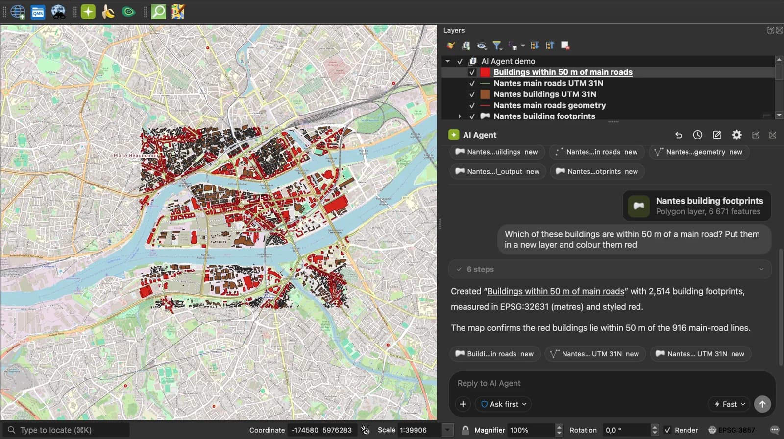
Skip the converter next time: ask AI Agent in QGIS to convert, reproject and load your files.
 AI Segmentation
 AI Edit
Guide
How it works, formats and limits.
About this tool
Waypoints, routes and tracks as rows of a table. Free, and the file never leaves your browser.
How the conversion works
- Choose a .gpx file, drop it on the page, or paste the GPX text. Several GPX files dropped together are merged into one table.
- Each waypoint becomes a row with longitude, latitude and altitude. Each route and each track becomes a row too, its path written as WKT in a wkt column. Name, description, comment, symbol and time get their own columns.
- Download the CSV and open it in Excel, Google Sheets, or in QGIS as a delimited text layer.
What the CSV contains
Columns that nothing filled are left out, so a file of waypoints comes out with a handful of columns.
| Column | What it holds |
|---|---|
| name, description | The GPX name and desc. |
| longitude, latitude | Decimal degrees, WGS 84, for a waypoint. |
| altitude | The ele value, in metres. |
| wkt | The route or track as a LINESTRING or MULTILINESTRING, elevation included. |
| timestamp | The waypoint time, or the first point time of a track. |
| comment, type, symbol | The GPX cmt, type and sym. |
What it does not do
- A track is one row, not one row per track point: the points are in the WKT. Per-point times and heart rate, cadence or power extensions are not written.
- Files up to 50 MB of GPX text.
Frequently asked questions
Short answers to what people ask most.
Does my file get uploaded?
No. The conversion runs in your browser tab. Nothing is sent, and closing the tab clears it.
How do I get the latitude and longitude of my waypoints in a spreadsheet?
Drop the GPX here and download the CSV: each waypoint is a row with latitude and longitude in decimal degrees. Excel and Google Sheets open it directly.
Can I get one row per track point?
Not here: a track is written as one row with its whole path in WKT. In QGIS, load the GPX track_points layer and export it as CSV for one row per point.
Can I convert several GPX files at once?
Yes. Drop them together; they are merged into one CSV, in the order given.