
Convert GPX to KMZ
Your recorded track as a compressed Google Earth file, made in your browser.
Nothing is uploaded
 QGIS plugin
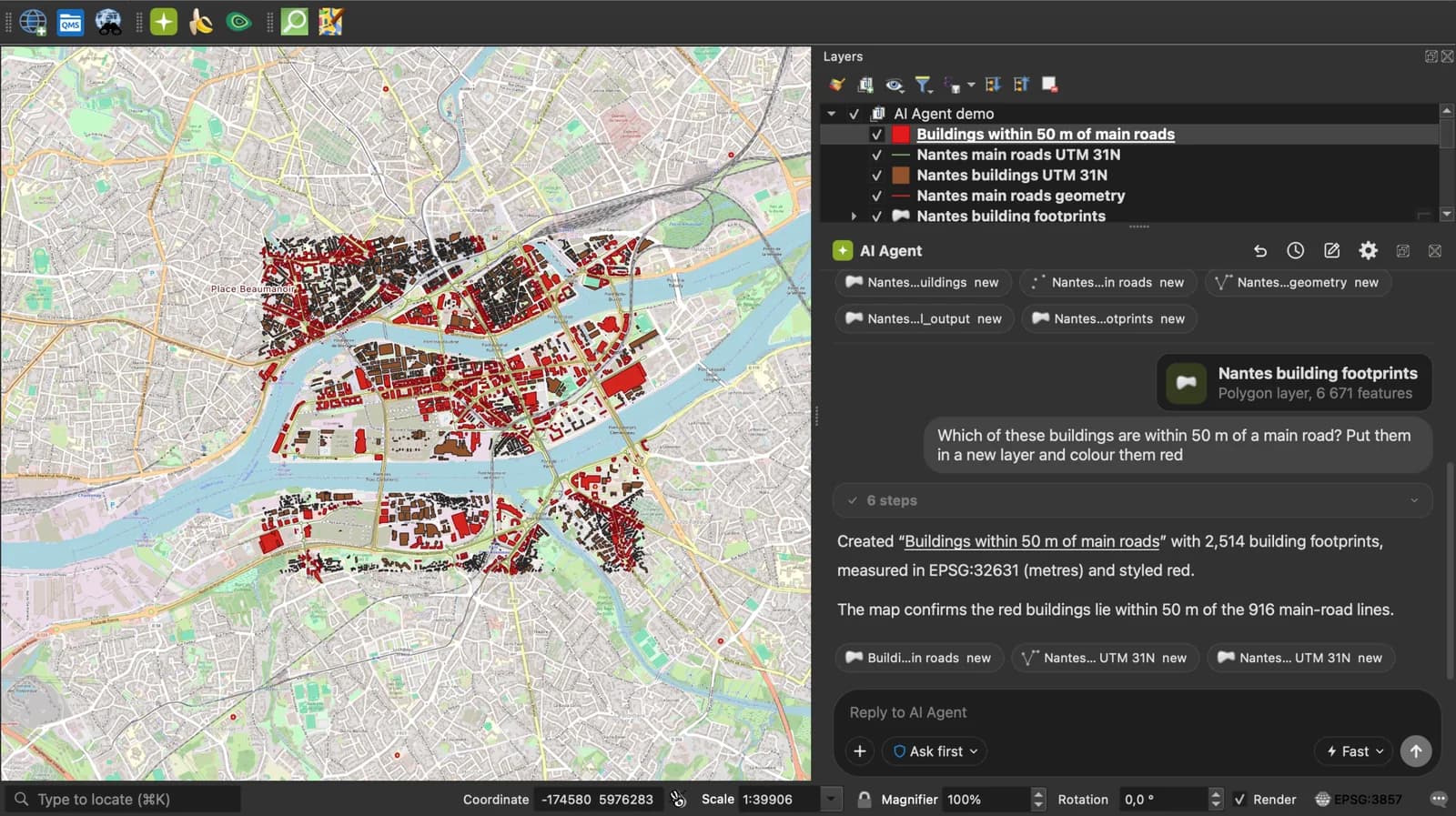
AI Agent for QGIS
Skip the converter next time: ask AI Agent in QGIS to convert, reproject and load your files.
 AI Segmentation
 AI Edit
Guide
How it works, formats and limits.
About this tool
Your recorded track as a compressed Google Earth file, made in your browser. Free, and the file never leaves your tab.
How the conversion works
- Choose a .gpx file from a Garmin, a watch, Strava, Komoot or any phone app, drop it here, or paste the GPX text.
- Each waypoint becomes a Placemark with a Point, each route a LineString, each track one LineString per segment, with elevation kept. The KML is then zipped as doc.kml, which is what a KMZ is.
- Download the .kmz and open it in Google Earth, on a phone, or send it by email: it is a fraction of the GPX's size.
How each part is mapped
Everything GPX 1.1 carries at the waypoint, route or track level.
| GPX | KMZ |
|---|---|
| wpt | A Placemark with a Point. name becomes the name, desc the description, ele the altitude. |
| rte, trk with one trkseg | A Placemark with a LineString. |
| trk with several trkseg | A Placemark with a MultiGeometry of LineStrings. |
| cmt, type, sym, time | ExtendedData fields and the placemark TimeStamp. |
What it does not do
- Per-point timestamps, heart rate, cadence and power are not carried over: a KML path has no place for them.
- No styles: the path takes Google Earth's default line.
- The KMZ holds the doc.kml only, no icons.
- Files up to 50 MB of GPX text.
Frequently asked questions
Short answers to what people ask most.
Does my GPX get uploaded?
No. The KMZ is built in your browser tab. Nothing is sent.
KMZ or KML for Google Earth?
Both open. KMZ is compressed, so it is the one to email or to open on a phone. Use the GPX to KML page if you want the text.
Is the elevation kept?
Yes, as the third coordinate of every point. Google Earth can show the path at its recorded height.
How do I export a GPX from Strava, Garmin or Komoot?
Strava: activity, three-dot menu, Export GPX. Garmin Connect: gear menu, Export to GPX. Komoot: tour, Export GPX.
Can I open the KMZ in Google My Maps?
Yes, import it as a layer.