
Convert GPX to GeoJSON
Your track as GeoJSON for a web map or your code.
Nothing is uploaded
 QGIS plugin
AI Agent for QGIS
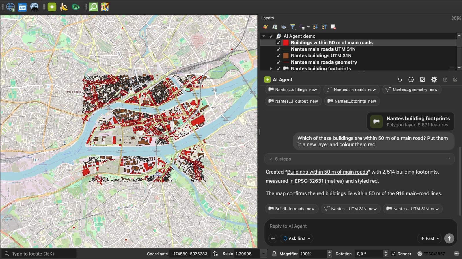
Skip the converter next time: ask AI Agent in QGIS to convert, reproject and load your files.
Get the free QGIS pluginFree plan, no credit card.
 AI Segmentation
 AI Edit
Guide
How it works, formats and limits.
About this tool
Your track as GeoJSON for a web map or your code. Free, and the file never leaves your browser.
How the conversion works
- Choose a .gpx file, drop it on the page, or paste the GPX text. Several GPX files dropped together are merged.
- Each waypoint becomes a Point feature, each route a LineString, each track a LineString or a MultiLineString when it has several segments. Elevation is the third coordinate; name, description and time are properties.
- Download the .geojson and load it in Leaflet, Mapbox, geojson.io or QGIS.
How each part is mapped
RFC 7946 GeoJSON, longitude first, WGS 84.
| GPX | GeoJSON |
|---|---|
| wpt | A Point feature. |
| rte | A LineString feature. |
| trk | A LineString, or a MultiLineString with one line per trkseg. |
| ele | The third coordinate. |
| name, desc, cmt, type, sym, time | Properties of the feature. |
What it does not do
- Per-point times and sensor extensions (heart rate, cadence, power) are not written: a LineString has no place for them.
- Files up to 50 MB of GPX text.
Frequently asked questions
Short answers to what people ask most.
Does my file get uploaded?
No. The conversion runs in your browser tab. Nothing is sent, and closing the tab clears it.
Is the elevation kept?
Yes, as the third number of each coordinate, which Leaflet ignores and Mapbox and QGIS can use.
Can I show the result on a Leaflet map?
Yes: L.geoJSON(data).addTo(map) draws the waypoints and the track as they are.
Can I merge several GPX files into one GeoJSON?
Yes. Drop them together; their features go into one FeatureCollection.