
Merge GPX files
Several tracks, one file, in the order you pick them.
Nothing is uploaded
 QGIS plugin
AI Agent for QGIS
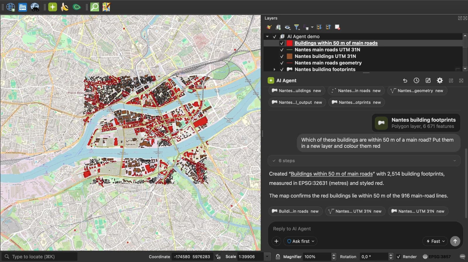
Skip the converter next time: ask AI Agent in QGIS to convert, reproject and load your files.
 AI Segmentation
 AI Edit
Guide
How it works, formats and limits.
About this tool
Several tracks, one file, in the order you pick them. Free, and the files never leave your browser.
How the merge works
- Select the .gpx files together, or drop them all on the page. The order of selection is the order in the result.
- Every waypoint, route and track of every file is read and written into one GPX 1.1, each track kept as its own track with its name, segments and elevation. Nothing is joined or simplified.
- Download the merged .gpx and load it on the device or in the app. To join the tracks into a single line, open the result in an editor such as gpx.studio.
What the merged file contains
The union of the inputs, in GPX 1.1, in input order.
| In the inputs | In the result |
|---|---|
| wpt | All waypoints, first file first. |
| rte | All routes, kept as routes. |
| trk | All tracks, each kept separate with its own name and segments. A device shows them as several tracks. |
| ele, time, name, desc, cmt, sym | Kept on every point and track. |
| Duplicate waypoints | Kept as they are. Nothing is deduplicated. |
What it does not do
- It does not join tracks into one continuous line. Each input track stays a track; joining is an editing decision, do it in gpx.studio or in QGIS.
- It does not sort by time. Files come out in the order you selected them.
- Heart rate, cadence and power extensions are not carried over.
- Files up to 50 MB together.
Frequently asked questions
Short answers to what people ask most.
Why merge GPX files?
A multi-day hike or a multi-stage ride usually logs one GPX file per day. Merging them gives you one file to load, one to share and one to keep.
Do my GPX files get uploaded?
No. The files are read and the result is written in your browser tab. Nothing is sent.
Why does my device show three tracks instead of one?
Because you merged three files and each track was kept. Most devices and apps handle that fine. To get one line, join the tracks in gpx.studio after merging.
Can I choose the order?
Yes. The order in which you select or drop the files is the order in the result. Select the first day first.
Will Strava accept the merged file?
As a route, yes. As an activity, only if every track has per-point timestamps and they do not overlap; a merge of two recorded rides on the same day usually works, two recordings of the same hour do not.
How many files can I merge?
As many as you like, up to 50 MB together. A week of daily rides is a few megabytes.