
Convert GPX to Shapefile
Waypoints and tracks from your GPS as shapefiles for QGIS or ArcGIS.
Nothing is uploaded
 QGIS plugin
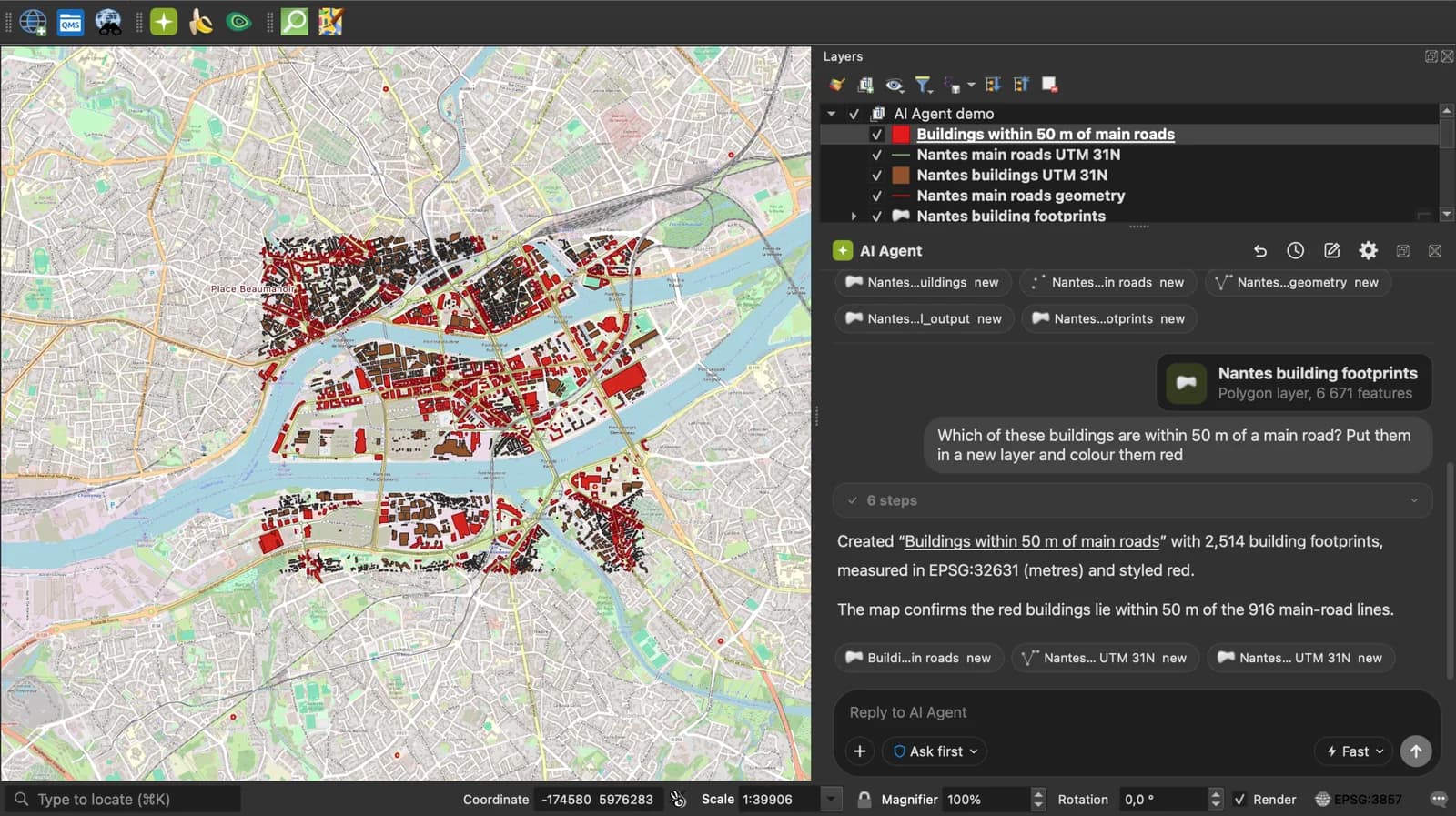
AI Agent for QGIS
Skip the converter next time: ask AI Agent in QGIS to convert, reproject and load your files.
 AI Segmentation
 AI Edit
Guide
How it works, formats and limits.
About this tool
Waypoints and tracks from your GPS as shapefiles for QGIS or ArcGIS. Free, and the file never leaves your browser.
How the conversion works
- Choose a .gpx file, drop it on the page, or paste the GPX text. Several GPX files dropped together are merged.
- Waypoints become points, routes and tracks become lines. A shapefile holds one geometry type, so a GPX with both gives two shapefiles in the zip, one for points and one for lines.
- Download the .zip with .shp, .shx, .dbf, .prj and .cpg, and add it in QGIS or ArcGIS.
How each part is mapped
Coordinates are written in WGS 84, the .prj says so.
| GPX | Shapefile |
|---|---|
| wpt | A point in the points shapefile. |
| rte, trk | A line in the lines shapefile; a track with several segments is one multi-part line. |
| name, desc, cmt, type, sym | DBF attributes, names cut to 10 characters. |
| time | A timestamp attribute: the waypoint time, or the track's first point time. |
| ele | Not written: the shapefile is 2D. |
What it does not do
- Elevation is dropped: the shapefile is written in 2D.
- Per-point times and sensor extensions are not carried over.
- Files up to 50 MB.
Frequently asked questions
Short answers to what people ask most.
Does my file get uploaded?
No. The conversion runs in your browser tab. Nothing is sent, and closing the tab clears it.
Why are there two shapefiles in the zip?
A shapefile holds a single geometry type. Waypoints go in one, tracks and routes in the other, the way ogr2ogr splits a GPX.
Can QGIS open a GPX directly?
Yes, as a vector layer. Convert to shapefile when the data has to go to someone using ArcGIS or a tool that only reads shapefiles.
What coordinate system is the output in?
WGS 84 (EPSG:4326), like the GPX. Reproject it in QGIS for a national system.