Photogrammetry vs LiDAR: Which One for Which Job
Published
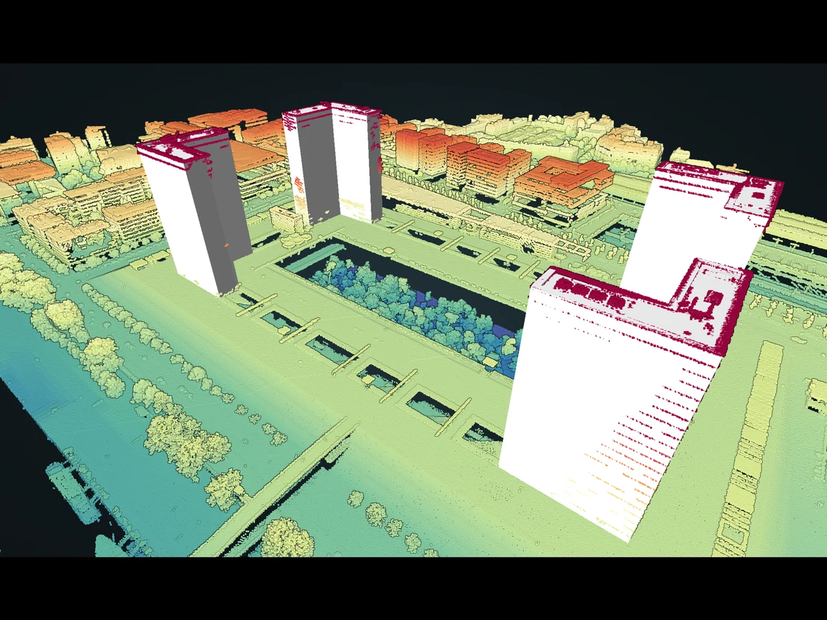
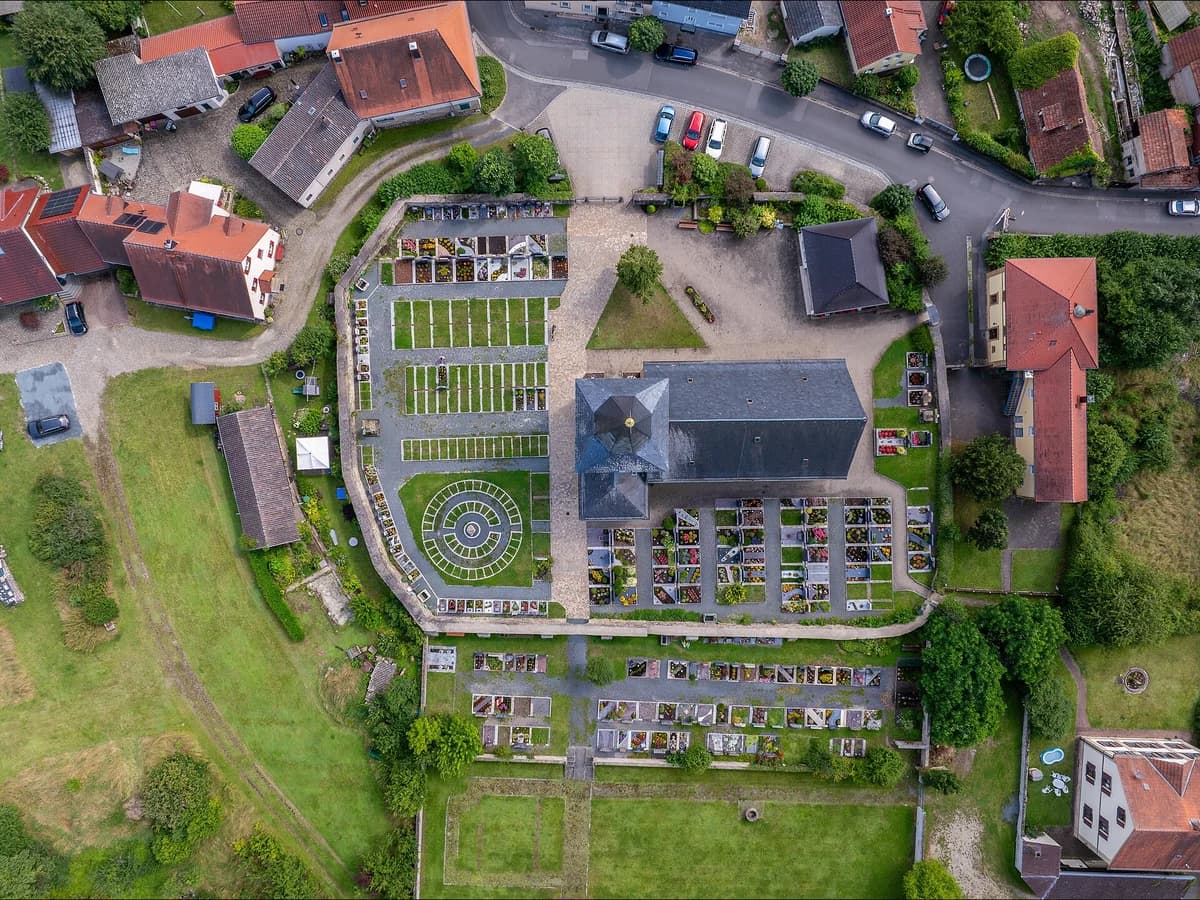
Photogrammetry computes the shape of a surface from many overlapping photographs: the same corner of a roof, seen from three positions, can only be in one place. LiDAR measures that shape directly, by timing laser pulses from a scanner to the surface and back. Both give you a point cloud and a surface model.
The difference in one line
Photogrammetry sees what the camera sees, in colour. LiDAR sees the ground under the trees, in no colour at all.
| Photogrammetry | LiDAR | |
|---|---|---|
| Sensor | An ordinary camera | A laser scanner, tens of thousands of euros |
| Needs | Daylight, texture, 70 to 80 percent overlap | A clear line to the surface. Works at night |
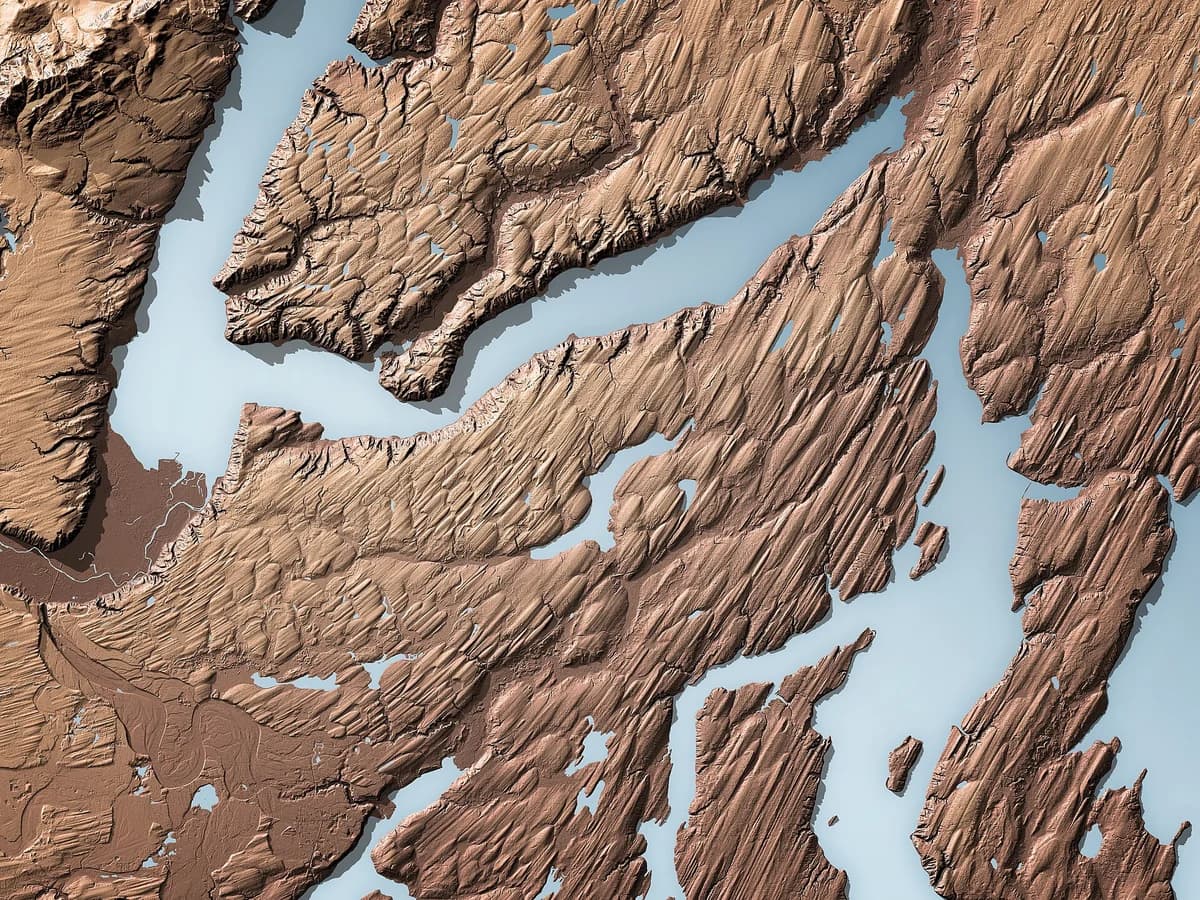
| Sees the ground under canopy | No | Yes, through gaps in the leaves |
| Fails on | Water, glass, snow, plain surfaces | Very little |
| Best deliverable | The orthomosaic, in true colour | The terrain model and the tree heights |
Why LiDAR sees the ground
A single laser pulse can return more than once: from a leaf, then a branch, then the ground. The last return of a pulse that made it through is a ground point, and enough of those make a terrain model of a forest you never saw the floor of. A camera has no second return. Under a closed canopy there is no ground in any photograph, so photogrammetry gives you the canopy top and guesses what is under it.
Which one for which job
- A building site, a quarry, a road with no trees. Photogrammetry. The surface is open and well lit, the orthomosaic is what the client wants, and the drone costs a fraction of the scanner.
- The ground under a forest, a hedge network, a riverbank in summer. LiDAR. Nothing else sees the floor.
- Flood models and drainage. A LiDAR terrain model, always. The centimetres under the hedges are where the water goes.
- Tree heights, building heights. LiDAR if you can get it, because surface minus terrain from one sensor is consistent. The DSM vs DTM page explains that subtraction.
- Extracting objects with a model. Photogrammetry, because a detection model reads imagery. AI Segmentation, the plugin we make at TerraLab for QGIS, draws polygons around roofs, trees and pools on the orthomosaic visible on the canvas. LiDAR helps afterwards, when a height tells a shed from a house.
 , draws polygons around roofs, trees and pools on the orthomosaic visible on the canvas. LiDAR helps afterwards, when a height tells a shed from a house.
Questions people ask
Is LiDAR more accurate?
On open, textured ground with good control points, they are comparable, a few centimetres either way from a drone. LiDAR wins wherever photogrammetry has nothing to match: vegetation, plain surfaces, shadow.
Does LiDAR work at night or through clouds?
At night, yes: it brings its own light. Through cloud, no: the pulse scatters.
Is there free LiDAR data?
For much of Europe and the United States, yes. France publishes LiDAR HD tiles through IGN, England publishes 1 m models through the Environment Agency, the USGS publishes 3DEP. All open in QGIS directly.
The QGIS AI hub collects what AI can and cannot do inside QGIS. The photogrammetry deliverable and its seams are on the orthomosaic vs orthophoto page.