
Free GIS tools
Convert, reproject and download GIS data, right in your browser.
/
Convert a file
KML, KMZ, CSV, GeoJSON, Shapefile (.zip or .shp + .dbf + .prj), GPX
or drop a file anywhere on the pageAll tools

 QGIS plugin
AI Agent for QGIS
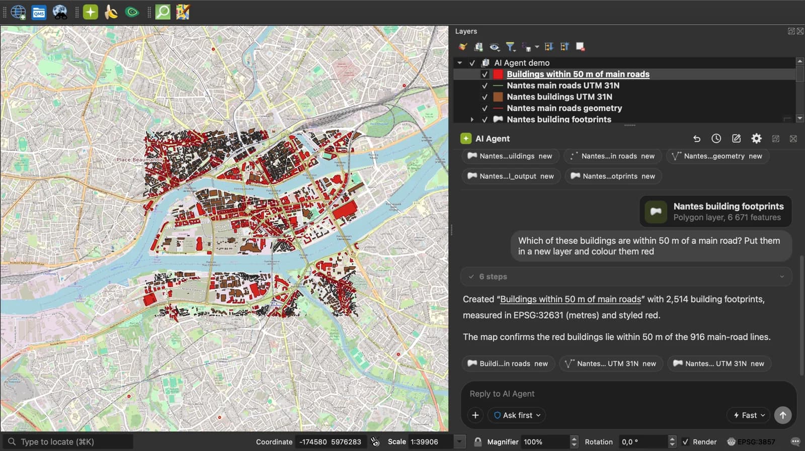
Do all of this inside QGIS: ask AI Agent to find the data, convert it and build the map.
Get the free QGIS pluginFree plan, no credit card.
 AI Segmentation
 AI Edit
Guide
How it works, formats and limits.
About these tools
Each one runs in your browser tab. No upload, no account, no file size counter.
Format converters
One page per pair. Drop the file, download the result. The same reader and writer sit behind every pair, so a KML that converts to CSV converts to GeoJSON, Shapefile, KMZ and GPX too.
Coordinates
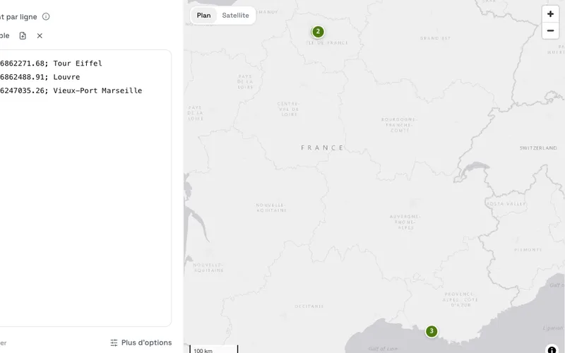
- Coordinate converter: Lambert 93, Lambert CC, UTM, Web Mercator, national grids and WGS 84 in degrees or DMS. One point or a whole table.
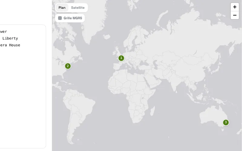
- MGRS converter: MGRS grid references to latitude and longitude and back, with or without spaces, 1 to 5 digit precision.
- ogr2ogr command builder: Fill a form, copy a GDAL command that converts, reprojects, filters or loads vector data into PostGIS.
Data
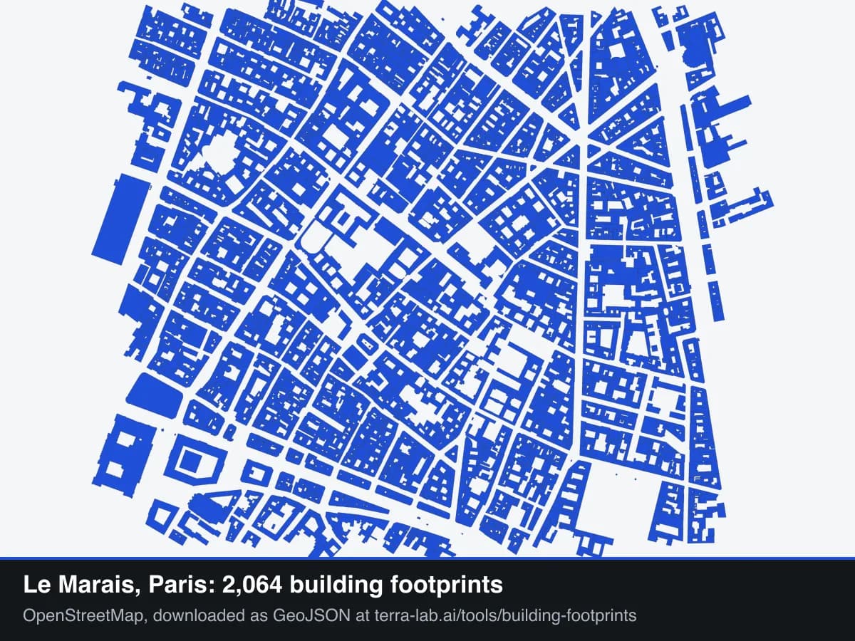
- Building footprint downloader: Draw a box anywhere and download OpenStreetMap, Microsoft or Google Open Buildings footprints as GeoJSON, licence included.